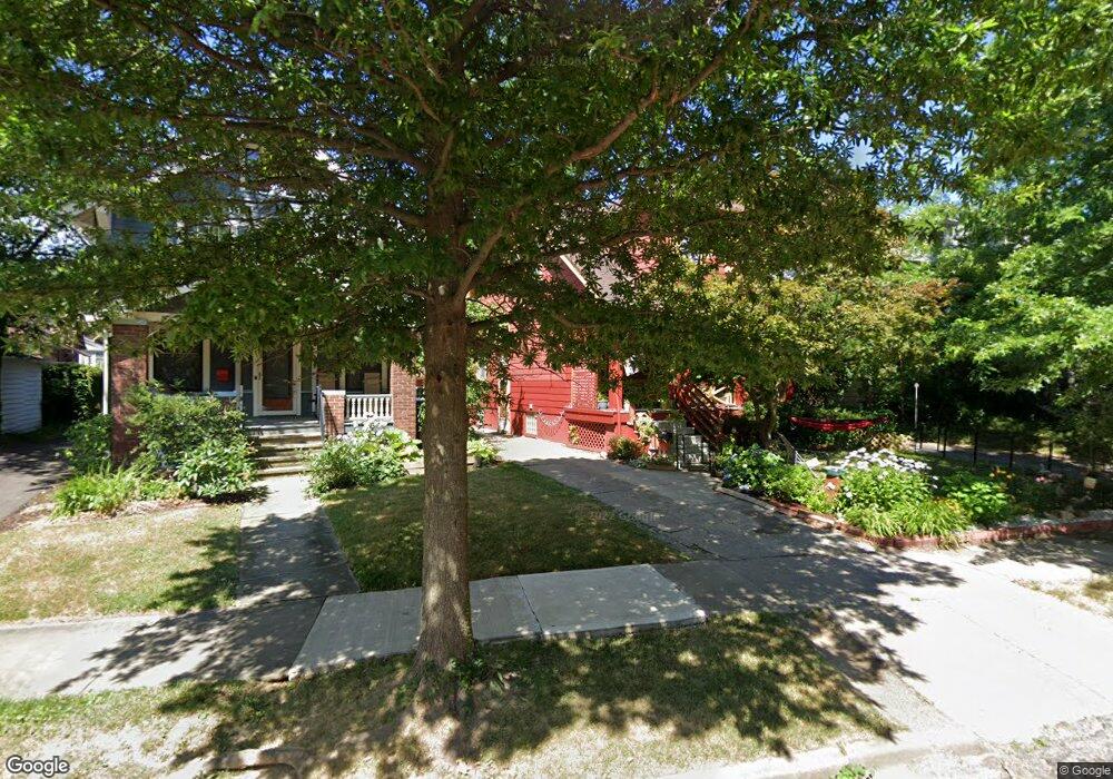
1812 Radnor Rd Cleveland, OH 44118
Estimated Value: $188,338 - $246,000
3
Beds
1
Bath
1,267
Sq Ft
$168/Sq Ft
Est. Value
About This Home
This home is located at 1812 Radnor Rd, Cleveland, OH 44118 and is currently estimated at $212,835, approximately $167 per square foot. 1812 Radnor Rd is a home located in Cuyahoga County with nearby schools including Boulevard Elementary School, Roxboro Middle School, and Cleveland Heights High School.
Ownership History
Date
Name
Owned For
Owner Type
Purchase Details
Closed on
Nov 10, 2006
Sold by
Graf Leslie F
Bought by
Campbell Scott R
Current Estimated Value
Home Financials for this Owner
Home Financials are based on the most recent Mortgage that was taken out on this home.
Original Mortgage
$119,200
Outstanding Balance
$76,863
Interest Rate
7.87%
Mortgage Type
Purchase Money Mortgage
Estimated Equity
$135,972
Purchase Details
Closed on
Apr 29, 1999
Sold by
Meister Barry D and Meister Gail
Bought by
Graf Leslie F
Home Financials for this Owner
Home Financials are based on the most recent Mortgage that was taken out on this home.
Original Mortgage
$73,000
Interest Rate
7.05%
Purchase Details
Closed on
Oct 28, 1993
Sold by
Meister Barry D and Meister Gail
Bought by
Meister Barry D
Purchase Details
Closed on
Jan 1, 1975
Bought by
Meister Barry D and Meister Gail
Create a Home Valuation Report for This Property
The Home Valuation Report is an in-depth analysis detailing your home's value as well as a comparison with similar homes in the area
Home Values in the Area
Average Home Value in this Area
Purchase History
| Date | Buyer | Sale Price | Title Company |
|---|---|---|---|
| Campbell Scott R | $149,000 | Enterprise Title Agency | |
| Graf Leslie F | $97,000 | Action Title Agency Inc | |
| Meister Barry D | -- | -- | |
| Meister Barry D | -- | -- |
Source: Public Records
Mortgage History
| Date | Status | Borrower | Loan Amount |
|---|---|---|---|
| Open | Campbell Scott R | $119,200 | |
| Previous Owner | Graf Leslie F | $73,000 |
Source: Public Records
Tax History Compared to Growth
Tax History
| Year | Tax Paid | Tax Assessment Tax Assessment Total Assessment is a certain percentage of the fair market value that is determined by local assessors to be the total taxable value of land and additions on the property. | Land | Improvement |
|---|---|---|---|---|
| 2024 | $4,889 | $57,750 | $12,985 | $44,765 |
| 2023 | $5,781 | $51,600 | $10,820 | $40,780 |
| 2022 | $5,707 | $51,590 | $10,815 | $40,775 |
| 2021 | $5,438 | $51,590 | $10,820 | $40,780 |
| 2020 | $5,369 | $46,060 | $9,660 | $36,400 |
| 2019 | $5,392 | $131,600 | $27,600 | $104,000 |
| 2018 | $5,073 | $46,060 | $9,660 | $36,400 |
| 2017 | $5,252 | $41,860 | $8,120 | $33,740 |
| 2016 | $4,950 | $41,860 | $8,120 | $33,740 |
| 2015 | $4,345 | $41,860 | $8,120 | $33,740 |
| 2014 | $4,345 | $38,750 | $7,530 | $31,220 |
Source: Public Records
Map
Nearby Homes
- 2940 Somerton Rd
- 3048 Euclid Heights Blvd
- 1890 Woodward Ave
- 14269 Superior Rd
- 14265 Superior Rd
- 1725 Preyer Ave
- 3007 Edgehill Rd
- 3115 Lincoln Blvd
- 1901 Parkway Dr
- 1645 Cumberland Rd
- 14450 Superior Rd
- 1635 Hillcrest Rd
- 3054 E Overlook Rd
- 1695 Lee Rd
- 3165 Oak Rd
- 3215 Euclid Heights Blvd
- 1602 Hillcrest Rd
- 1676 Glenmont Rd
- 3094 Berkshire Rd
- 1935 Coventry Rd
- 1816 Radnor Rd
- 1808 Radnor Rd
- 2983 Somerton Rd
- 2973 Somerton Rd
- 2979 Somerton Rd
- 1802 Radnor Rd
- 2993 Somerton Rd
- 2969 Somerton Rd
- 1798 Radnor Rd
- 1815 Middlehurst Rd
- 1809 Middlehurst Rd
- 2997 Somerton Rd
- 1803 Radnor Rd
- 1805 Middlehurst Rd
- 2965 Somerton Rd
- 1821 Middlehurst Rd
- 1792 Radnor Rd
- 3003 Somerton Rd
- 1799 Middlehurst Rd
- 1797 Radnor Rd