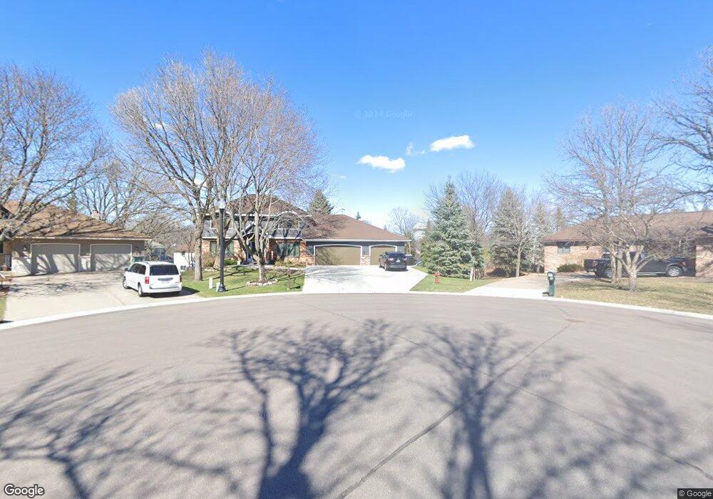
1813 127th Ln NW Coon Rapids, MN 55448
Estimated Value: $484,000 - $503,045
5
Beds
4
Baths
2,280
Sq Ft
$218/Sq Ft
Est. Value
About This Home
This home is located at 1813 127th Ln NW, Coon Rapids, MN 55448 and is currently estimated at $498,011, approximately $218 per square foot. 1813 127th Ln NW is a home located in Anoka County with nearby schools including Lucile Bruner Elementary School, Morris Bye Elementary School, and Laughlin Junior/Senior High School.
Ownership History
Date
Name
Owned For
Owner Type
Purchase Details
Closed on
Mar 14, 2014
Sold by
Heilman Mark Alan and Heilman Mary Beth
Bought by
Marybeth Heilman Trust
Current Estimated Value
Purchase Details
Closed on
May 15, 1998
Sold by
Fletcher Ronald R and Fletcher Nancy J
Bought by
Heilman Mark Alan and Heilman Mary Beth
Purchase Details
Closed on
Mar 30, 1998
Sold by
Ludwig Ronald J and Ludwig Virginia I
Bought by
Fletcher Ronald R
Create a Home Valuation Report for This Property
The Home Valuation Report is an in-depth analysis detailing your home's value as well as a comparison with similar homes in the area
Home Values in the Area
Average Home Value in this Area
Purchase History
| Date | Buyer | Sale Price | Title Company |
|---|---|---|---|
| Marybeth Heilman Trust | -- | None Available | |
| Heilman Mark Alan | $214,500 | -- | |
| Fletcher Ronald R | $199,635 | -- |
Source: Public Records
Tax History Compared to Growth
Tax History
| Year | Tax Paid | Tax Assessment Tax Assessment Total Assessment is a certain percentage of the fair market value that is determined by local assessors to be the total taxable value of land and additions on the property. | Land | Improvement |
|---|---|---|---|---|
| 2025 | $5,423 | $515,900 | $94,500 | $421,400 |
| 2024 | $5,423 | $501,500 | $91,400 | $410,100 |
| 2023 | $4,966 | $492,300 | $75,600 | $416,700 |
| 2022 | $4,674 | $500,900 | $75,600 | $425,300 |
| 2021 | $4,547 | $415,300 | $58,800 | $356,500 |
| 2020 | $4,436 | $395,200 | $58,800 | $336,400 |
| 2019 | $4,348 | $370,500 | $58,800 | $311,700 |
| 2018 | $4,282 | $353,100 | $0 | $0 |
| 2017 | $3,799 | $337,200 | $0 | $0 |
| 2016 | $3,885 | $295,900 | $0 | $0 |
| 2015 | $3,775 | $295,900 | $52,500 | $243,400 |
| 2014 | -- | $241,700 | $37,200 | $204,500 |
Source: Public Records
Map
Nearby Homes
- 1930 127th Cir NW
- 12554 Grouse St NW
- 1520 129th Ave NW
- 1593 126th Ln NW
- 1687 131st Ln NW
- 12796 Bluebird St NW
- 1450 126th Ln NW
- 1776 133rd Ave NW
- 12760 Raven St NW
- 12365 Jay St NW
- 1625 124th Ave NW
- 2147 125th Ln NW
- 2068 124th Ln NW
- 12463 Drake St NW
- 1234 128th Cir NW
- 13416 Swallow St NW
- 1727 121st Ln NW
- 13519 Partridge Cir NW
- 12488 Unity St NW
- 13182 Zion St NW
- 1821 127th Ln NW
- 1805 127th Ln NW
- 1778 128th Ave NW
- 1770 128th Ave NW
- 1829 127th Ln NW
- 1754 128th Ave NW
- 1784 128th Ave NW
- 1812 127th Ln NW
- 1820 127th Ln NW
- 1828 127th Ln NW
- 1738 128th Ave NW
- 1837 127th Ln NW
- 1800 128th Ave NW
- 12736 Ibis St NW
- 12746 Ibis St NW
- 12754 Ibis St NW
- 12855 Jay St NW
- 1836 127th Ln NW
- 12762 Ibis St NW
- 12730 Ibis St NW