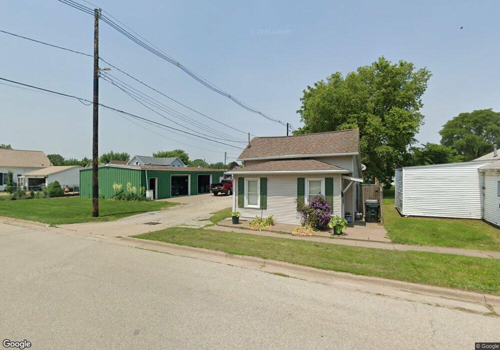
1813 Benham Ave Muscatine, IA 52761
Estimated Value: $67,615 - $88,000
1
Bed
1
Bath
632
Sq Ft
$123/Sq Ft
Est. Value
About This Home
This home is located at 1813 Benham Ave, Muscatine, IA 52761 and is currently estimated at $77,654, approximately $122 per square foot. 1813 Benham Ave is a home located in Muscatine County with nearby schools including Franklin Elementary School, Susan Clark Junior High School, and Muscatine High School.
Ownership History
Date
Name
Owned For
Owner Type
Purchase Details
Closed on
Jul 17, 2013
Sold by
Peck Michael and Peck Karol
Bought by
Lovell Crystal D
Current Estimated Value
Purchase Details
Closed on
Feb 26, 2007
Sold by
Nationstar Mortgage Llc
Bought by
Peck Michael and Peck Karol
Home Financials for this Owner
Home Financials are based on the most recent Mortgage that was taken out on this home.
Original Mortgage
$18,100
Interest Rate
5.08%
Mortgage Type
New Conventional
Create a Home Valuation Report for This Property
The Home Valuation Report is an in-depth analysis detailing your home's value as well as a comparison with similar homes in the area
Home Values in the Area
Average Home Value in this Area
Purchase History
| Date | Buyer | Sale Price | Title Company |
|---|---|---|---|
| Lovell Crystal D | $20,000 | None Available | |
| Peck Michael | $16,500 | None Available |
Source: Public Records
Mortgage History
| Date | Status | Borrower | Loan Amount |
|---|---|---|---|
| Previous Owner | Peck Michael | $18,100 |
Source: Public Records
Tax History Compared to Growth
Tax History
| Year | Tax Paid | Tax Assessment Tax Assessment Total Assessment is a certain percentage of the fair market value that is determined by local assessors to be the total taxable value of land and additions on the property. | Land | Improvement |
|---|---|---|---|---|
| 2025 | $480 | $54,050 | $4,220 | $49,830 |
| 2024 | $480 | $50,440 | $4,220 | $46,220 |
| 2023 | $750 | $49,841 | $4,229 | $45,612 |
| 2022 | $626 | $46,120 | $3,990 | $42,130 |
| 2021 | $626 | $39,590 | $3,990 | $35,600 |
| 2020 | $578 | $36,340 | $3,420 | $32,920 |
| 2019 | $574 | $34,500 | $0 | $0 |
| 2018 | $562 | $34,500 | $0 | $0 |
| 2017 | $562 | $32,070 | $0 | $0 |
| 2016 | $528 | $32,070 | $0 | $0 |
| 2015 | $528 | $33,140 | $0 | $0 |
| 2014 | $556 | $32,010 | $0 | $0 |
Source: Public Records
Map
Nearby Homes
- 1708 Schley Ave
- 1908 Sampson St
- 1909 Wallace St
- 2108 Breese Ave
- 609 Liberty St
- LOTS 30-34 Evans St
- 0 Towhead Island Unit 23-716
- 111 Gilbert St
- 1903 Hershey Ave
- 1827 Hershey Ave
- LOT 5 Pine Ridge
- LOT 4 Pine Ridge
- LOT 6 Pine Ridge
- 0 Parcel 1302108019 (Busch St)
- 900 W 3rd St
- 1603 Lucas St
- 701 W Mississippi Dr
- 0 High Street Parcel
- 613 W 5th St
- 208 Fletcher Ave
- 1815 Benham Ave
- 1119 Nebraska St
- 1113 Nebraska St
- 1111 Nebraska St
- 1817 Benham Ave
- 1201 Nebraska St
- 1109 Nebraska St
- 1116 Kansas St
- 1202 Kansas St
- 1105 Nebraska St
- 1108 Kansas St
- 1203 Nebraska St
- 1812 Baker Ave
- 1204 Kansas St
- 1808 Baker Ave
- 1101 Nebraska St
- 1816 Baker Ave
- 1120 Nebraska St
- 1114 Nebraska St
- 1205 Nebraska St