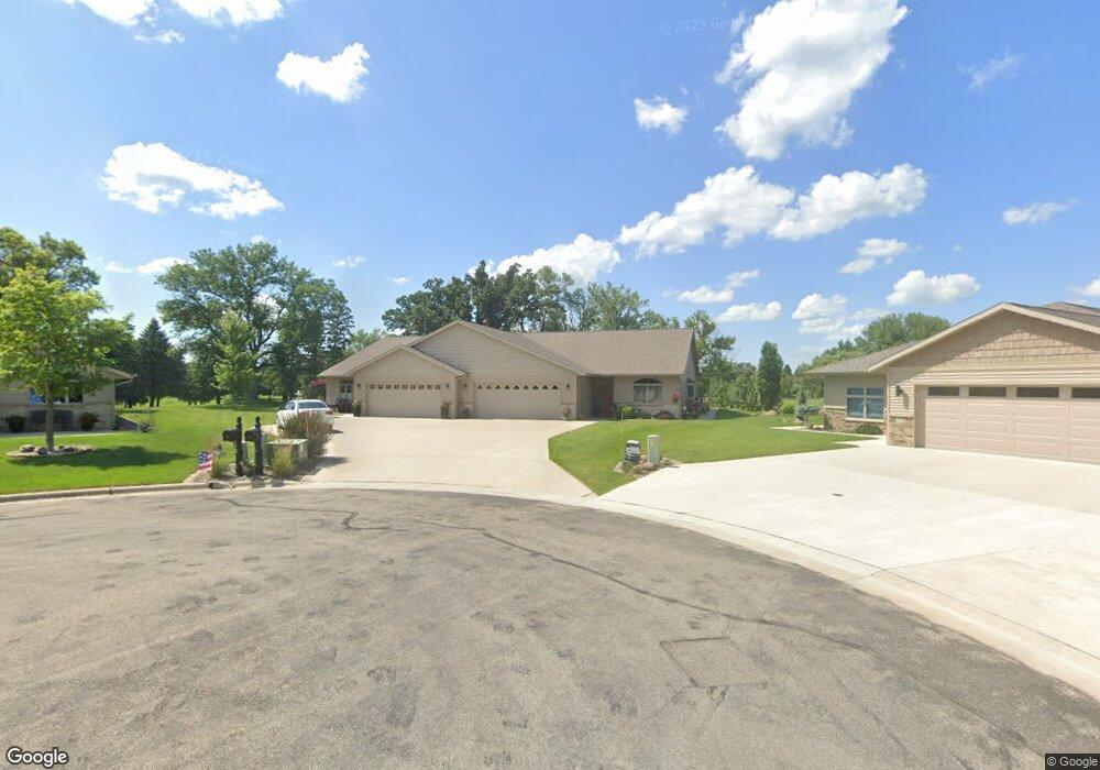
1813 Hale Dr Albert Lea, MN 56007
Estimated Value: $362,000 - $385,000
2
Beds
3
Baths
1,926
Sq Ft
$195/Sq Ft
Est. Value
About This Home
This home is located at 1813 Hale Dr, Albert Lea, MN 56007 and is currently estimated at $375,522, approximately $194 per square foot. 1813 Hale Dr is a home with nearby schools including Hawthorne Elementary School, Southwest Middle School, and Albert Lea Senior High School.
Ownership History
Date
Name
Owned For
Owner Type
Purchase Details
Closed on
Sep 30, 2016
Current Estimated Value
Home Financials for this Owner
Home Financials are based on the most recent Mortgage that was taken out on this home.
Original Mortgage
$50,000
Outstanding Balance
$39,830
Interest Rate
3.43%
Estimated Equity
$335,692
Purchase Details
Closed on
Aug 19, 2016
Bought by
Harves Floyd Floyd
Home Financials for this Owner
Home Financials are based on the most recent Mortgage that was taken out on this home.
Original Mortgage
$50,000
Outstanding Balance
$39,830
Interest Rate
3.43%
Estimated Equity
$335,692
Purchase Details
Closed on
Aug 9, 2016
Sold by
Dress George George
Home Financials for this Owner
Home Financials are based on the most recent Mortgage that was taken out on this home.
Original Mortgage
$50,000
Outstanding Balance
$39,830
Interest Rate
3.43%
Estimated Equity
$335,692
Create a Home Valuation Report for This Property
The Home Valuation Report is an in-depth analysis detailing your home's value as well as a comparison with similar homes in the area
Home Values in the Area
Average Home Value in this Area
Purchase History
| Date | Buyer | Sale Price | Title Company |
|---|---|---|---|
| -- | $45,000 | -- | |
| Harves Floyd Floyd | $50,000 | -- | |
| -- | $125,000 | -- |
Source: Public Records
Mortgage History
| Date | Status | Borrower | Loan Amount |
|---|---|---|---|
| Open | Harves Floyd Floyd | $50,000 |
Source: Public Records
Tax History Compared to Growth
Tax History
| Year | Tax Paid | Tax Assessment Tax Assessment Total Assessment is a certain percentage of the fair market value that is determined by local assessors to be the total taxable value of land and additions on the property. | Land | Improvement |
|---|---|---|---|---|
| 2025 | $4,966 | $379,500 | $33,800 | $345,700 |
| 2024 | $4,924 | $333,000 | $33,800 | $299,200 |
| 2023 | $4,738 | $331,800 | $33,800 | $298,000 |
| 2022 | $2,208 | $320,300 | $33,800 | $286,500 |
| 2021 | $2,208 | $266,100 | $33,800 | $232,300 |
| 2020 | $2,596 | $143,800 | $33,800 | $110,000 |
| 2019 | $2,400 | $134,200 | $33,800 | $100,400 |
| 2018 | $2,330 | $0 | $0 | $0 |
| 2016 | $384 | $0 | $0 | $0 |
| 2015 | $370 | $0 | $0 | $0 |
| 2014 | $372 | $0 | $0 | $0 |
| 2012 | $502 | $0 | $0 | $0 |
Source: Public Records
Map
Nearby Homes
- 1626 Keystone Dr
- 705 Glenview Dr
- 313 Glenn Rd
- 209 Burr Oak Dr
- 2161 Highland Ave
- 314 Burr Oak Dr
- 605 E Hawthorne St
- 1321 Garfield Ave
- TBD 2709 - 2715 Bridge Ave
- 613 & 615 Giles Place
- 618 & 620 Giles Place
- 1020 Saint Jacob Ave
- 902 Clausen Ave
- xxx Hi Tec Ave
- 309 Garden Rd
- 314 Garden Rd
- 711 Clausen Ave
- 819 Pillsbury Ave
- TBD Bridgeport Subdivision
- 1200 Crestview Rd