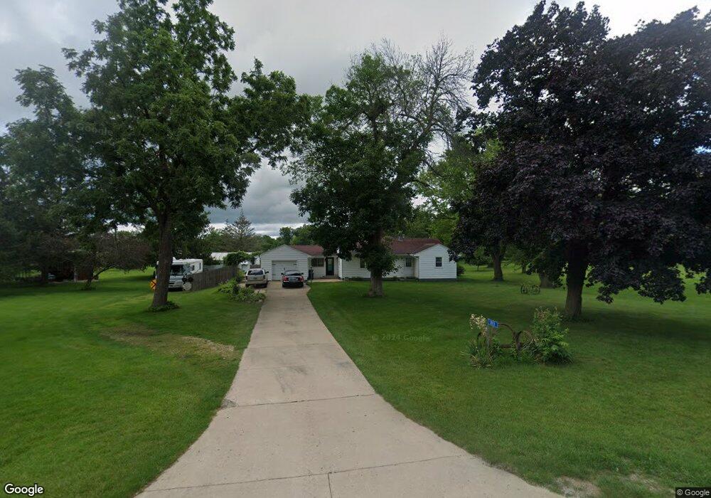
1813 Maple Way Coggon, IA 52218
Estimated Value: $196,000 - $244,000
3
Beds
1
Bath
1,412
Sq Ft
$152/Sq Ft
Est. Value
About This Home
This home is located at 1813 Maple Way, Coggon, IA 52218 and is currently estimated at $215,112, approximately $152 per square foot. 1813 Maple Way is a home located in Linn County with nearby schools including North Linn Elementary School, North-Linn Middle School, and North-Linn Senior High School.
Ownership History
Date
Name
Owned For
Owner Type
Purchase Details
Closed on
Mar 1, 2021
Sold by
Protaskev James A
Bought by
Sciorrotta Congetta M
Current Estimated Value
Purchase Details
Closed on
Aug 6, 2003
Sold by
Ironside Edward James and Ironside Dorothy
Bought by
Goedken Kevin Joseph and Goedken Congetta Marie
Home Financials for this Owner
Home Financials are based on the most recent Mortgage that was taken out on this home.
Original Mortgage
$151,525
Interest Rate
5.62%
Mortgage Type
Purchase Money Mortgage
Create a Home Valuation Report for This Property
The Home Valuation Report is an in-depth analysis detailing your home's value as well as a comparison with similar homes in the area
Home Values in the Area
Average Home Value in this Area
Purchase History
| Date | Buyer | Sale Price | Title Company |
|---|---|---|---|
| Sciorrotta Congetta M | -- | None Available | |
| Goedken Kevin Joseph | $159,000 | -- |
Source: Public Records
Mortgage History
| Date | Status | Borrower | Loan Amount |
|---|---|---|---|
| Previous Owner | Goedken Kevin Joseph | $151,525 |
Source: Public Records
Tax History Compared to Growth
Tax History
| Year | Tax Paid | Tax Assessment Tax Assessment Total Assessment is a certain percentage of the fair market value that is determined by local assessors to be the total taxable value of land and additions on the property. | Land | Improvement |
|---|---|---|---|---|
| 2025 | $2,314 | $205,500 | $46,900 | $158,600 |
| 2024 | $2,258 | $196,500 | $46,900 | $149,600 |
| 2023 | $2,258 | $196,500 | $46,900 | $149,600 |
| 2022 | $2,254 | $164,900 | $46,900 | $118,000 |
| 2021 | $1,850 | $164,900 | $46,900 | $118,000 |
| 2020 | $1,850 | $132,400 | $32,900 | $99,500 |
| 2019 | $1,800 | $132,400 | $32,900 | $99,500 |
| 2018 | $1,824 | $132,400 | $32,900 | $99,500 |
| 2017 | $2,006 | $130,100 | $32,900 | $97,200 |
| 2016 | $2,006 | $130,100 | $32,900 | $97,200 |
| 2015 | $2,158 | $138,200 | $32,900 | $105,300 |
| 2014 | $2,022 | $138,200 | $32,900 | $105,300 |
| 2013 | $1,972 | $138,200 | $32,900 | $105,300 |
Source: Public Records
Map
Nearby Homes
- 110 E Linn St
- 113 E Vinton St
- 215 2nd St N
- 321 3rd St S
- 403 3rd St S
- 130 3rd Ave E
- 517 E Linn St
- 104 5th Ave Ct
- 531 E Linn St
- 100 5th Ave Ct
- 5050 Shady Oak Ave
- 4889 Valley Farm Rd
- 1258 Rollins Rd
- 504 Prairie Hills Dr
- 257 5th St N
- 0 Parcel: 03104-02001-00000 Unit 2502368
- 29 5th St N
- 0 300th St & 140th Ave
- 832 E Main St
- 1900 Maine Ridge Rd
- 1814 Maple Way
- 1812 Maple Way
- 1816 Maple Way
- 1805 Maple Way
- 1827 Maple Way
- 1820 Maple Way
- 1804 Maple Way
- 1804 Maple Way
- 1801 Maple Way
- 1828 Maple Way
- 1799 Maple Way
- 1802 Maple Way
- 1797 Maple Way
- 1795 Maple Way
- 1858 Coggon Rd
- 1862 Coggon Rd
- 216 S Railroad St
- 112 S Railroad St
- 210 S Railroad St
- 116 S Railroad St