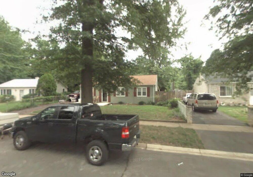
1813 Saunders Way Glen Burnie, MD 21061
Estimated Value: $310,403 - $327,000
--
Bed
1
Bath
988
Sq Ft
$319/Sq Ft
Est. Value
About This Home
This home is located at 1813 Saunders Way, Glen Burnie, MD 21061 and is currently estimated at $314,851, approximately $318 per square foot. 1813 Saunders Way is a home located in Anne Arundel County with nearby schools including Woodside Elementary School, Corkran Middle School, and Glen Burnie High School.
Ownership History
Date
Name
Owned For
Owner Type
Purchase Details
Closed on
Aug 1, 2025
Sold by
Dukehart Sherry A and Dukehart Steven C
Bought by
Dukehart Ian and Dukehart Cierra N
Current Estimated Value
Home Financials for this Owner
Home Financials are based on the most recent Mortgage that was taken out on this home.
Original Mortgage
$294,500
Outstanding Balance
$294,242
Interest Rate
6.67%
Mortgage Type
New Conventional
Estimated Equity
$20,609
Purchase Details
Closed on
Aug 22, 2019
Sold by
Second Reversionary Partnership
Bought by
Ground Rents Llc
Purchase Details
Closed on
Apr 3, 2009
Sold by
Markey Sherry A
Bought by
Dukehart Sherry A and Dukehart Steven C
Home Financials for this Owner
Home Financials are based on the most recent Mortgage that was taken out on this home.
Original Mortgage
$160,000
Interest Rate
6.39%
Mortgage Type
New Conventional
Purchase Details
Closed on
Aug 8, 1991
Sold by
Strickland Daniel F
Bought by
Markey Sherry A
Home Financials for this Owner
Home Financials are based on the most recent Mortgage that was taken out on this home.
Original Mortgage
$84,050
Interest Rate
9.44%
Create a Home Valuation Report for This Property
The Home Valuation Report is an in-depth analysis detailing your home's value as well as a comparison with similar homes in the area
Home Values in the Area
Average Home Value in this Area
Purchase History
| Date | Buyer | Sale Price | Title Company |
|---|---|---|---|
| Dukehart Ian | $310,000 | Title Rite Services | |
| Ground Rents Llc | $30,352 | None Available | |
| Dukehart Sherry A | -- | -- | |
| Markey Sherry A | $83,000 | -- |
Source: Public Records
Mortgage History
| Date | Status | Borrower | Loan Amount |
|---|---|---|---|
| Open | Dukehart Ian | $294,500 | |
| Previous Owner | Dukehart Sherry A | $160,000 | |
| Previous Owner | Markey Sherry A | $84,050 |
Source: Public Records
Tax History Compared to Growth
Tax History
| Year | Tax Paid | Tax Assessment Tax Assessment Total Assessment is a certain percentage of the fair market value that is determined by local assessors to be the total taxable value of land and additions on the property. | Land | Improvement |
|---|---|---|---|---|
| 2025 | $2,552 | $267,200 | $142,600 | $124,600 |
| 2024 | $2,552 | $252,600 | $0 | $0 |
| 2023 | $1,993 | $238,000 | $0 | $0 |
| 2022 | $2,292 | $223,400 | $112,600 | $110,800 |
| 2021 | $4,511 | $219,167 | $0 | $0 |
| 2020 | $2,178 | $214,933 | $0 | $0 |
| 2019 | $4,207 | $210,700 | $102,600 | $108,100 |
| 2018 | $2,107 | $207,833 | $0 | $0 |
| 2017 | $2,031 | $204,967 | $0 | $0 |
| 2016 | -- | $91,800 | $0 | $0 |
| 2015 | -- | $148,333 | $0 | $0 |
| 2014 | -- | $139,767 | $0 | $0 |
Source: Public Records
Map
Nearby Homes
- 1701 Norfolk Rd
- 1731 Saunders Way
- 1921 Norwich Rd
- 1702 Manning Rd
- 1612 Lorimer Rd
- 8918 Twin Ridge Dr
- 1909 Pagham Rd
- 1613 Kimber Rd
- 8903 Jeff Mar Dr
- 8906 Jeff Mar Dr
- 100 Sandsbury Ave
- 206 Sandsbury Ave
- 405 Morningside Dr
- 1318 Tarrant Rd
- 1003 Lee Rd
- 180 Jessica Ln
- 338 White Oak Way
- 0 Irene Dr
- 7911 Ritchie Hwy
- 201 Nina Ct
- 1811 Saunders Way
- 1815 Saunders Way
- 1809 Saunders Way
- 1817 Saunders Way
- 1806 Saunders Way
- 1812 Saunders Way
- 1807 Saunders Way
- 1804 Saunders Way
- 1808 Saunders Way
- 1810 Saunders Way
- 1805 Saunders Way
- 1802 Saunders Way
- 1705 Norfolk Rd
- 1703 Norfolk Rd
- 1707 Norfolk Rd
- 1803 Saunders Way
- 1800 Saunders Way
- 1910 Norwich Rd
- 1801 Saunders Way
- 1914 Norwich Rd