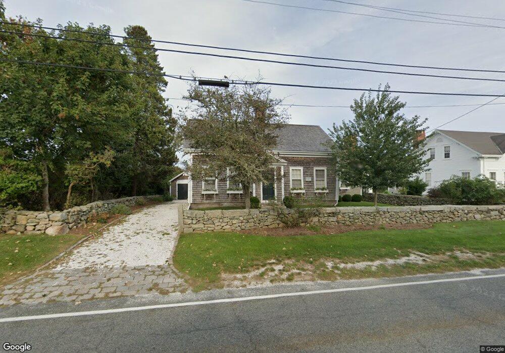
1814 Main Rd Westport Point, MA 02791
Westport Point NeighborhoodEstimated Value: $1,029,491 - $1,187,000
3
Beds
--
Bath
1,938
Sq Ft
$559/Sq Ft
Est. Value
About This Home
This home is located at 1814 Main Rd, Westport Point, MA 02791 and is currently estimated at $1,084,164, approximately $559 per square foot. 1814 Main Rd is a home with nearby schools including Alice A. Macomber Primary School, Westport Elementary School, and Westport Middle-High School.
Ownership History
Date
Name
Owned For
Owner Type
Purchase Details
Closed on
Mar 2, 2018
Sold by
Bean Barbara A
Bought by
Barbara M Bean 2018 T M and Barbara Bean
Current Estimated Value
Purchase Details
Closed on
Sep 29, 1998
Sold by
Milliken Dudley L and Milliken Dora Atwater
Bought by
Bean Barbara A
Purchase Details
Closed on
Jan 27, 1995
Sold by
Pratt Joan E
Bought by
Millikin Dudley L
Home Financials for this Owner
Home Financials are based on the most recent Mortgage that was taken out on this home.
Original Mortgage
$180,000
Interest Rate
9.24%
Mortgage Type
Purchase Money Mortgage
Create a Home Valuation Report for This Property
The Home Valuation Report is an in-depth analysis detailing your home's value as well as a comparison with similar homes in the area
Home Values in the Area
Average Home Value in this Area
Purchase History
| Date | Buyer | Sale Price | Title Company |
|---|---|---|---|
| Barbara M Bean 2018 T M | -- | -- | |
| Barbara M Bean 2018 T M | -- | -- | |
| Bean Barbara A | $395,000 | -- | |
| Bean Barbara A | $395,000 | -- | |
| Millikin Dudley L | $270,000 | -- | |
| Millikin Dudley L | $270,000 | -- |
Source: Public Records
Mortgage History
| Date | Status | Borrower | Loan Amount |
|---|---|---|---|
| Previous Owner | Millikin Dudley L | $180,000 | |
| Previous Owner | Millikin Dudley L | $150,000 |
Source: Public Records
Tax History Compared to Growth
Tax History
| Year | Tax Paid | Tax Assessment Tax Assessment Total Assessment is a certain percentage of the fair market value that is determined by local assessors to be the total taxable value of land and additions on the property. | Land | Improvement |
|---|---|---|---|---|
| 2025 | $6,829 | $916,600 | $651,300 | $265,300 |
| 2024 | $6,429 | $831,700 | $568,400 | $263,300 |
| 2023 | $6,133 | $751,600 | $507,900 | $243,700 |
| 2022 | $5,033 | $643,400 | $454,400 | $189,000 |
| 2021 | $5,033 | $583,900 | $394,900 | $189,000 |
| 2020 | $4,789 | $568,100 | $379,100 | $189,000 |
| 2019 | $4,578 | $553,600 | $361,600 | $192,000 |
| 2018 | $4,687 | $573,700 | $381,800 | $191,900 |
| 2017 | $4,533 | $568,700 | $381,800 | $186,900 |
| 2016 | $4,445 | $561,900 | $381,800 | $180,100 |
| 2015 | $4,332 | $546,300 | $394,100 | $152,200 |
Source: Public Records
Map
Nearby Homes
- 1881 Main Rd
- 1749 Main Rd
- 1702J Drift Rd
- 1702 Drift Rd
- 1580 Main Rd
- 1346 Main Rd Unit B
- 99 Sylvia Ln
- 19 Seabury Ln
- 189 Brayton Point Rd
- 255 John Dyer Rd
- 225 Hixbridge Rd
- 304 Brayton Point Rd
- 920 Drift Rd
- 238-242 E Beach Rd
- 17 Quail Trail
- 245 John Dyer Rd
- Lot 2 Horseneck Rd
- 101 Adamsville Rd
- 837 Main Rd
- 2 Slades Farm Ln
- 1818 Main Rd
- 1815 Main Rd
- 1824 Main Rd
- 1813 Main Rd
- 1806 Main Rd
- 1819 Main Rd
- 1823 Main Rd
- 1809 Main Rd Unit WINTER RENT
- 1809 Main Rd
- 1809 Main Rd Unit A
- 1831 Main Rd
- 1798 Main Rd
- 1834 Main Rd
- 1847 Main Rd
- 1847 Main Rd Unit VAC RENTAL
- 1847 Main Rd Unit WINTER RENT
- 1835 Main Rd
- 1835 Main Rd
- 1835 Main Road U: Summer Rental
- 1838 Main Rd