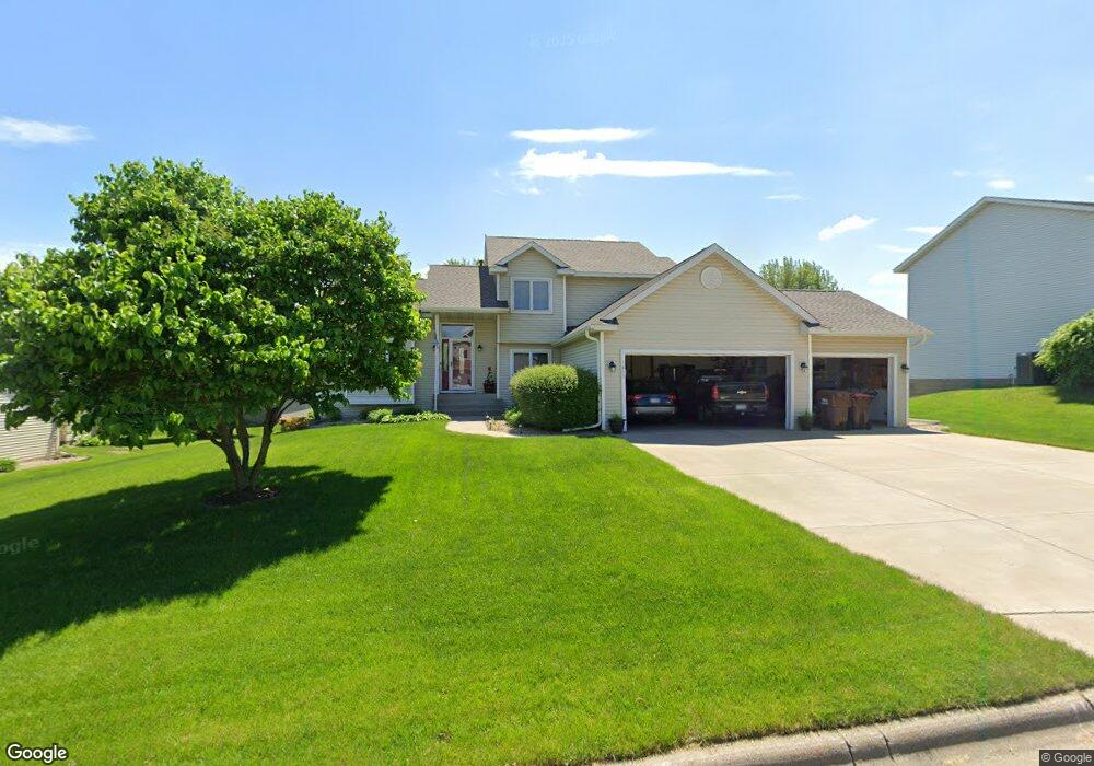
1815 14th St W Hastings, MN 55033
Hastings-Marshan Township NeighborhoodEstimated Value: $442,340 - $520,000
4
Beds
3
Baths
1,769
Sq Ft
$271/Sq Ft
Est. Value
About This Home
This home is located at 1815 14th St W, Hastings, MN 55033 and is currently estimated at $479,335, approximately $270 per square foot. 1815 14th St W is a home located in Dakota County with nearby schools including Christa Mcauliffe Elementary School, Hastings Middle School, and Hastings High School.
Ownership History
Date
Name
Owned For
Owner Type
Purchase Details
Closed on
Jun 15, 2009
Sold by
Rupp Corey A and Rupp Stephanie N
Bought by
Plevell Louis J and Plevell Alicia H
Current Estimated Value
Purchase Details
Closed on
Mar 26, 2007
Sold by
Kent Bruce A and Kent Dawn M
Bought by
Rupp Corey and Rupp Stephanie
Purchase Details
Closed on
Aug 14, 2000
Sold by
Lawrence Builders Inc
Bought by
Kent Bruce A and Kent Dawn M
Create a Home Valuation Report for This Property
The Home Valuation Report is an in-depth analysis detailing your home's value as well as a comparison with similar homes in the area
Home Values in the Area
Average Home Value in this Area
Purchase History
| Date | Buyer | Sale Price | Title Company |
|---|---|---|---|
| Plevell Louis J | $290,000 | -- | |
| Rupp Corey | $328,000 | -- | |
| Kent Bruce A | $232,900 | -- |
Source: Public Records
Tax History Compared to Growth
Tax History
| Year | Tax Paid | Tax Assessment Tax Assessment Total Assessment is a certain percentage of the fair market value that is determined by local assessors to be the total taxable value of land and additions on the property. | Land | Improvement |
|---|---|---|---|---|
| 2024 | $4,602 | $401,800 | $92,500 | $309,300 |
| 2023 | $4,602 | $399,500 | $92,600 | $306,900 |
| 2022 | $3,782 | $384,100 | $92,400 | $291,700 |
| 2021 | $3,574 | $314,400 | $80,300 | $234,100 |
| 2020 | $3,702 | $296,700 | $72,500 | $224,200 |
| 2019 | $3,716 | $297,000 | $69,100 | $227,900 |
| 2018 | $3,682 | $284,200 | $65,800 | $218,400 |
| 2017 | $3,491 | $273,200 | $62,700 | $210,500 |
| 2016 | $3,598 | $259,500 | $58,500 | $201,000 |
| 2015 | $3,557 | $246,596 | $53,789 | $192,807 |
| 2014 | -- | $245,179 | $51,761 | $193,418 |
| 2013 | -- | $214,986 | $45,989 | $168,997 |
Source: Public Records
Map
Nearby Homes
- 1882 13th St W Unit 802
- 1478 Pringle Ct
- 1960 Rose Way
- 1967 Sierra Dr Unit 303
- 2725 General Sieben Dr
- 1767 Carleton Place
- 1500 Brittany Rd
- 1832 Ridgepointe N
- 2109 Westpointe Dr
- 2117 Westpointe Dr
- 2120 Ridge Pointe Dr
- 1817 Ridgepointe Ct
- 2157 Westpointe Dr
- 2160 Ridge Pointe Dr
- 1451 17th St W
- 2173 Westpointe Dr
- 2189 Westpointe Dr
- 1824 Fallbrooke Dr
- 1811 Fallbrooke Dr
- Alley Plan at Heritage Ridge
- 1825 14th St W
- 1805 14th St W
- 1810 Tierney Dr
- 1820 Tierney Dr
- 1800 Tierney Dr
- 1833 14th St W
- 1810 14th St W
- 1820 14th St W
- 1800 14th St W
- 1834 Tierney Dr
- 1832 14th St W
- 1749 14th Ct W
- 1845 14th St W
- 1743 14th Ct W
- 1846 Tierney Dr
- 1743 1743 14th-Court-w
- 1750 Tierney Dr
- 1844 14th St W
- 1744 14th Ct W
- 1821 13th St W