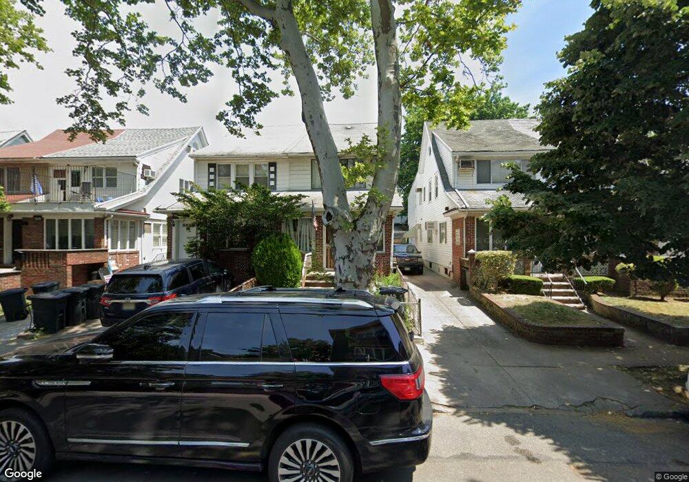
1815 51st St Brooklyn, NY 11204
Borough Park NeighborhoodEstimated Value: $1,510,000 - $2,008,000
3
Beds
1
Bath
1,250
Sq Ft
$1,433/Sq Ft
Est. Value
About This Home
This home is located at 1815 51st St, Brooklyn, NY 11204 and is currently estimated at $1,790,942, approximately $1,432 per square foot. 1815 51st St is a home located in Kings County with nearby schools including P.S./I.S. 192 Magnet School For Math And Science Inquiry, I.S. 223 The Montauk, and Franklin Delano Roosevelt High School.
Ownership History
Date
Name
Owned For
Owner Type
Purchase Details
Closed on
Jul 3, 2023
Sold by
Wilmount Bp Llc
Bought by
Kaff Mendel
Current Estimated Value
Home Financials for this Owner
Home Financials are based on the most recent Mortgage that was taken out on this home.
Original Mortgage
$1,080,000
Outstanding Balance
$1,054,236
Interest Rate
6.79%
Mortgage Type
Purchase Money Mortgage
Estimated Equity
$736,706
Purchase Details
Closed on
Aug 10, 2022
Sold by
Jhrc Trust and Rabbi M Birnhack Trustee
Bought by
Wilmount Bp Llc
Purchase Details
Closed on
Dec 27, 2012
Sold by
Moishe David As Trustee
Bought by
Jhrc Trust and Rabbi M Birnhack As Trustee
Purchase Details
Closed on
Dec 31, 2001
Sold by
David Louis and David Evelyn
Bought by
David Louis and David Evelyn
Create a Home Valuation Report for This Property
The Home Valuation Report is an in-depth analysis detailing your home's value as well as a comparison with similar homes in the area
Home Values in the Area
Average Home Value in this Area
Purchase History
| Date | Buyer | Sale Price | Title Company |
|---|---|---|---|
| Kaff Mendel | -- | -- | |
| Wilmount Bp Llc | $1,830,000 | -- | |
| Jhrc Trust | -- | -- | |
| David Louis | -- | -- |
Source: Public Records
Mortgage History
| Date | Status | Borrower | Loan Amount |
|---|---|---|---|
| Open | Kaff Mendel | $1,080,000 |
Source: Public Records
Tax History Compared to Growth
Tax History
| Year | Tax Paid | Tax Assessment Tax Assessment Total Assessment is a certain percentage of the fair market value that is determined by local assessors to be the total taxable value of land and additions on the property. | Land | Improvement |
|---|---|---|---|---|
| 2025 | $6,217 | $85,380 | $18,660 | $66,720 |
| 2024 | $6,217 | $67,440 | $18,660 | $48,780 |
| 2023 | $5,938 | $65,340 | $18,660 | $46,680 |
| 2022 | $5,579 | $53,460 | $18,660 | $34,800 |
| 2021 | $5,610 | $54,720 | $18,660 | $36,060 |
| 2020 | $4,195 | $46,740 | $18,660 | $28,080 |
| 2019 | $5,396 | $46,740 | $18,660 | $28,080 |
| 2014 | $2,211 | $21,496 | $12,823 | $8,673 |
Source: Public Records
Map
Nearby Homes
- 1917 51st St
- 1772 55th St
- 1768 55th St
- 1026 E 2nd St
- 312 Foster Ave
- 1856 60th St
- 5401 15th Ave
- 1091 E 3rd St
- 1936 60th St
- 414 Elmwood Ave Unit 3F
- 414 Elmwood Ave Unit 4C
- 309 Avenue J
- 6109 19th Ave
- 820 Ocean Pkwy Unit 621
- 820 Ocean Pkwy Unit 417
- 515 Avenue I Unit 1J
- 842 Ocean Pkwy Unit 2B
- 842 Ocean Pkwy Unit 8A
- 800 Ocean Pkwy Unit 5N
- 800 Ocean Pkwy Unit 6E