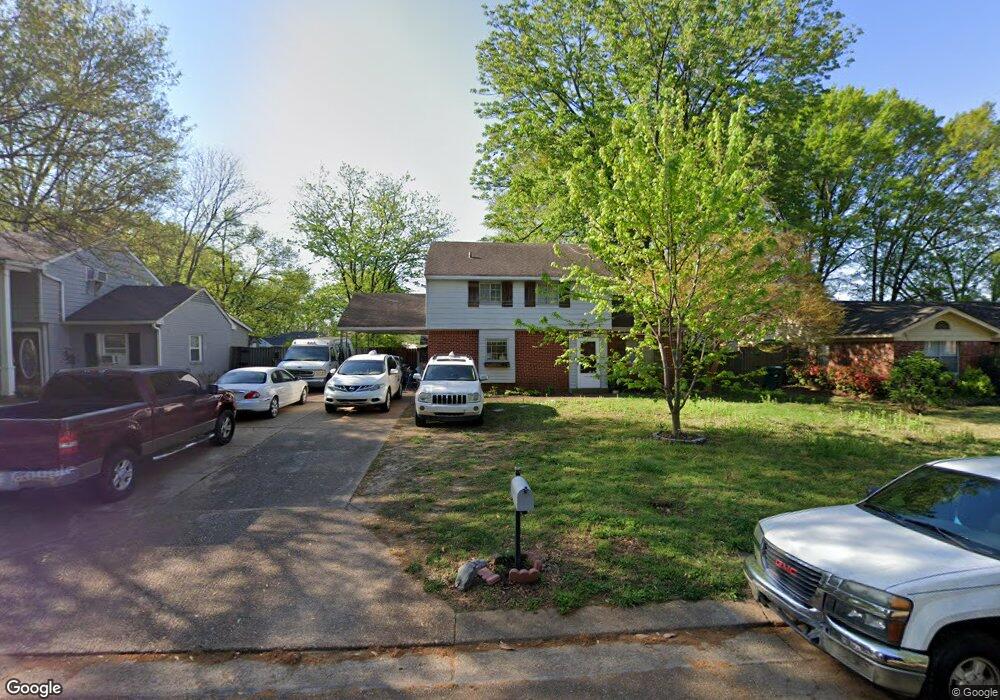
1815 Forrest Dr Southaven, MS 38671
Estimated Value: $150,000 - $179,000
4
Beds
2
Baths
744
Sq Ft
$225/Sq Ft
Est. Value
About This Home
This home is located at 1815 Forrest Dr, Southaven, MS 38671 and is currently estimated at $167,169, approximately $224 per square foot. 1815 Forrest Dr is a home located in DeSoto County with nearby schools including Southaven Elementary School, Southaven Middle School, and Southaven High School.
Ownership History
Date
Name
Owned For
Owner Type
Purchase Details
Closed on
Apr 8, 2022
Sold by
Christian Stepp
Bought by
Muddy River Properties Llc
Current Estimated Value
Purchase Details
Closed on
Jun 15, 2010
Sold by
Simpson Virginia E and Simpson Virginia Janes
Bought by
Stepp Christian G
Home Financials for this Owner
Home Financials are based on the most recent Mortgage that was taken out on this home.
Original Mortgage
$64,000
Interest Rate
4.97%
Mortgage Type
Seller Take Back
Create a Home Valuation Report for This Property
The Home Valuation Report is an in-depth analysis detailing your home's value as well as a comparison with similar homes in the area
Home Values in the Area
Average Home Value in this Area
Purchase History
| Date | Buyer | Sale Price | Title Company |
|---|---|---|---|
| Muddy River Properties Llc | -- | Memphis Title | |
| Stepp Christian G | -- | None Available |
Source: Public Records
Mortgage History
| Date | Status | Borrower | Loan Amount |
|---|---|---|---|
| Previous Owner | Stepp Christian G | $64,000 |
Source: Public Records
Tax History Compared to Growth
Tax History
| Year | Tax Paid | Tax Assessment Tax Assessment Total Assessment is a certain percentage of the fair market value that is determined by local assessors to be the total taxable value of land and additions on the property. | Land | Improvement |
|---|---|---|---|---|
| 2024 | $1,316 | $9,038 | $2,250 | $6,788 |
| 2023 | $1,316 | $9,038 | $0 | $0 |
| 2022 | $616 | $6,025 | $1,500 | $4,525 |
| 2021 | $616 | $6,025 | $1,500 | $4,525 |
| 2020 | $584 | $5,675 | $1,500 | $4,175 |
| 2019 | $584 | $5,675 | $1,500 | $4,175 |
| 2017 | $569 | $9,496 | $5,498 | $3,998 |
| 2016 | $569 | $5,498 | $1,500 | $3,998 |
| 2015 | $783 | $9,496 | $5,498 | $3,998 |
| 2014 | $569 | $5,498 | $0 | $0 |
| 2013 | $569 | $5,498 | $0 | $0 |
Source: Public Records
Map
Nearby Homes
- 1728 Forrest Dr
- 1279 Eason Ave
- 1400 Staunton Dr
- 1456 Eason Ave
- 9154 Haleville St
- 1382 Mary Jane Ave
- 1383 Ranger Dr
- 8505 Southaven Cir W
- 8493 Cedarbrush Dr
- 1502 Mary Jane Ave
- 1242 Brandywine Dr
- 1821 Tad Cove
- 1639 Kilarney Ave
- 5387 Loch Lomond Rd
- 8341 Whitehead Dr
- 5449 Millbranch Rd
- 8376 Cedarcrest Dr E
- 5245 Villa Del Rey Dr
- 1734 Brookhaven Dr
- 8699 Chesterfield Dr
- 1801 Forrest Dr
- 1827 Forrest Dr
- 1813 Vicksburg Dr
- 1787 Forrest Dr
- 1841 Forrest Dr
- 1828 Vicksburg Dr
- 1820 Forrest Dr
- 1831 Vicksburg Dr
- 1806 Forrest Dr
- 1834 Forrest Dr
- 1775 Forrest Dr
- 1794 Forrest Dr
- 7533 Southaven Cir W
- 1846 Forrest Dr
- 1780 Forrest Dr
- 1766 Forrest Cove
- 1822 Vicksburg Dr
- 1761 Forrest Dr
- 1827 Vicksburg Dr
- 1768 Forrest Dr