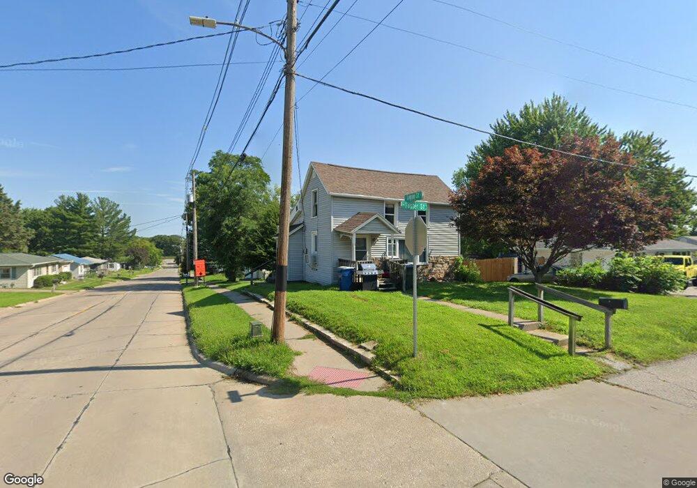
1815 Foster St Muscatine, IA 52761
Estimated Value: $93,000 - $159,000
3
Beds
1
Bath
952
Sq Ft
$130/Sq Ft
Est. Value
About This Home
This home is located at 1815 Foster St, Muscatine, IA 52761 and is currently estimated at $124,085, approximately $130 per square foot. 1815 Foster St is a home located in Muscatine County with nearby schools including McKinley Elementary School, Susan Clark Junior High School, and Muscatine High School.
Ownership History
Date
Name
Owned For
Owner Type
Purchase Details
Closed on
Apr 19, 2018
Sold by
Justus Sean D and Justus Amy T
Bought by
Bek Investments Llc
Current Estimated Value
Home Financials for this Owner
Home Financials are based on the most recent Mortgage that was taken out on this home.
Original Mortgage
$400,000
Interest Rate
4.4%
Mortgage Type
Future Advance Clause Open End Mortgage
Purchase Details
Closed on
Oct 7, 2011
Sold by
Beechum Margaret Louise
Bought by
Justus Sean D and Justus Amy T
Home Financials for this Owner
Home Financials are based on the most recent Mortgage that was taken out on this home.
Original Mortgage
$64,500
Interest Rate
4.23%
Mortgage Type
Future Advance Clause Open End Mortgage
Create a Home Valuation Report for This Property
The Home Valuation Report is an in-depth analysis detailing your home's value as well as a comparison with similar homes in the area
Home Values in the Area
Average Home Value in this Area
Purchase History
| Date | Buyer | Sale Price | Title Company |
|---|---|---|---|
| Bek Investments Llc | $49,000 | None Available | |
| Justus Sean D | $40,500 | None Available |
Source: Public Records
Mortgage History
| Date | Status | Borrower | Loan Amount |
|---|---|---|---|
| Closed | Bek Investments Llc | $400,000 | |
| Previous Owner | Justus Sean D | $64,500 |
Source: Public Records
Tax History Compared to Growth
Tax History
| Year | Tax Paid | Tax Assessment Tax Assessment Total Assessment is a certain percentage of the fair market value that is determined by local assessors to be the total taxable value of land and additions on the property. | Land | Improvement |
|---|---|---|---|---|
| 2025 | $1,214 | $67,070 | $13,630 | $53,440 |
| 2024 | $1,214 | $67,000 | $13,630 | $53,370 |
| 2023 | $1,166 | $66,950 | $13,600 | $53,350 |
| 2022 | $1,114 | $58,640 | $12,830 | $45,810 |
| 2021 | $1,114 | $54,590 | $12,830 | $41,760 |
| 2020 | $1,098 | $52,270 | $12,830 | $39,440 |
| 2019 | $1,082 | $48,990 | $0 | $0 |
| 2018 | $1,068 | $48,990 | $0 | $0 |
| 2017 | $1,106 | $48,990 | $0 | $0 |
| 2016 | $1,108 | $48,990 | $0 | $0 |
| 2015 | $1,108 | $47,350 | $0 | $0 |
| 2014 | $1,078 | $47,350 | $0 | $0 |
Source: Public Records
Map
Nearby Homes
- 241 Dillaway St
- PARCEL ID 0834280023 Dillaway St
- 602 W Fulliam Ave
- 1506 Buell St
- 2109 Americana Ave
- 1619 Devitt Ave
- 518 Roscoe Ave
- 1617 W Acre Dr
- 310 Wood Creek Ln
- 297 Burnside Ave
- 35 Colony Dr
- 2106 Clarabek St
- 2108 Clarabek St
- 2018 W Bay Dr
- 1143 Logan St
- 1807 Mulberry Ave
- 2207 Lucas St
- 836 Newell Ave
- CEDAR Plaza Parcel
- 0 High Street Parcel