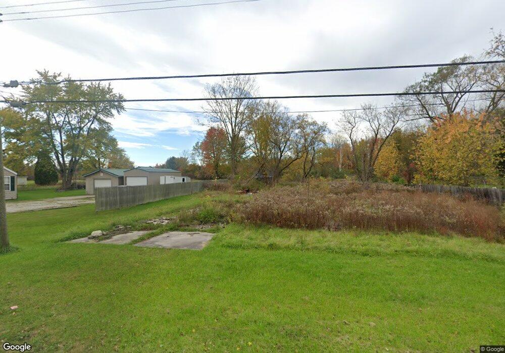
1815 Omar Rd Kimball, MI 48074
Estimated Value: $79,558 - $188,000
2
Beds
1
Bath
528
Sq Ft
$222/Sq Ft
Est. Value
About This Home
This home is located at 1815 Omar Rd, Kimball, MI 48074 and is currently estimated at $117,390, approximately $222 per square foot. 1815 Omar Rd is a home located in St. Clair County with nearby schools including Kimball Elementary School, Central Middle School, and Port Huron High School.
Ownership History
Date
Name
Owned For
Owner Type
Purchase Details
Closed on
Oct 22, 2024
Sold by
Sweet Kandace
Bought by
Davis Anthony
Current Estimated Value
Purchase Details
Closed on
Oct 3, 2011
Sold by
Saint Clair County Treasurer
Bought by
Sweet Kandace
Purchase Details
Closed on
Apr 2, 2010
Sold by
Stonecrest Income & Opportunity Fund I L
Bought by
Ross Harris Investments Llc
Purchase Details
Closed on
Nov 17, 2009
Sold by
Blue Spruce Entities Llc
Bought by
Stonecrest Income & Opportunity Fund I L
Purchase Details
Closed on
Mar 12, 2009
Sold by
Harbart Ronald and Harbart Crystal
Bought by
Nationstar Mortgage Llc
Create a Home Valuation Report for This Property
The Home Valuation Report is an in-depth analysis detailing your home's value as well as a comparison with similar homes in the area
Home Values in the Area
Average Home Value in this Area
Purchase History
| Date | Buyer | Sale Price | Title Company |
|---|---|---|---|
| Davis Anthony | -- | None Listed On Document | |
| Sweet Kandace | $6,800 | None Available | |
| Ross Harris Investments Llc | $1,000 | None Available | |
| Stonecrest Income & Opportunity Fund I L | $3,750 | None Available | |
| Blue Spruce Entities Llc | -- | None Available | |
| Nationstar Mortgage Llc | $66,237 | None Available |
Source: Public Records
Tax History Compared to Growth
Tax History
| Year | Tax Paid | Tax Assessment Tax Assessment Total Assessment is a certain percentage of the fair market value that is determined by local assessors to be the total taxable value of land and additions on the property. | Land | Improvement |
|---|---|---|---|---|
| 2025 | $458 | $10,800 | $0 | $0 |
| 2024 | $266 | $10,900 | $0 | $0 |
| 2023 | $249 | $10,800 | $0 | $0 |
| 2022 | $416 | $8,500 | $0 | $0 |
| 2021 | $421 | $8,400 | $0 | $0 |
| 2020 | $421 | $7,400 | $7,400 | $0 |
| 2019 | $418 | $6,800 | $0 | $0 |
| 2018 | $611 | $11,700 | $0 | $0 |
| 2017 | $603 | $14,000 | $0 | $0 |
| 2016 | $428 | $14,000 | $0 | $0 |
| 2015 | -- | $17,100 | $17,100 | $0 |
| 2014 | -- | $16,200 | $16,200 | $0 |
| 2013 | -- | $18,900 | $0 | $0 |
Source: Public Records
Map
Nearby Homes
- 1830 Leland Rd
- V/L Allen
- 1701 Allen Rd
- 1979 Allen Rd
- 1604 Allen Rd
- 4632 Cloverdale Ln
- 4595 Griswold Rd
- 1405 Range Rd
- 00 Howard Rd
- 00 Range Rd
- 0000 Range Rd
- 0 Allen Rd Unit 20250008597
- 0 Allen Rd Unit 20250008612
- 5510 Griswold Rd
- 1091 Allen Rd
- 0 Wall Rd Unit 50185999
- 1876 Morningstar Ave
- 0 Lapeer Rd Unit 50137357
- 0 Ravenswood Rd Unit 20251017048
- 0000 Ravenswood Rd