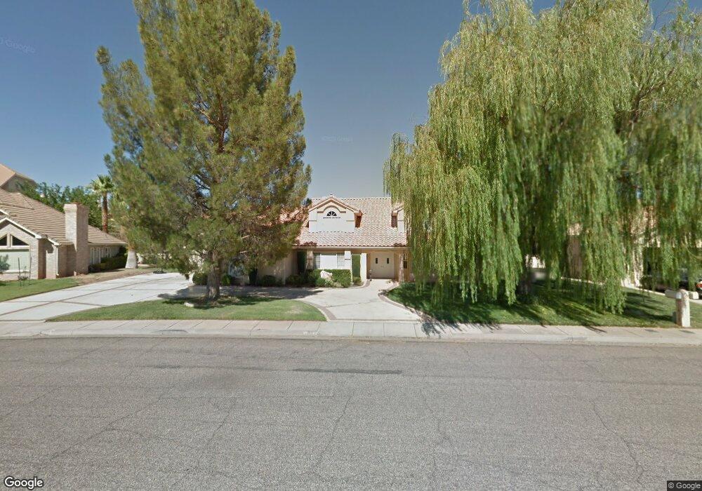
1815 Point Dr St. George, UT 84790
Estimated Value: $650,000 - $673,285
4
Beds
3
Baths
3,512
Sq Ft
$189/Sq Ft
Est. Value
About This Home
This home is located at 1815 Point Dr, St. George, UT 84790 and is currently estimated at $663,571, approximately $188 per square foot. 1815 Point Dr is a home located in Washington County with nearby schools including Bloomington Hills Elementary School, Sunrise Ridge Intermediate School, and Desert Hills Middle School.
Ownership History
Date
Name
Owned For
Owner Type
Purchase Details
Closed on
Nov 6, 2023
Sold by
Maxwell Mark Carl and Maxwell Jenny
Bought by
Kabir Mary Ann and Khalid Ahmad
Current Estimated Value
Home Financials for this Owner
Home Financials are based on the most recent Mortgage that was taken out on this home.
Original Mortgage
$679,297
Outstanding Balance
$666,726
Interest Rate
7.19%
Mortgage Type
VA
Estimated Equity
-$3,155
Purchase Details
Closed on
Apr 28, 2011
Sold by
Clouse Helen L
Bought by
Maxwell Mark Carl and Maxwell Jenny
Home Financials for this Owner
Home Financials are based on the most recent Mortgage that was taken out on this home.
Original Mortgage
$200,000
Interest Rate
4.72%
Mortgage Type
Purchase Money Mortgage
Create a Home Valuation Report for This Property
The Home Valuation Report is an in-depth analysis detailing your home's value as well as a comparison with similar homes in the area
Purchase History
| Date | Buyer | Sale Price | Title Company |
|---|---|---|---|
| Kabir Mary Ann | -- | Eagle Gate Title Insurance Agc | |
| Maxwell Mark Carl | -- | Southern Utah Title |
Source: Public Records
Mortgage History
| Date | Status | Borrower | Loan Amount |
|---|---|---|---|
| Open | Kabir Mary Ann | $679,297 | |
| Previous Owner | Maxwell Mark Carl | $200,000 |
Source: Public Records
Tax History
| Year | Tax Paid | Tax Assessment Tax Assessment Total Assessment is a certain percentage of the fair market value that is determined by local assessors to be the total taxable value of land and additions on the property. | Land | Improvement |
|---|---|---|---|---|
| 2025 | $4,065 | $609,700 | $150,000 | $459,700 |
| 2023 | $2,213 | $330,715 | $71,500 | $259,215 |
| 2022 | $2,380 | $347,545 | $60,500 | $287,045 |
| 2021 | $2,040 | $427,400 | $100,000 | $327,400 |
| 2020 | $1,917 | $378,400 | $95,000 | $283,400 |
| 2019 | $1,966 | $379,000 | $95,000 | $284,000 |
| 2018 | $1,914 | $185,020 | $0 | $0 |
| 2017 | $1,685 | $162,855 | $0 | $0 |
| 2016 | $1,786 | $159,665 | $0 | $0 |
| 2015 | $1,755 | $150,480 | $0 | $0 |
| 2014 | $1,697 | $146,465 | $0 | $0 |
Source: Public Records
Map
Nearby Homes
- 1790 S River Rd
- 1919 S Point Dr
- 1787 S Point Dr
- 1171 Hubbard Place
- 1040 E Fort Pierce Dr N
- 1766 S 1570 E
- 2045 S 1400 E Unit 12
- 2045 S 1400 E Unit 13
- 1597 E Dihedral Dr
- 1606 Flat Rock Rd
- 968 Lizzie Ln
- 1879 Cassidy Cir
- 1560 E Dihedral Dr
- 2050 S 1400 E Unit K103
- 2050 S 1400 E Unit A100
- 2050 S 1400 E Unit K101
- 2050 S 1400 E Unit 3
- 2050 S 1400 E Unit 23
- 2050 S 1400 E Unit K112
- 2050 S 1400 E Unit C100
Your Personal Tour Guide
Ask me questions while you tour the home.