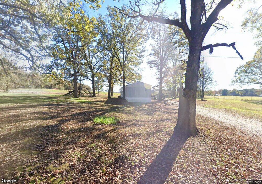
1816 Airport Rd Broken Bow, OK 74728
Estimated Value: $80,075 - $730,000
2
Beds
1
Bath
1,156
Sq Ft
$313/Sq Ft
Est. Value
About This Home
This home is located at 1816 Airport Rd, Broken Bow, OK 74728 and is currently estimated at $361,269, approximately $312 per square foot. 1816 Airport Rd is a home located in McCurtain County with nearby schools including Lukfata Public School.
Ownership History
Date
Name
Owned For
Owner Type
Purchase Details
Closed on
Mar 19, 2015
Sold by
Wilingham Russell and Wilingham Dana
Bought by
Willingham Michael Brian and Willingham Magan Marie
Current Estimated Value
Home Financials for this Owner
Home Financials are based on the most recent Mortgage that was taken out on this home.
Original Mortgage
$300,000
Outstanding Balance
$256,179
Interest Rate
3.5%
Mortgage Type
USDA
Estimated Equity
$105,090
Purchase Details
Closed on
Feb 23, 1999
Sold by
Wyrick Jerry and Wyrick Connie
Bought by
Couch Gwendolyn
Create a Home Valuation Report for This Property
The Home Valuation Report is an in-depth analysis detailing your home's value as well as a comparison with similar homes in the area
Home Values in the Area
Average Home Value in this Area
Purchase History
| Date | Buyer | Sale Price | Title Company |
|---|---|---|---|
| Willingham Michael Brian | $300,000 | None Available | |
| Couch Gwendolyn | -- | -- |
Source: Public Records
Mortgage History
| Date | Status | Borrower | Loan Amount |
|---|---|---|---|
| Open | Willingham Michael Brian | $300,000 |
Source: Public Records
Tax History Compared to Growth
Tax History
| Year | Tax Paid | Tax Assessment Tax Assessment Total Assessment is a certain percentage of the fair market value that is determined by local assessors to be the total taxable value of land and additions on the property. | Land | Improvement |
|---|---|---|---|---|
| 2023 | $128 | $2,503 | $180 | $2,323 |
| 2022 | $129 | $2,503 | $180 | $2,323 |
| 2021 | $128 | $2,486 | $180 | $2,306 |
| 2020 | $123 | $2,414 | $180 | $2,234 |
| 2019 | $54 | $1,626 | $180 | $1,446 |
| 2018 | $49 | $1,578 | $180 | $1,398 |
| 2017 | $46 | $1,533 | $180 | $1,353 |
| 2016 | $42 | $1,488 | $180 | $1,308 |
| 2015 | $41 | $1,488 | $180 | $1,308 |
| 2014 | $41 | $1,488 | $180 | $1,308 |
Source: Public Records
Map
Nearby Homes
- 727 Airport Rd
- 1266 W Memorial St
- 250 McGee Chapel Rd
- 2015 Rodeo Rd
- 134 Mahogany Rd
- 147 Boulder Path
- 232 Carter Valley Ln
- 74 Babbling Brook Trail
- 233 Hackberry Flat Trail
- 316 Triton Trail
- 74 Hackberry Flat Trail
- 499 Hiddenwater Rd
- 356 Ebb Tide Rd
- 171 Western Pine Trail
- 366 Timbuktu Trail
- 453 Bear Pine Trail
- 27 Pleasant Cypress Trail
- 198 Bear Cedar Trail
- 42 Lund Ln
- 62 Locust Grove Trail
- 183 Oleander Rd
- 1863 Airport Rd
- 1718 Airport Rd
- 964 Old Broken Bow Hwy
- 919 Old Broken Bow Hwy
- 941 Old Broken Bow Hwy
- 1602 Airport Rd
- 1392 Lukfata Church Rd
- 1075 Old Bb Hwy
- 66 Oleander Rd
- 1523 Lukfata Church Rd
- 855 Old Broken Bow Hwy
- 1565 Lukfata Church Rd
- 1324 Lukfata Church Rd
- 329 Glover School Rd
- 2309 Pine View Rd Unit B
- 7417 W State Highway 3
- 307 Glover School Rd
- 105 Garden Rd
- 359 Holly Branch Ln