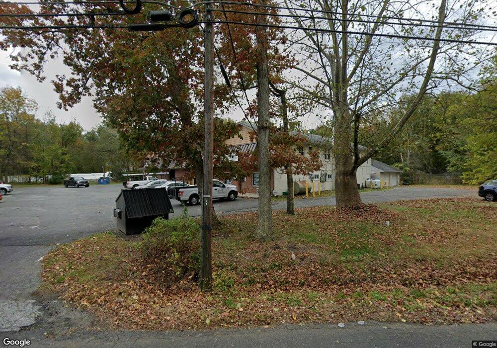
1816 Route 70 Southampton, NJ 08088
Estimated Value: $728,735
2
Beds
2
Baths
2,000
Sq Ft
$364/Sq Ft
Est. Value
About This Home
This home is located at 1816 Route 70, Southampton, NJ 08088 and is currently estimated at $728,735, approximately $364 per square foot. 1816 Route 70 is a home located in Burlington County with nearby schools including Southampton Twp School No 1, Southampton Twp School No 2, and Southampton Twp School No 3.
Ownership History
Date
Name
Owned For
Owner Type
Purchase Details
Closed on
Jan 6, 2005
Sold by
Wolfe Family Lp
Bought by
1816 Associates Llc
Current Estimated Value
Home Financials for this Owner
Home Financials are based on the most recent Mortgage that was taken out on this home.
Original Mortgage
$360,000
Interest Rate
6.33%
Mortgage Type
Commercial
Purchase Details
Closed on
Oct 6, 2003
Sold by
Koenig David H and Hurley Stephen J
Bought by
Wolfe Family Lp
Home Financials for this Owner
Home Financials are based on the most recent Mortgage that was taken out on this home.
Original Mortgage
$325,000
Interest Rate
6.15%
Mortgage Type
Credit Line Revolving
Create a Home Valuation Report for This Property
The Home Valuation Report is an in-depth analysis detailing your home's value as well as a comparison with similar homes in the area
Home Values in the Area
Average Home Value in this Area
Purchase History
| Date | Buyer | Sale Price | Title Company |
|---|---|---|---|
| 1816 Associates Llc | $450,000 | Infinity Title Agency Inc | |
| Wolfe Family Lp | $425,000 | The Title Company Of Jersey |
Source: Public Records
Mortgage History
| Date | Status | Borrower | Loan Amount |
|---|---|---|---|
| Previous Owner | 1816 Associates Llc | $360,000 | |
| Previous Owner | Wolfe Family Lp | $325,000 |
Source: Public Records
Tax History Compared to Growth
Tax History
| Year | Tax Paid | Tax Assessment Tax Assessment Total Assessment is a certain percentage of the fair market value that is determined by local assessors to be the total taxable value of land and additions on the property. | Land | Improvement |
|---|---|---|---|---|
| 2025 | $11,599 | $351,600 | $145,000 | $206,600 |
| 2024 | $11,170 | $351,600 | $145,000 | $206,600 |
| 2023 | $11,170 | $351,600 | $145,000 | $206,600 |
| 2022 | $10,777 | $351,600 | $145,000 | $206,600 |
| 2021 | $10,541 | $351,600 | $145,000 | $206,600 |
| 2020 | $10,309 | $351,600 | $145,000 | $206,600 |
| 2019 | $10,087 | $351,600 | $145,000 | $206,600 |
| 2018 | $9,852 | $351,600 | $145,000 | $206,600 |
| 2017 | $9,887 | $351,600 | $145,000 | $206,600 |
| 2016 | $9,676 | $351,600 | $145,000 | $206,600 |
| 2015 | $9,370 | $351,600 | $145,000 | $206,600 |
| 2014 | $9,040 | $351,600 | $145,000 | $206,600 |
Source: Public Records
Map
Nearby Homes
- 0 Beaver Dam Rd & Red Lion Rd Rd
- 1666 Route 206
- 5 Hamilton Ct
- 32 Constitution Dr
- 204 New Freedom Rd
- 2 Franklin Ct
- 7 Anne Dr
- 16 Woodside Dr
- 1623 Route 70
- 0 Stevenson Unit NJBL2087948
- 43 Woodside Dr
- 66 Westminster Dr S
- 9 Dutchess Ct
- 48 Dunstable Rd
- 5 Dutchess Ct
- 57 Summit Dr
- 36 Cotherstone Dr
- 19 Dunstable Rd
- 25 Dunstable Rd
- 29 Dunstable Rd
- 1818 Route 70
- 2 Old Red Lion Rd
- 6 Old Red Lion Rd
- 38 Allentown Rd
- 5 Old Red Lion Rd
- 34 Allentown Rd
- 1824 Route 70
- 7 Old Red Lion Rd
- 7 Red Lion Rd
- 39 Allentown Rd
- 44 Allentown Rd
- 35 Allentown Rd
- 33 Allentown Rd
- 43 Allentown Rd
- 10 Old Red Lion Rd
- 46 Allentown Rd
- 27 Allentown Rd
- 9 Red Lion Rd
- 45 Allentown Rd
- 14 Old Red Lion Rd