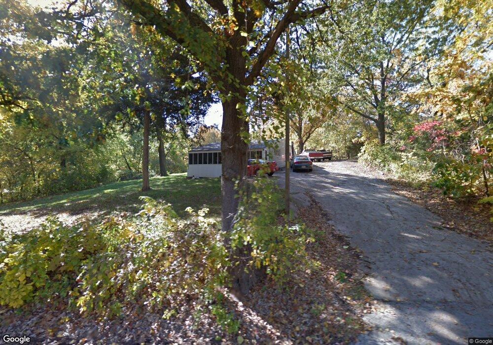
1816 S 86th St Kansas City, KS 66111
Muncie NeighborhoodEstimated Value: $196,813 - $250,000
2
Beds
1
Bath
960
Sq Ft
$230/Sq Ft
Est. Value
About This Home
This home is located at 1816 S 86th St, Kansas City, KS 66111 and is currently estimated at $221,203, approximately $230 per square foot. 1816 S 86th St is a home located in Wyandotte County with nearby schools including Robert E Clark Middle School and Bonner Springs High School.
Ownership History
Date
Name
Owned For
Owner Type
Purchase Details
Closed on
Jun 19, 2024
Sold by
Underwood Kristina Dawn and Underwood Kristina
Bought by
Bashus Mark L and Bashus Laura L
Current Estimated Value
Purchase Details
Closed on
Nov 25, 2017
Sold by
Underwood Earl Calvin and Underwood Earl C
Bought by
Underwood Earl Calvin and Underwood Kathi L
Home Financials for this Owner
Home Financials are based on the most recent Mortgage that was taken out on this home.
Original Mortgage
$40,501
Interest Rate
3.94%
Mortgage Type
New Conventional
Create a Home Valuation Report for This Property
The Home Valuation Report is an in-depth analysis detailing your home's value as well as a comparison with similar homes in the area
Home Values in the Area
Average Home Value in this Area
Purchase History
| Date | Buyer | Sale Price | Title Company |
|---|---|---|---|
| Bashus Mark L | -- | Security 1St Title | |
| Underwood Earl Calvin | -- | None Available |
Source: Public Records
Mortgage History
| Date | Status | Borrower | Loan Amount |
|---|---|---|---|
| Previous Owner | Underwood Earl Calvin | $40,501 |
Source: Public Records
Tax History Compared to Growth
Tax History
| Year | Tax Paid | Tax Assessment Tax Assessment Total Assessment is a certain percentage of the fair market value that is determined by local assessors to be the total taxable value of land and additions on the property. | Land | Improvement |
|---|---|---|---|---|
| 2024 | $2,602 | $18,366 | $7,068 | $11,298 |
| 2023 | $2,112 | $13,604 | $4,410 | $9,194 |
| 2022 | $1,548 | $10,062 | $3,228 | $6,834 |
| 2021 | $1,625 | $9,832 | $2,930 | $6,902 |
| 2020 | $1,536 | $9,105 | $2,887 | $6,218 |
| 2019 | $1,473 | $8,671 | $3,004 | $5,667 |
| 2018 | $1,379 | $8,246 | $3,071 | $5,175 |
| 2017 | $1,165 | $6,865 | $2,861 | $4,004 |
| 2016 | $1,093 | $6,389 | $2,861 | $3,528 |
| 2015 | $1,107 | $6,390 | $2,451 | $3,939 |
| 2014 | $1,140 | $6,340 | $2,451 | $3,889 |
Source: Public Records
Map
Nearby Homes
- 8315 Kansas Ave
- 1803 S 98th St
- 110 Terrace Trail St W
- 132 Lakeshore Dr W
- 10119 Steele Rd
- 7229 Hasbrook Ave
- 722 N 7th St
- 781 Highland Dr
- 824 Highland Dr
- 828 Highland Dr
- 789 Highland Dr
- 706 S 9th St
- 507 High St
- 100 S 78th St
- 100 S 78th St
- 507 Newton St
- 7710 Speaker Rd
- 98th & Metropolitan Ave
- 4940 Alden St
- 7232 Berger Ave