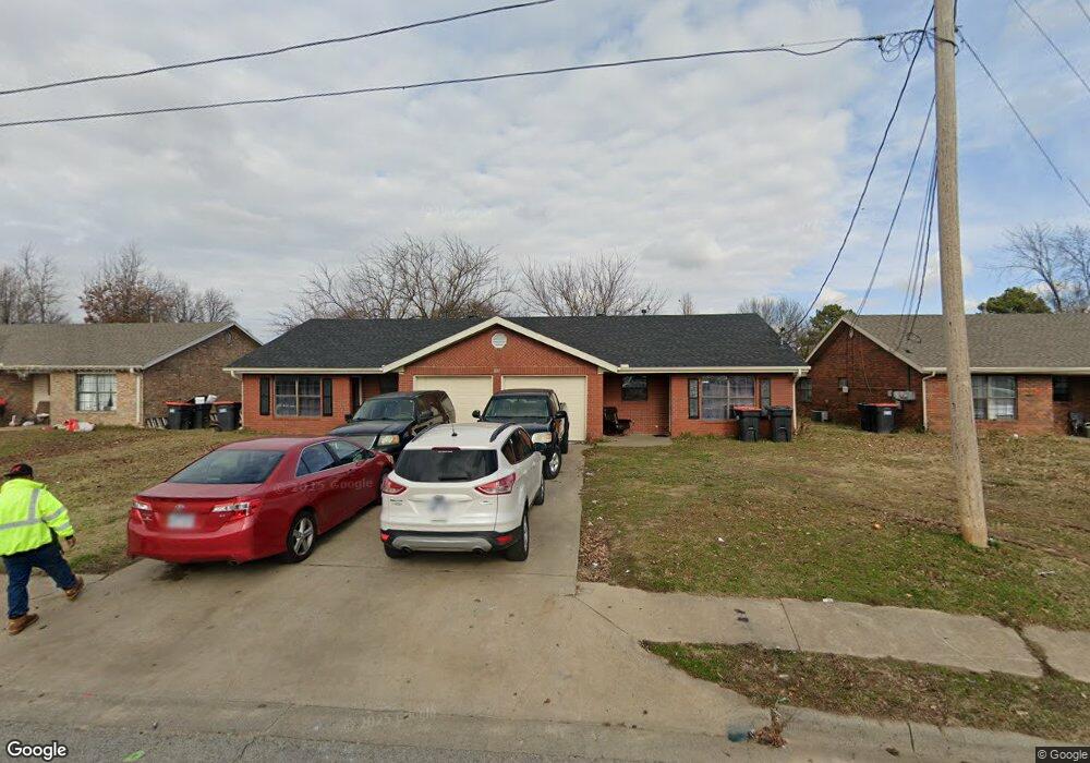
1817 Emily Circle Dr Unit A Springdale, AR 72762
Estimated Value: $269,505 - $347,000
2
Beds
1
Bath
925
Sq Ft
$339/Sq Ft
Est. Value
About This Home
This home is located at 1817 Emily Circle Dr Unit A, Springdale, AR 72762 and is currently estimated at $313,876, approximately $339 per square foot. 1817 Emily Circle Dr Unit A is a home located in Washington County with nearby schools including Westwood Elementary School, Southwest Junior High School, and Helen Tyson Middle School.
Ownership History
Date
Name
Owned For
Owner Type
Purchase Details
Closed on
May 11, 2015
Bought by
Galloway Judy L Revocable Trust
Current Estimated Value
Purchase Details
Closed on
Apr 1, 2004
Sold by
Yehling Robert A and Yehling Louise Lisa
Bought by
Israel Roger D and Israel Judith L
Home Financials for this Owner
Home Financials are based on the most recent Mortgage that was taken out on this home.
Original Mortgage
$118,000
Interest Rate
5.61%
Mortgage Type
Purchase Money Mortgage
Purchase Details
Closed on
Aug 1, 1995
Bought by
Smith Danny L and Smith Kevin G
Purchase Details
Closed on
Sep 13, 1991
Bought by
Smith Danny L
Purchase Details
Closed on
Jan 1, 1990
Bought by
Howard Stan and Mathias Sam
Purchase Details
Closed on
May 12, 1989
Bought by
Smith Kevin
Create a Home Valuation Report for This Property
The Home Valuation Report is an in-depth analysis detailing your home's value as well as a comparison with similar homes in the area
Purchase History
| Date | Buyer | Sale Price | Title Company |
|---|---|---|---|
| Galloway Judy L Revocable Trust | -- | -- | |
| Israel Roger D | $118,000 | -- | |
| Smith Danny L | -- | -- | |
| Smith Danny L | $75,000 | -- | |
| Howard Stan | -- | -- | |
| Smith Kevin | -- | -- |
Source: Public Records
Mortgage History
| Date | Status | Borrower | Loan Amount |
|---|---|---|---|
| Previous Owner | Israel Roger D | $118,000 |
Source: Public Records
Tax History
| Year | Tax Paid | Tax Assessment Tax Assessment Total Assessment is a certain percentage of the fair market value that is determined by local assessors to be the total taxable value of land and additions on the property. | Land | Improvement |
|---|---|---|---|---|
| 2025 | $1,630 | $49,910 | $14,000 | $35,910 |
| 2024 | $1,504 | $49,910 | $14,000 | $35,910 |
| 2023 | $1,406 | $49,910 | $14,000 | $35,910 |
| 2022 | $1,278 | $32,750 | $10,000 | $22,750 |
| 2021 | $1,179 | $32,750 | $10,000 | $22,750 |
| 2020 | $1,081 | $32,750 | $10,000 | $22,750 |
| 2019 | $983 | $18,650 | $5,000 | $13,650 |
| 2018 | $983 | $18,650 | $5,000 | $13,650 |
| 2017 | $974 | $18,650 | $5,000 | $13,650 |
| 2016 | $974 | $18,650 | $5,000 | $13,650 |
| 2015 | $974 | $18,650 | $5,000 | $13,650 |
| 2014 | $1,087 | $20,830 | $5,000 | $15,830 |
Source: Public Records
Map
Nearby Homes
- 614 Zachary St
- 500 W End St
- 2247 Emily Circle Dr Unit A
- 508 Geneva St
- 713 Carlton St
- 506 Dyer St
- 712 Carlton St
- 110 Rogers Circle Dr
- 126 Rogers Circle Dr
- 307 Michael St
- 1405 Dyer St
- 301 Michael St
- 1510 Circle Dr
- 1807 Westwood Ave
- 2002 Monticello Ave
- TBD W Emma (New) Ave
- 2003 Dee Ave
- 2002 Melissa Ln
- 2005 Patti Ave
- 2014 Dee Ave
- 1817 Emily Circle Dr
- 1841 Emily Circle Dr
- 1799 Emily Circle Dr
- 1607 Watson Ave
- 1609 Watson Ave
- 1605 Watson Ave
- 1774 Emily Circle Dr Unit A
- 1797 Emily Circle Dr
- 1865 Emily Circle Dr
- 1797 Emily Cir Dr Unit B
- 1615 Watson Ave
- 1781 Emily Circle Dr
- 911 Heather St Unit A
- 1603 Watson Ave
- 1750 Emily Circle Dr Unit A
- 1889 Emily Circle Dr
- 1759 Emily Circle Dr
- 1701 Watson Ave
- 614 Harve St
- 941 Heather St Unit A
Your Personal Tour Guide
Ask me questions while you tour the home.