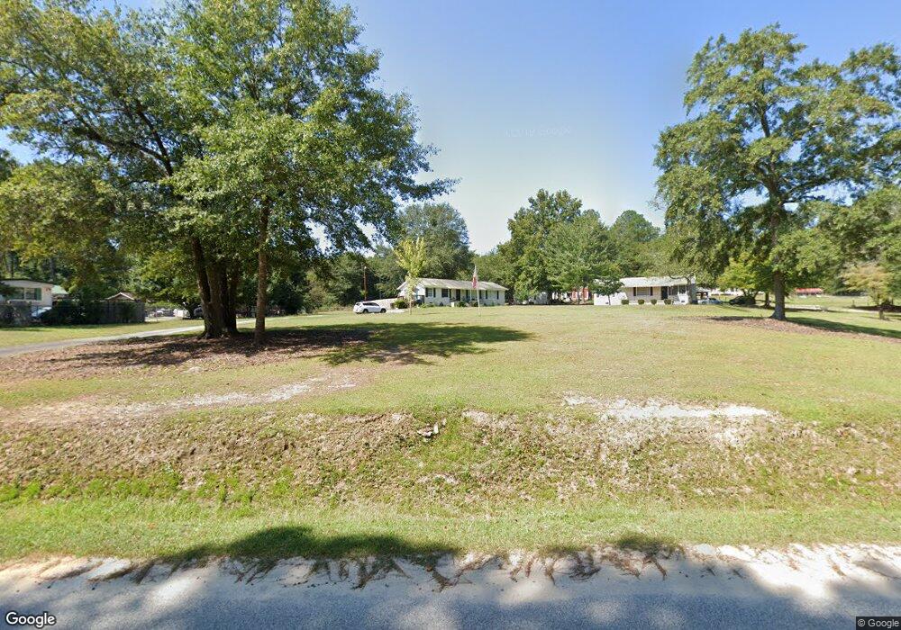
1817 Powell Rd Augusta, GA 30909
Belair NeighborhoodEstimated Value: $186,000 - $290,000
2
Beds
2
Baths
1,352
Sq Ft
$161/Sq Ft
Est. Value
About This Home
This home is located at 1817 Powell Rd, Augusta, GA 30909 and is currently estimated at $217,430, approximately $160 per square foot. 1817 Powell Rd is a home located in Richmond County with nearby schools including Johnson Magnet, Westside High School, and Greater Augusta Christian Academy.
Ownership History
Date
Name
Owned For
Owner Type
Purchase Details
Closed on
Oct 25, 2019
Sold by
Furlong E Jane
Bought by
Furlong Anthony L and Furlong E
Current Estimated Value
Home Financials for this Owner
Home Financials are based on the most recent Mortgage that was taken out on this home.
Original Mortgage
$80,000
Outstanding Balance
$69,238
Interest Rate
3.6%
Mortgage Type
New Conventional
Estimated Equity
$148,192
Purchase Details
Closed on
Jun 5, 2002
Sold by
Crosby Charles O and Crosby Charlene
Bought by
Bartos David C
Purchase Details
Closed on
Apr 15, 2002
Sold by
Crosby Charles O Estate Of
Bought by
Crosby Charles O Jr 1 and Crosby Int 9
Purchase Details
Closed on
Dec 10, 1993
Sold by
Crosby Johnnie L
Bought by
Crosby C O
Purchase Details
Closed on
May 1, 1978
Create a Home Valuation Report for This Property
The Home Valuation Report is an in-depth analysis detailing your home's value as well as a comparison with similar homes in the area
Home Values in the Area
Average Home Value in this Area
Purchase History
| Date | Buyer | Sale Price | Title Company |
|---|---|---|---|
| Furlong Anthony L | -- | -- | |
| Bartos David C | $90,000 | -- | |
| Crosby Charles O Jr 1 | -- | -- | |
| Crosby C O | $60,000 | -- | |
| -- | $58,000 | -- |
Source: Public Records
Mortgage History
| Date | Status | Borrower | Loan Amount |
|---|---|---|---|
| Open | Furlong Anthony L | $80,000 | |
| Closed | Furlong Anthony L | $78,980 |
Source: Public Records
Tax History
| Year | Tax Paid | Tax Assessment Tax Assessment Total Assessment is a certain percentage of the fair market value that is determined by local assessors to be the total taxable value of land and additions on the property. | Land | Improvement |
|---|---|---|---|---|
| 2025 | $859 | $58,992 | $1,190 | $57,802 |
| 2024 | $859 | $53,388 | $1,190 | $52,198 |
| 2023 | $511 | $45,084 | $1,190 | $43,894 |
| 2022 | $1,079 | $27,423 | $1,190 | $26,233 |
| 2021 | $1,107 | $25,922 | $1,075 | $24,847 |
| 2020 | $1,092 | $25,922 | $1,075 | $24,847 |
| 2019 | $1,149 | $25,922 | $1,075 | $24,847 |
| 2018 | $1,156 | $25,922 | $1,075 | $24,847 |
| 2017 | $1,151 | $25,922 | $1,075 | $24,847 |
| 2016 | $1,152 | $25,922 | $1,075 | $24,847 |
| 2015 | $1,159 | $25,922 | $1,075 | $24,847 |
| 2014 | $1,160 | $25,922 | $1,075 | $24,847 |
Source: Public Records
Map
Nearby Homes
- 3194 Waverly Ln
- 3201 Waverly Ln
- 2083 Willhaven Dr
- 2082 Willhaven Dr
- 2767 Huntcliffe Dr
- 2771 Huntcliffe Dr
- 234 Ducal St
- 4128 Powell Mill Rd
- 3950 Barrett St
- 2912 Wellington St
- 1609 Orange Ave
- 2789 Huntcliffe Dr
- 3018, 3020 Carswell Dr
- 3920 Carolyn St
- 3908 Carolyn St
- 6035 Clifford St
- 1001 Hay Meadow Dr
- 997 Hay Meadow Dr
- 7026 Summerton Dr
- 7025 Summerton Dr
Your Personal Tour Guide
Ask me questions while you tour the home.