Estimated Value: $274,000 - $279,000
4
Beds
2
Baths
1,146
Sq Ft
$241/Sq Ft
Est. Value
About This Home
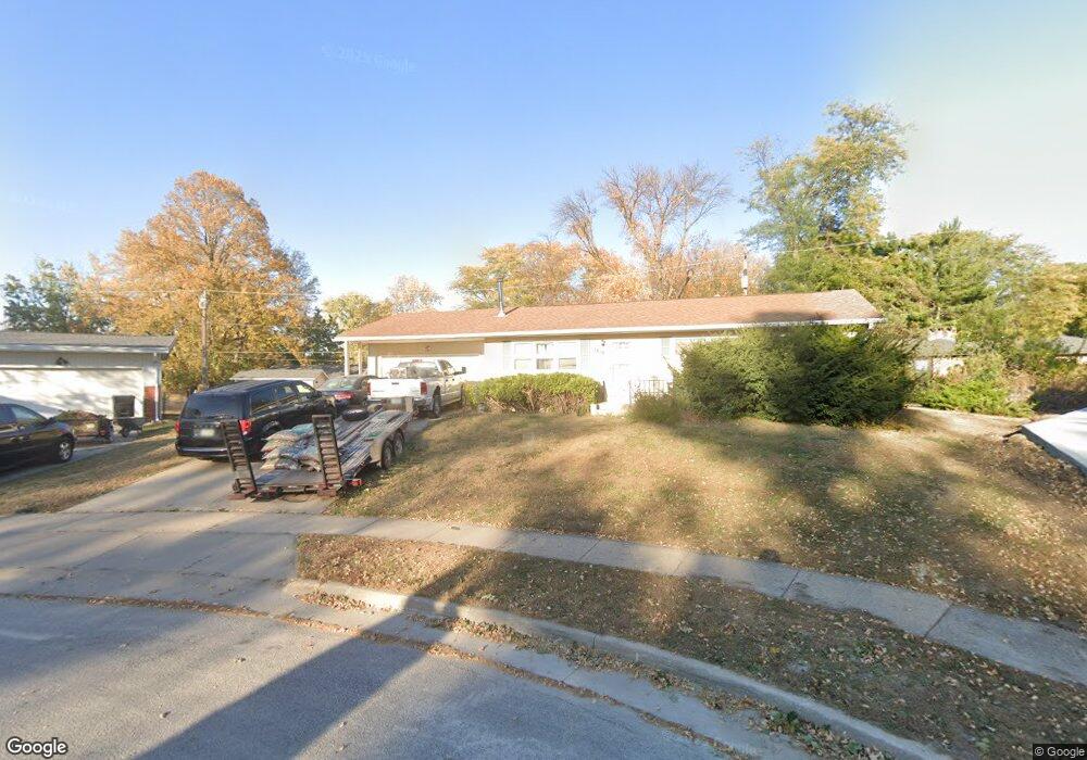
This home is located at 1818 Arthur Cir, Ames, IA 50010 and is currently estimated at $276,651, approximately $241 per square foot. 1818 Arthur Cir is a home with nearby schools including Fellows Elementary School, Ames Middle School, and Ames High School.
Ownership History
Date
Name
Owned For
Owner Type
Purchase Details
Closed on
Oct 1, 2018
Sold by
Ames Residential Props
Bought by
Ohman Jeffrey E and Ohman Pearl F
Current Estimated Value
Purchase Details
Closed on
Jan 14, 2008
Sold by
Ames Residential Properties Llc
Bought by
Ames Residential Properties Llc Series 1
Purchase Details
Closed on
Jan 4, 2008
Sold by
Ohman Daniel Eric and Ohman Beverly Ruth
Bought by
Ames Residential Properties Llc
Create a Home Valuation Report for This Property
The Home Valuation Report is an in-depth analysis detailing your home's value as well as a comparison with similar homes in the area
Home Values in the Area
Average Home Value in this Area
Purchase History
| Date | Buyer | Sale Price | Title Company |
|---|---|---|---|
| Ohman Jeffrey E | $185,000 | -- | |
| Ames Residential Properties Llc Series 1 | -- | None Available | |
| Ames Residential Properties Llc | -- | None Available |
Source: Public Records
Tax History Compared to Growth
Tax History
| Year | Tax Paid | Tax Assessment Tax Assessment Total Assessment is a certain percentage of the fair market value that is determined by local assessors to be the total taxable value of land and additions on the property. | Land | Improvement |
|---|---|---|---|---|
| 2025 | $3,400 | $271,100 | $53,800 | $217,300 |
| 2024 | $3,328 | $234,400 | $45,500 | $188,900 |
| 2023 | $3,060 | $234,400 | $45,500 | $188,900 |
| 2022 | $3,022 | $181,900 | $45,500 | $136,400 |
| 2021 | $3,152 | $181,900 | $45,500 | $136,400 |
| 2020 | $3,108 | $179,200 | $44,800 | $134,400 |
| 2019 | $3,108 | $179,200 | $44,800 | $134,400 |
| 2018 | $3,130 | $179,200 | $44,800 | $134,400 |
| 2017 | $3,130 | $179,200 | $44,800 | $134,400 |
| 2016 | $2,734 | $155,200 | $39,200 | $116,000 |
| 2015 | $2,734 | $155,200 | $39,200 | $116,000 |
| 2014 | $2,606 | $145,000 | $36,600 | $108,400 |
Source: Public Records
Map
Nearby Homes
- 1310 20th St
- 1516 Ridgewood Ave
- 2112 Furman Dr
- 1214 Northwestern Ave
- 1201 Orchard Dr
- 1202 Curtiss Ave
- 1636 Johnson St
- 1104 Wilson Ave
- 2516 Somerset Dr
- 1457 Breckinridge Ct
- 1720 Douglas Ave
- 1202 Burnett Ave
- 1618 Douglas Ave
- 1003 Clark Ave
- 811 Grand Ave
- 628 Brookridge Ave
- 2511 Bristol Dr Unit 204
- 715 Grand Ave
- 814 Wilson Ave
- 2003 Polk Dr
- 1814 Arthur Cir
- 1824 Arthur Cir
- 1829 Bel Air Dr
- 1819 Bel Air Dr
- 1905 Bel Air Dr
- 1811 Bel Air Dr
- 1915 Bel Air Dr
- 1317 Arthur Dr
- 1311 Arthur Dr
- 1813 Arthur Cir
- 1803 Bel Air Dr
- 1923 Bel Air Dr
- 1405 Arthur Dr
- 1822 Bel Air Dr
- 1931 Bel Air Dr
- 1415 Arthur Dr
- 1816 Bel Air Dr
- 1902 Bel Air Cir
- 1431 Arthur Dr
- 1421 Arthur Dr