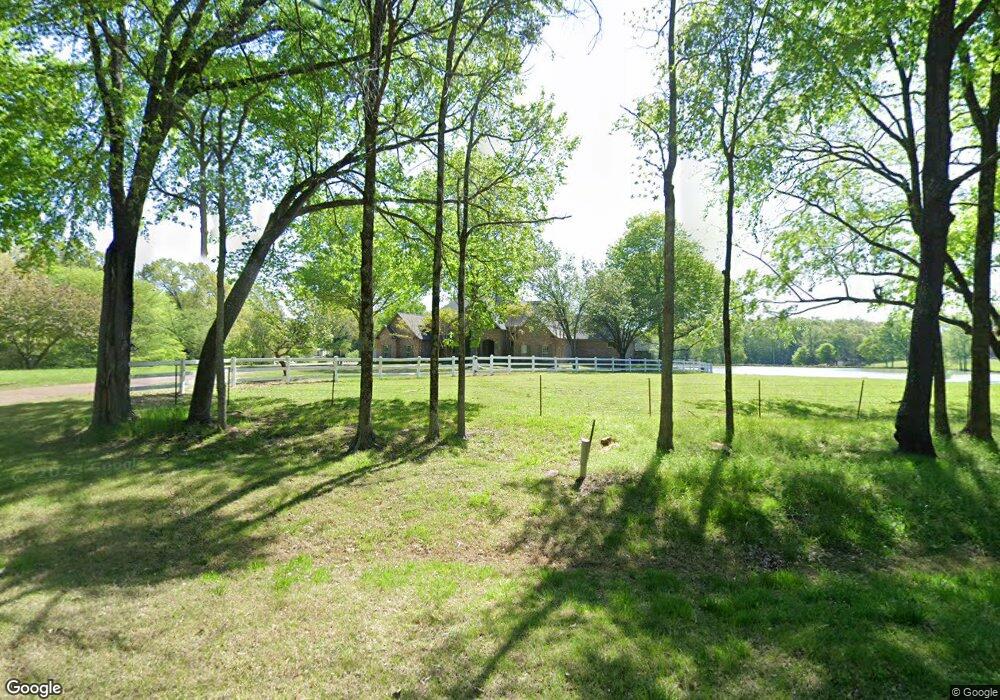
1818 Latting Ln Cordova, TN 38016
Gray's Creek NeighborhoodEstimated Value: $456,000 - $888,241
3
Beds
4
Baths
4,330
Sq Ft
$156/Sq Ft
Est. Value
About This Home
This home is located at 1818 Latting Ln, Cordova, TN 38016 and is currently estimated at $676,080, approximately $156 per square foot. 1818 Latting Ln is a home located in Shelby County with nearby schools including Macon-Hall Elementary School, Mt. Pisgah Middle School, and Bolton High School.
Ownership History
Date
Name
Owned For
Owner Type
Purchase Details
Closed on
Nov 20, 2006
Sold by
Stack Larry E
Bought by
Fair Rosemarie
Current Estimated Value
Home Financials for this Owner
Home Financials are based on the most recent Mortgage that was taken out on this home.
Original Mortgage
$417,000
Outstanding Balance
$248,319
Interest Rate
6.33%
Mortgage Type
Purchase Money Mortgage
Estimated Equity
$427,761
Create a Home Valuation Report for This Property
The Home Valuation Report is an in-depth analysis detailing your home's value as well as a comparison with similar homes in the area
Home Values in the Area
Average Home Value in this Area
Purchase History
| Date | Buyer | Sale Price | Title Company |
|---|---|---|---|
| Fair Rosemarie | -- | None Available |
Source: Public Records
Mortgage History
| Date | Status | Borrower | Loan Amount |
|---|---|---|---|
| Open | Fair Rosemarie | $417,000 |
Source: Public Records
Tax History Compared to Growth
Tax History
| Year | Tax Paid | Tax Assessment Tax Assessment Total Assessment is a certain percentage of the fair market value that is determined by local assessors to be the total taxable value of land and additions on the property. | Land | Improvement |
|---|---|---|---|---|
| 2025 | $6,650 | $236,975 | $97,500 | $139,475 |
| 2024 | $6,650 | $196,175 | $97,500 | $98,675 |
| 2023 | $6,650 | $196,175 | $97,500 | $98,675 |
| 2022 | $6,650 | $196,175 | $97,500 | $98,675 |
| 2021 | $6,768 | $196,175 | $97,500 | $98,675 |
| 2020 | $6,970 | $172,100 | $53,350 | $118,750 |
| 2019 | $6,970 | $172,100 | $53,350 | $118,750 |
| 2018 | $6,970 | $172,100 | $53,350 | $118,750 |
| 2017 | $7,073 | $172,100 | $87,950 | $84,150 |
| 2016 | $6,401 | $146,475 | $0 | $0 |
| 2014 | $6,401 | $162,750 | $0 | $0 |
Source: Public Records
Map
Nearby Homes
- 10454 Latting Rd
- 10879 Latting Rd
- 1663 N Pisgah Rd
- 10481 Mabry Mill Rd
- 1636 Stable Run Dr
- 1698 Pisgah Rd
- 11074 Silsbe Ln
- 11111 Latting Rd
- 10423 Redmond Dr
- 1649 Brimhill Ln
- 1480 Pemberton Ln
- 1419 Sawmill Creek Ln
- 10133 Lynham Dr
- 11241 Latting Rd
- 10098 Sutton Ridge Ln
- 2330 Windcliff Dr
- 10021 Branley Oak Dr
- 11007 Fourwinds Dr
- 1830 Speyburn Cove
- 9960 Oban Dr
- 10733 Latting Rd
- 1850 Latting Ln
- 1890 Latting Valley Rd
- 1845 Latting Ln
- 1845 Latting Ln
- 10576 Ashley Nicole Cove
- 1890 Latting Ln
- 1800 Latting Ln
- 1765 Latting Ln
- 10550 Ashley Nicole Cove
- 000 Jared Michael Cove
- 0 Jared Michael Cove Unit 10000441
- 1887 Latting Ln
- 10563 Jared Michael Ln
- 1730 Latting Ln
- 1880 Latting Ln
- 10710 Latting Rd
- 10700 Latting Rd
- 10564 Jared Michael Ln
- 10525 Ashley Nicole Cove