18187 I Dr Tulare, CA 93274
Estimated Value: $320,000
--
Bed
--
Bath
2,469
Sq Ft
$130/Sq Ft
Est. Value
About This Home
This home is located at 18187 I Dr, Tulare, CA 93274 and is currently priced at $320,000, approximately $129 per square foot. 18187 I Dr is a home located in Tulare County with nearby schools including Palo Verde Elementary School and Tulare Union High School.
Ownership History
Date
Name
Owned For
Owner Type
Purchase Details
Closed on
Jun 22, 2021
Sold by
Simoes Leslene and Leslene Simoes Revocable Trust
Bought by
Aukeman Robert L and Aukeman Karen M
Current Estimated Value
Home Financials for this Owner
Home Financials are based on the most recent Mortgage that was taken out on this home.
Original Mortgage
$4,000,000
Interest Rate
2.7%
Mortgage Type
Credit Line Revolving
Purchase Details
Closed on
Oct 30, 2020
Sold by
Simoes Leslene Ann
Bought by
Leslene Simoes Revocable Trust and Simoes
Purchase Details
Closed on
Jan 25, 2017
Sold by
Clouser Robert Dean
Bought by
Simoes Leslene Ann and Simoes Lestene A
Create a Home Valuation Report for This Property
The Home Valuation Report is an in-depth analysis detailing your home's value as well as a comparison with similar homes in the area
Home Values in the Area
Average Home Value in this Area
Purchase History
| Date | Buyer | Sale Price | Title Company |
|---|---|---|---|
| Aukeman Robert L | $6,000,000 | First American Title Company | |
| Leslene Simoes Revocable Trust | -- | None Listed On Document | |
| Simoes Leslene | -- | None Available | |
| Simoes Leslene Ann | -- | Chicago Title Company | |
| Simoes Leslene Ann | $5,336,000 | Chicago Title Company |
Source: Public Records
Mortgage History
| Date | Status | Borrower | Loan Amount |
|---|---|---|---|
| Previous Owner | Aukeman Robert L | $4,000,000 |
Source: Public Records
Tax History Compared to Growth
Tax History
| Year | Tax Paid | Tax Assessment Tax Assessment Total Assessment is a certain percentage of the fair market value that is determined by local assessors to be the total taxable value of land and additions on the property. | Land | Improvement |
|---|---|---|---|---|
| 2025 | $24,378 | $1,469,538 | $481,970 | $987,568 |
| 2024 | $24,378 | $1,891,572 | $545,918 | $1,345,654 |
| 2023 | $18,532 | $2,665,161 | $488,017 | $2,177,144 |
| 2022 | $31,232 | $2,645,712 | $479,688 | $2,166,024 |
| 2021 | $30,715 | $2,582,488 | $444,221 | $2,138,267 |
| 2020 | $31,262 | $2,564,284 | $437,587 | $2,126,697 |
| 2019 | $32,416 | $2,553,479 | $430,778 | $2,122,701 |
| 2018 | $31,882 | $2,499,139 | $372,999 | $2,126,140 |
| 2017 | $0 | $0 | $0 | $0 |
| 2016 | -- | $0 | $0 | $0 |
Source: Public Records
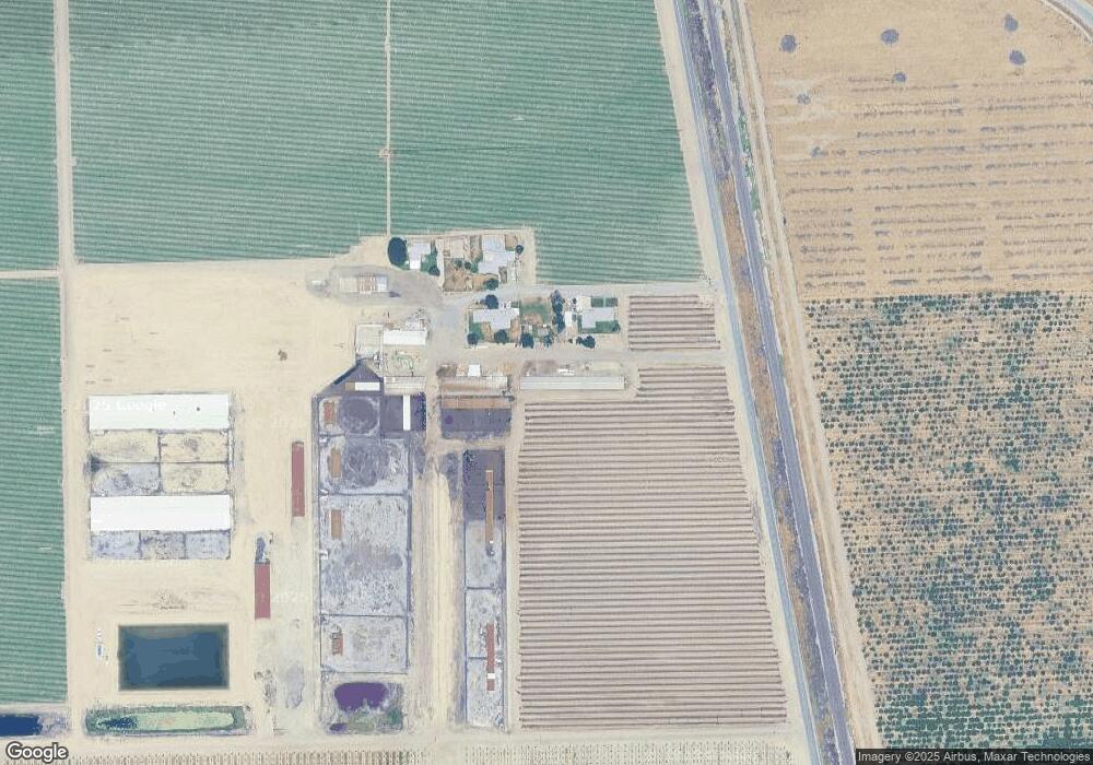
Map
Nearby Homes
- 0 Road 112 Unit 202510708
- 0 Road 112 Unit 11681417
- 0 Road 112 Unit 232822
- 0 Ca-99 Unit 237484
- 0 Ca-99 Unit 202500357
- 0 Avenue 196
- 900 E Rankin Rd Unit 3
- 900 E Rankin Rd Unit 18
- 900 E Rankin Rd Unit 26
- 900 E Rankin Rd Unit 72
- 900 E Rankin Rd Unit 69
- 900 E Rankin Rd
- 900 E Rankin Rd Unit 5
- 900 E Rankin Rd Unit 134
- 900 E Rankin Rd Unit 30
- 014 S Laspina St
- 182330014 S Laspina St
- 672 N Smith Rd
- 4620 Ave 288
- 571 SFT Bay Hill Dr