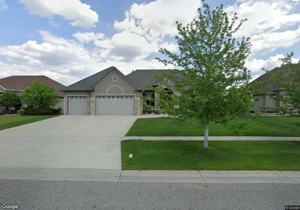
1819 7th St E West Fargo, ND 58078
Charleswood NeighborhoodEstimated Value: $1,185,112
3
Beds
3
Baths
6,150
Sq Ft
$193/Sq Ft
Est. Value
About This Home
This home is located at 1819 7th St E, West Fargo, ND 58078 and is currently estimated at $1,185,112, approximately $192 per square foot. 1819 7th St E is a home located in Cass County with nearby schools including South Elementary School, Cheney Middle School, and West Fargo High School.
Ownership History
Date
Name
Owned For
Owner Type
Purchase Details
Closed on
Oct 1, 2020
Sold by
Boen Andrew S and Boen Pamela M
Bought by
Bring James R and Bring Lesley K
Current Estimated Value
Purchase Details
Closed on
Oct 10, 2014
Sold by
Johnson Lori K
Bought by
Boen Andrew S and Boen Pamela M
Create a Home Valuation Report for This Property
The Home Valuation Report is an in-depth analysis detailing your home's value as well as a comparison with similar homes in the area
Home Values in the Area
Average Home Value in this Area
Purchase History
| Date | Buyer | Sale Price | Title Company |
|---|---|---|---|
| Bring James R | $850,000 | The Title Co | |
| Boen Andrew S | $835,000 | Title Co |
Source: Public Records
Tax History Compared to Growth
Tax History
| Year | Tax Paid | Tax Assessment Tax Assessment Total Assessment is a certain percentage of the fair market value that is determined by local assessors to be the total taxable value of land and additions on the property. | Land | Improvement |
|---|---|---|---|---|
| 2024 | $12,375 | $470,100 | $67,800 | $402,300 |
| 2023 | $12,262 | $443,300 | $67,800 | $375,500 |
| 2022 | $12,416 | $429,550 | $67,800 | $361,750 |
| 2021 | $11,710 | $390,050 | $56,500 | $333,550 |
| 2020 | $12,137 | $418,250 | $56,500 | $361,750 |
| 2019 | $11,869 | $415,500 | $56,500 | $359,000 |
| 2018 | $11,266 | $411,850 | $56,500 | $355,350 |
| 2017 | $11,859 | $411,850 | $56,500 | $355,350 |
| 2016 | $10,668 | $401,300 | $56,500 | $344,800 |
| 2015 | $10,276 | $352,000 | $45,100 | $306,900 |
| 2014 | $9,994 | $328,950 | $45,100 | $283,850 |
| 2013 | $10,177 | $328,950 | $45,100 | $283,850 |
Source: Public Records
Map
Nearby Homes
- 1811 7th St E
- 1809 Pentland St
- 716 Northridge Way
- 724 Northridge Way
- 517 18th Ave E
- 631 15th Ave E
- 134 17th Ave E
- 1845 Huntington Ct
- 1844 1st St
- 1836 12th St E
- 154 W Beaton Dr
- 1829 13th St E
- 1859 13th St E
- 1264 Marlys Dr W
- 1633 3rd St W
- 1534 Baywood Dr
- 1522 Baywood Dr
- 336 13th Ave E
- 987 14th Ave E
- 1221 Cedar Way