1819 John Muir Cir SE Unit 13 Salem, OR 97302
Morningside NeighborhoodEstimated Value: $342,000 - $376,000
--
Bed
1
Bath
1,011
Sq Ft
$351/Sq Ft
Est. Value
About This Home
This home is located at 1819 John Muir Cir SE Unit 13, Salem, OR 97302 and is currently estimated at $355,344, approximately $351 per square foot. 1819 John Muir Cir SE Unit 13 is a home located in Marion County with nearby schools including Morningside Elementary School, Leslie Middle School, and South Salem High School.
Ownership History
Date
Name
Owned For
Owner Type
Purchase Details
Closed on
Sep 21, 2021
Sold by
Stafford Homes & Land Llc
Bought by
Mattson Marjorie Ruth
Current Estimated Value
Home Financials for this Owner
Home Financials are based on the most recent Mortgage that was taken out on this home.
Original Mortgage
$213,900
Outstanding Balance
$194,208
Interest Rate
2.8%
Mortgage Type
New Conventional
Estimated Equity
$161,136
Purchase Details
Closed on
Sep 2, 2021
Sold by
Stafford Homes & Land Llc
Bought by
Mattson Marjorie Ruth
Home Financials for this Owner
Home Financials are based on the most recent Mortgage that was taken out on this home.
Original Mortgage
$213,900
Outstanding Balance
$194,208
Interest Rate
2.8%
Mortgage Type
New Conventional
Estimated Equity
$161,136
Create a Home Valuation Report for This Property
The Home Valuation Report is an in-depth analysis detailing your home's value as well as a comparison with similar homes in the area
Home Values in the Area
Average Home Value in this Area
Purchase History
| Date | Buyer | Sale Price | Title Company |
|---|---|---|---|
| Mattson Marjorie Ruth | $314,900 | First American Title | |
| Mattson Marjorie Ruth | $314,900 | First American Title |
Source: Public Records
Mortgage History
| Date | Status | Borrower | Loan Amount |
|---|---|---|---|
| Open | Mattson Marjorie Ruth | $213,900 | |
| Closed | Mattson Marjorie Ruth | $213,900 |
Source: Public Records
Tax History Compared to Growth
Tax History
| Year | Tax Paid | Tax Assessment Tax Assessment Total Assessment is a certain percentage of the fair market value that is determined by local assessors to be the total taxable value of land and additions on the property. | Land | Improvement |
|---|---|---|---|---|
| 2025 | $3,400 | $178,360 | -- | -- |
| 2024 | $3,400 | $173,170 | -- | -- |
| 2023 | $3,300 | $168,130 | $0 | $0 |
| 2022 | $3,111 | $163,240 | $0 | $0 |
| 2021 | $970 | $50,870 | $0 | $0 |
| 2020 | $971 | $49,390 | $0 | $0 |
| 2019 | $937 | $47,960 | $0 | $0 |
| 2018 | $925 | $0 | $0 | $0 |
| 2017 | $538 | $0 | $0 | $0 |
| 2016 | $528 | $0 | $0 | $0 |
| 2015 | $548 | $0 | $0 | $0 |
| 2014 | $926 | $0 | $0 | $0 |
Source: Public Records
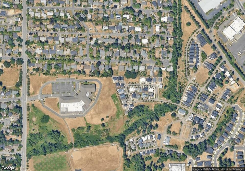
Map
Nearby Homes
- 1655 Corina Dr SE
- 2010 Audubon Ave SE
- 1892 Cousteau Loop SE
- 1620 Marshall Dr SE
- 3950 Bartholomew Place SE
- 2116 Audubon Ave SE
- 3732 Village Center Dr SE
- 1633 Leslie Wind Ln SE
- 4030 Cheshire Ln SE
- 4039 Village Center Dr SE
- 4072 Dornoch Ln SE
- 4059 Dornoch Ln SE
- 1720 Strong Rd SE
- 1714 Strong Rd SE
- 1702 Strong Rd SE
- 1710 Strong Rd SE
- 1792 Strong Rd SE
- 1275 Oakhill Ave SE
- 1299 Marshall Dr SE
- 2094 Legacy Heights Dr SE
- 1819 John Muir Cir SE
- 1809 John Muir Cir SE
- 1829 John Muir Cir SE
- 1789 John Muir Cir SE
- 1793 John Muir Cir SE
- 1797 John Muir Cir SE
- 1839 John Muir Cir SE
- 1768 John Muir Cir SE
- 1765 John Muir Cir SE
- 1765 John Muir Cir SE Unit 6
- 1849 John Muir Cir SE
- 1696 Ewald Ave SE
- 1758 John Muir Cir SE
- 1864 John Muir Cir SE
- 1726 Ewald Ave SE
- 1676 Ewald Ave SE
- 1874 John Muir Cir SE
- 1859 John Muir Cir SE
- 1746 Ewald Ave SE
- 1755 John Muir Cir SE