1819 Lower Roswell Rd Marietta, GA 30068
Eastern Marietta NeighborhoodEstimated Value: $441,000 - $646,924
4
Beds
2
Baths
2,712
Sq Ft
$199/Sq Ft
Est. Value
About This Home
This home is located at 1819 Lower Roswell Rd, Marietta, GA 30068 and is currently estimated at $539,731, approximately $199 per square foot. 1819 Lower Roswell Rd is a home located in Cobb County with nearby schools including Marietta Sixth Grade Academy, Lockheed Elementary School, and Marietta Middle School.
Ownership History
Date
Name
Owned For
Owner Type
Purchase Details
Closed on
Feb 16, 2006
Sold by
Thomas and Thomas
Bought by
Thomas & Thomas Llp
Current Estimated Value
Purchase Details
Closed on
Jun 11, 2003
Sold by
Thomkas Luda M
Bought by
Thomas Joel M and Thomas Edward
Create a Home Valuation Report for This Property
The Home Valuation Report is an in-depth analysis detailing your home's value as well as a comparison with similar homes in the area
Home Values in the Area
Average Home Value in this Area
Purchase History
| Date | Buyer | Sale Price | Title Company |
|---|---|---|---|
| Thomas & Thomas Llp | -- | -- | |
| Thomas Joel M | -- | -- |
Source: Public Records
Tax History Compared to Growth
Tax History
| Year | Tax Paid | Tax Assessment Tax Assessment Total Assessment is a certain percentage of the fair market value that is determined by local assessors to be the total taxable value of land and additions on the property. | Land | Improvement |
|---|---|---|---|---|
| 2025 | $516 | $232,000 | $170,164 | $61,836 |
| 2024 | $516 | $232,000 | $170,164 | $61,836 |
| 2023 | $364 | $232,000 | $170,164 | $61,836 |
| 2022 | $516 | $214,000 | $151,152 | $62,848 |
| 2021 | $544 | $214,000 | $151,152 | $62,848 |
| 2020 | $551 | $266,848 | $204,000 | $62,848 |
| 2019 | $541 | $193,044 | $160,788 | $32,256 |
| 2018 | $541 | $193,044 | $160,788 | $32,256 |
| 2017 | $440 | $193,044 | $160,788 | $32,256 |
| 2016 | $438 | $138,920 | $83,836 | $55,084 |
| 2015 | $480 | $118,848 | $83,836 | $35,012 |
| 2014 | $498 | $120,166 | $83,836 | $36,330 |
Source: Public Records
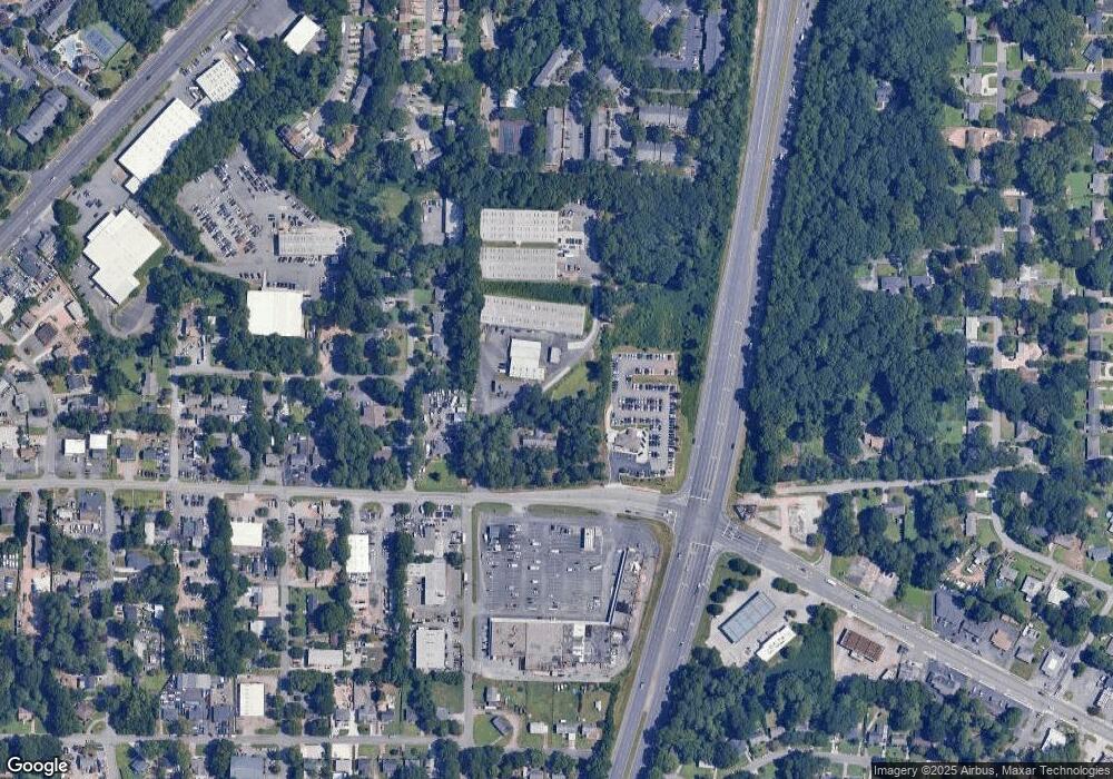
Map
Nearby Homes
- 332 Hamilton Trace
- 1821 Clearwater Dr SE
- 57 Sewell Ln
- 1923 Clearwater Dr SE
- 1785 Crestridge Dr SE
- 141 Powers Ferry Rd SE
- 1824 Crestridge Dr SE
- 185 Herbert Dr SE
- 201 Hunting Creek Dr
- 201 Hunting Creek Dr Unit LotWP001
- 349 Virginia Place SE
- 369 Virginia Place SE
- 1722 Crestridge Dr SE
- 1445 Varner Rd
- 2164 Pawnee Dr SE Unit 1
- 229 Mathews Cir SE
- 1664 Crestridge Dr SE
- 0 Shadowbrook Dr Unit 10506866
- 0 Shadowbrook Dr Unit 7564152
- 361 Clear Spring Ct
- 1827 Lower Roswell Rd
- 107 Dogwood Dr
- 109 Dogwood Dr
- 0 Dogwood Dr Unit 8622138
- 0 Dogwood Dr Unit 8541541
- 0 Dogwood Dr Unit 8496477
- 0 Dogwood Dr
- 111 Dogwood Dr
- 1773 Lower Roswell Rd
- 113 Dogwood Dr
- 108 Dogwood Dr
- 115 Dogwood Dr
- 112 Dogwood Dr 0
- 112 Dogwood Dr
- 1758 Nekoma St
- 1789 Nekoma St
- 114 Dogwood Dr
- 1748 Nekoma St
- 53 Indian Trail
- 5 Hamby Rd SE