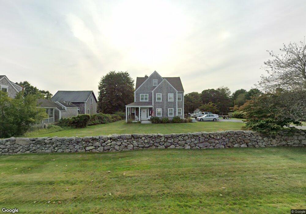
1819 Main Rd Westport Point, MA 02791
Westport Point NeighborhoodEstimated Value: $964,000 - $1,933,000
3
Beds
--
Bath
3,597
Sq Ft
$411/Sq Ft
Est. Value
About This Home
This home is located at 1819 Main Rd, Westport Point, MA 02791 and is currently estimated at $1,477,535, approximately $410 per square foot. 1819 Main Rd is a home with nearby schools including Alice A. Macomber Primary School, Westport Elementary School, and Westport Middle-High School.
Ownership History
Date
Name
Owned For
Owner Type
Purchase Details
Closed on
Jul 30, 2001
Sold by
Patys Sherry L
Bought by
Mccarthy James E and Karam Elizabeth L
Current Estimated Value
Home Financials for this Owner
Home Financials are based on the most recent Mortgage that was taken out on this home.
Original Mortgage
$275,000
Outstanding Balance
$107,506
Interest Rate
7.18%
Mortgage Type
Purchase Money Mortgage
Estimated Equity
$1,370,029
Purchase Details
Closed on
Dec 11, 1998
Sold by
Stahley David M and Stahley Julie A
Bought by
Patys Sherry L
Home Financials for this Owner
Home Financials are based on the most recent Mortgage that was taken out on this home.
Original Mortgage
$183,000
Interest Rate
6.8%
Mortgage Type
Purchase Money Mortgage
Create a Home Valuation Report for This Property
The Home Valuation Report is an in-depth analysis detailing your home's value as well as a comparison with similar homes in the area
Home Values in the Area
Average Home Value in this Area
Purchase History
| Date | Buyer | Sale Price | Title Company |
|---|---|---|---|
| Mccarthy James E | $379,000 | -- | |
| Patys Sherry L | $320,000 | -- |
Source: Public Records
Mortgage History
| Date | Status | Borrower | Loan Amount |
|---|---|---|---|
| Open | Patys Sherry L | $275,000 | |
| Previous Owner | Patys Sherry L | $183,000 |
Source: Public Records
Tax History Compared to Growth
Tax History
| Year | Tax Paid | Tax Assessment Tax Assessment Total Assessment is a certain percentage of the fair market value that is determined by local assessors to be the total taxable value of land and additions on the property. | Land | Improvement |
|---|---|---|---|---|
| 2025 | $7,627 | $1,023,700 | $643,900 | $379,800 |
| 2024 | $7,211 | $932,900 | $561,900 | $371,000 |
| 2023 | $6,975 | $854,800 | $502,100 | $352,700 |
| 2022 | $5,857 | $736,600 | $449,200 | $287,400 |
| 2021 | $5,857 | $679,500 | $390,400 | $289,100 |
| 2020 | $5,597 | $663,900 | $374,800 | $289,100 |
| 2019 | $5,320 | $643,300 | $357,500 | $285,800 |
| 2018 | $5,351 | $655,000 | $378,500 | $276,500 |
| 2017 | $5,245 | $658,100 | $378,500 | $279,600 |
| 2016 | $4,970 | $628,300 | $378,500 | $249,800 |
| 2015 | -- | $631,000 | $390,700 | $240,300 |
Source: Public Records
Map
Nearby Homes
- 1881 Main Rd
- 1702J Drift Rd
- 1702 Drift Rd
- 1580 Main Rd
- 0 Reed Rd (Ss)
- 1346 Main Rd Unit B
- 99 Sylvia Ln
- 19 Seabury Ln
- 189 Brayton Point Rd
- 255 John Dyer Rd
- 225 Hixbridge Rd
- 304 Brayton Point Rd
- 920 Drift Rd
- 17 Quail Trail
- 245 John Dyer Rd
- 238-242 E Beach Rd
- 101 Adamsville Rd
- Lot 2 Horseneck Rd
- 837 Main Road & Lot 2
- 837 Main Rd
- 1823 Main Rd
- 1815 Main Rd
- 1818 Main Rd
- 1814 Main Rd
- 1809 Main Rd Unit WINTER RENT
- 1809 Main Rd
- 1809 Main Rd Unit A
- 1824 Main Rd
- 1831 Main Rd
- 1813 Main Rd
- 2 Fairview Ave
- 1847 Main Rd
- 1847 Main Rd Unit VAC RENTAL
- 1847 Main Rd Unit WINTER RENT
- 1835 Main Rd
- 1835 Main Rd
- 1835 Main Road U: Summer Rental
- 1834 Main Rd
- 1806 Main Rd
- 1 Fairview Ave