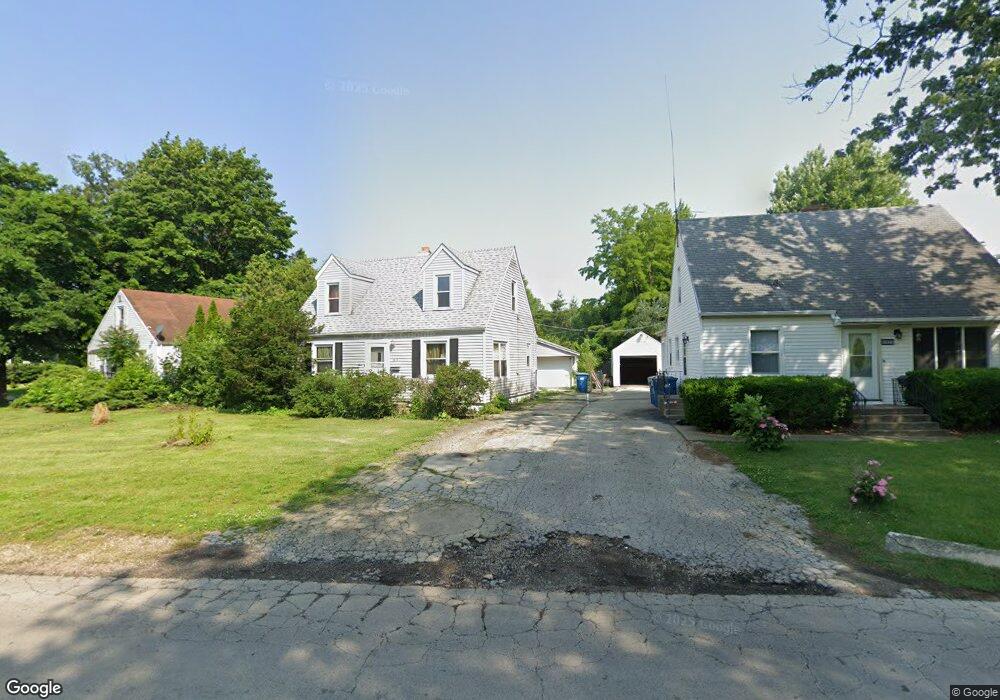
1819 Pierson Pkwy Kankakee, IL 60901
Estimated Value: $109,000 - $140,000
4
Beds
1
Bath
--
Sq Ft
8,930
Sq Ft Lot
About This Home
This home is located at 1819 Pierson Pkwy, Kankakee, IL 60901 and is currently estimated at $124,634. 1819 Pierson Pkwy is a home located in Kankakee County with nearby schools including Edison Primary School, King Middle Grade School, and Kankakee Junior High School.
Ownership History
Date
Name
Owned For
Owner Type
Purchase Details
Closed on
Apr 30, 2007
Sold by
Paul Zeedyk
Bought by
French Kenneth P
Current Estimated Value
Home Financials for this Owner
Home Financials are based on the most recent Mortgage that was taken out on this home.
Original Mortgage
$88,609
Interest Rate
4.87%
Mortgage Type
FHA
Create a Home Valuation Report for This Property
The Home Valuation Report is an in-depth analysis detailing your home's value as well as a comparison with similar homes in the area
Home Values in the Area
Average Home Value in this Area
Purchase History
| Date | Buyer | Sale Price | Title Company |
|---|---|---|---|
| French Kenneth P | $90,000 | Standard Title |
Source: Public Records
Mortgage History
| Date | Status | Borrower | Loan Amount |
|---|---|---|---|
| Previous Owner | French Kenneth P | $88,609 |
Source: Public Records
Tax History Compared to Growth
Tax History
| Year | Tax Paid | Tax Assessment Tax Assessment Total Assessment is a certain percentage of the fair market value that is determined by local assessors to be the total taxable value of land and additions on the property. | Land | Improvement |
|---|---|---|---|---|
| 2024 | $4,141 | $35,023 | $4,040 | $30,983 |
| 2023 | $3,990 | $31,201 | $3,599 | $27,602 |
| 2022 | $3,711 | $27,309 | $3,150 | $24,159 |
| 2021 | $3,503 | $24,714 | $2,851 | $21,863 |
| 2020 | $3,249 | $22,215 | $2,563 | $19,652 |
| 2019 | $3,097 | $20,665 | $2,384 | $18,281 |
| 2018 | $2,982 | $19,134 | $2,207 | $16,927 |
| 2017 | $3,339 | $18,713 | $2,158 | $16,555 |
| 2016 | $3,130 | $18,346 | $2,116 | $16,230 |
| 2015 | $3,023 | $18,720 | $2,159 | $16,561 |
| 2014 | $3,238 | $20,811 | $2,159 | $18,652 |
| 2013 | -- | $21,678 | $2,249 | $19,429 |
Source: Public Records
Map
Nearby Homes
- 1686 E Bourbonnais St
- 639 Wood Ct
- 459 S Nelson Ave
- 540 S Osborn Ave
- 601 S Osborn Ave
- 1820 E Eagle St
- 370 Albert Blvd
- 684 S Gordon Ave
- 550 S Poplar Ave
- 326 S Gordon Ave
- 1717 Greenview Ave
- 643 S Elm Ave
- 417 S Elm Ave
- 382 S Elm Ave
- 744 S Elm Ave
- 964 S Lincoln Ave
- 229 S Sibley Ave
- 1019 E Bourbonnais St
- 355 S Myrtle Ave
- 2345 E Maple St Unit 67
- 1827 Pierson Pkwy
- 1831 Pierson Pkwy
- 506 Country Club Dr
- 1845 Pierson Pkwy
- 555 Country Club Dr
- 490 Country Club Dr
- 488 Country Club Dr
- 1789 Pierson Pkwy
- 495 Country Club Dr
- 480 Country Club Dr
- 1816 Pierson Pkwy
- 1828 Pierson Pkwy
- 1666 E Bourbonnais St
- 1667 E Bourbonnais St
- 603 Wood Ct
- 474 Country Club Dr
- 481 Country Club Dr
- 616 Country Club Dr
- 1743 Pierson Pkwy
- 1665 E Bourbonnais St