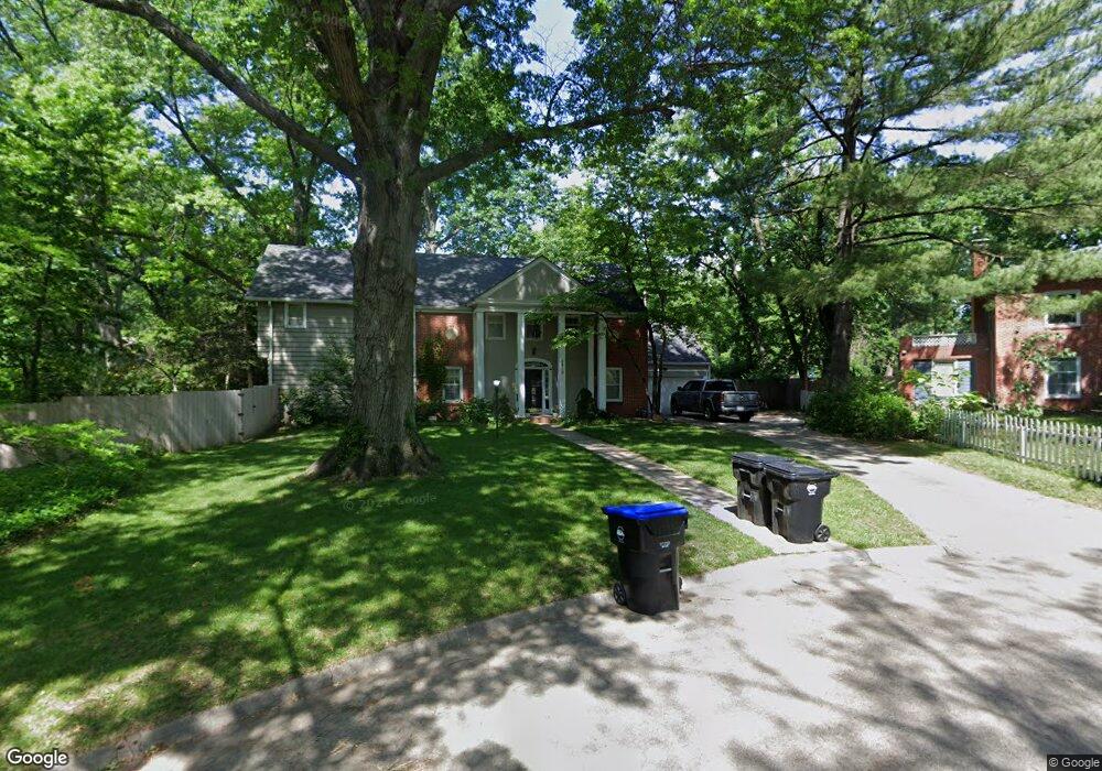
1819 SW Westwood Cir Topeka, KS 66604
Central Topeka NeighborhoodEstimated Value: $285,000 - $321,000
4
Beds
4
Baths
3,022
Sq Ft
$102/Sq Ft
Est. Value
About This Home
This home is located at 1819 SW Westwood Cir, Topeka, KS 66604 and is currently estimated at $308,383, approximately $102 per square foot. 1819 SW Westwood Cir is a home located in Shawnee County with nearby schools including Whitson Elementary School, Marjorie French Middle School, and Topeka West High School.
Ownership History
Date
Name
Owned For
Owner Type
Purchase Details
Closed on
Sep 12, 2014
Sold by
Mccall Cramer Tanya Y
Bought by
Selley Robert M and Selley Jana R
Current Estimated Value
Purchase Details
Closed on
Apr 23, 2005
Sold by
Pinegar Simmons Barbara Joan and Simmons Barbara Jp
Bought by
Selley Robert M and Selley Jana R
Home Financials for this Owner
Home Financials are based on the most recent Mortgage that was taken out on this home.
Original Mortgage
$172,000
Interest Rate
6.06%
Mortgage Type
New Conventional
Purchase Details
Closed on
Apr 22, 2005
Sold by
Simmons Barbara Joan Pinegar and Simmons Barbara J P
Bought by
Selley Rebert M and Selley Jana R
Home Financials for this Owner
Home Financials are based on the most recent Mortgage that was taken out on this home.
Original Mortgage
$172,000
Interest Rate
6.06%
Mortgage Type
New Conventional
Create a Home Valuation Report for This Property
The Home Valuation Report is an in-depth analysis detailing your home's value as well as a comparison with similar homes in the area
Home Values in the Area
Average Home Value in this Area
Purchase History
| Date | Buyer | Sale Price | Title Company |
|---|---|---|---|
| Selley Robert M | -- | Accommodation | |
| Selley Robert M | -- | None Available | |
| Selley Rebert M | -- | Capital Title Insurance Comp |
Source: Public Records
Mortgage History
| Date | Status | Borrower | Loan Amount |
|---|---|---|---|
| Previous Owner | Selley Robert M | $172,000 | |
| Previous Owner | Selley Rebert M | $172,000 |
Source: Public Records
Tax History Compared to Growth
Tax History
| Year | Tax Paid | Tax Assessment Tax Assessment Total Assessment is a certain percentage of the fair market value that is determined by local assessors to be the total taxable value of land and additions on the property. | Land | Improvement |
|---|---|---|---|---|
| 2025 | $4,622 | $33,805 | -- | -- |
| 2023 | $4,622 | $30,372 | $0 | $0 |
| 2022 | $4,139 | $27,363 | $0 | $0 |
| 2021 | $3,936 | $24,875 | $0 | $0 |
| 2020 | $3,778 | $24,151 | $0 | $0 |
| 2019 | $3,800 | $24,151 | $0 | $0 |
| 2018 | $3,804 | $24,151 | $0 | $0 |
| 2017 | $3,813 | $24,151 | $0 | $0 |
| 2014 | $3,850 | $24,151 | $0 | $0 |
Source: Public Records
Map
Nearby Homes
- 2012 SW Westwood Dr
- 2028 SW Stone Ave
- 1625 SW Lakeside Dr
- 1520 SW Oakley Ave
- 1540 SW Webster Ave
- 1533 SW Stratford Rd
- 3636 SW Stratford Rd
- 3100 SW Canterbury Ln
- 4230 SW 19th St
- 1355 SW Medford Ave
- 4221 SW 17th St
- 4401 SW Connemara Ln
- 4405 SW Connemara Ln
- 4200 SW Stratford Rd
- 3405 SW Huntoon St
- 2330 SW Wayne Ave
- 1503 SW MacVicar Ave
- 1225 SW Lakeside Dr
- 1610 SW Plass Ave
- 1432 SW MacVicar Ave
- 1825 SW Westwood Dr
- 1834 SW Pembroke Ln
- 1830 SW Pembroke Ln
- 1815 SW Westwood Cir
- 1838 SW Pembroke Ln
- 3216 SW 19th St
- 1826 SW Pembroke Ln
- 3208 SW 19th St
- 1820 SW Pembroke Ln
- 1844 SW Pembroke Ln
- 1845 SW Westwood Dr
- 1811 SW Westwood Dr
- 1812 SW Pembroke Ln
- 1848 SW Pembroke Ln
- 3125 SW 18th St
- 3119 SW 18th St
- 1808 SW Pembroke Ln
- 1822 SW Westwood Dr
- 1828 SW Westwood Dr
- 1844 SW Westwood Dr