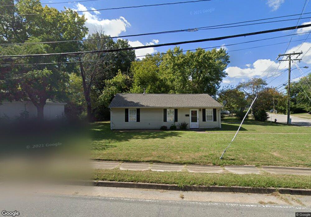
1819 W Queen St Hampton, VA 23666
Briarfield NeighborhoodEstimated Value: $178,000 - $212,000
3
Beds
1
Bath
929
Sq Ft
$210/Sq Ft
Est. Value
About This Home
This home is located at 1819 W Queen St, Hampton, VA 23666 and is currently estimated at $195,494, approximately $210 per square foot. 1819 W Queen St is a home located in Hampton City with nearby schools including Aberdeen Elementary School, Cesar Tarrant Middle School, and Bethel High School.
Ownership History
Date
Name
Owned For
Owner Type
Purchase Details
Closed on
Apr 13, 2009
Sold by
Hsbc Bank Usa
Bought by
Esl Llc
Current Estimated Value
Home Financials for this Owner
Home Financials are based on the most recent Mortgage that was taken out on this home.
Original Mortgage
$56,000
Outstanding Balance
$35,382
Interest Rate
4.93%
Mortgage Type
Construction
Estimated Equity
$160,112
Create a Home Valuation Report for This Property
The Home Valuation Report is an in-depth analysis detailing your home's value as well as a comparison with similar homes in the area
Home Values in the Area
Average Home Value in this Area
Purchase History
| Date | Buyer | Sale Price | Title Company |
|---|---|---|---|
| Esl Llc | $63,500 | -- |
Source: Public Records
Mortgage History
| Date | Status | Borrower | Loan Amount |
|---|---|---|---|
| Open | Esl Llc | $56,000 |
Source: Public Records
Tax History
| Year | Tax Paid | Tax Assessment Tax Assessment Total Assessment is a certain percentage of the fair market value that is determined by local assessors to be the total taxable value of land and additions on the property. | Land | Improvement |
|---|---|---|---|---|
| 2025 | $2,113 | $181,200 | $60,000 | $121,200 |
| 2024 | $1,865 | $162,200 | $60,000 | $102,200 |
| 2023 | $1,647 | $142,000 | $55,000 | $87,000 |
| 2022 | $1,433 | $121,400 | $49,000 | $72,400 |
| 2021 | $1,428 | $104,700 | $39,000 | $65,700 |
| 2020 | $1,246 | $100,500 | $36,500 | $64,000 |
| 2019 | $1,228 | $99,000 | $36,500 | $62,500 |
| 2018 | $1,329 | $98,400 | $36,500 | $61,900 |
| 2017 | $1,314 | $0 | $0 | $0 |
| 2016 | $1,305 | $97,700 | $0 | $0 |
| 2015 | $1,305 | $0 | $0 | $0 |
| 2014 | $1,310 | $97,700 | $36,500 | $61,200 |
Source: Public Records
Map
Nearby Homes
- 129 Jordan Dr
- 78 Calvary Terrace
- 79 Jordan Dr
- 28 Saint Johns Dr
- 820 Celia Ct
- 15 E Walker Rd
- 1111 Celia Ct
- 7 E Lewis Rd
- 10 W Walker Rd
- 1036 Randall Ct
- 1119 Gatling Dr
- 1027 Barry Ct
- 8 Tallwood Dr
- 52 Rockingham Dr
- 34 Joynes Rd
- 203 Hickory Hill Rd
- 107 Aspenwood Dr
- 17 Northwood Dr
- 24 Hickory Hill Rd
- 2794 Butternut Dr
- 140 E Weaver Rd
- 1815 W Queen St
- 1820 W Queen St
- 139 E Weaver Rd
- 136 E Weaver Rd
- 1811 W Queen St
- 137 E Weaver Rd
- 134 E Weaver Rd
- 1831 W Queen St
- 1807 W Queen St
- 132 E Weaver Rd
- 135 E Weaver Rd
- 126 E Weaver Rd
- 133 E Weaver Rd
- 1824 W Queen St
- 131 Jordan Dr
- 1781 W Queen St
- 34 Sharon Ct
- 1999 Power Plant Pkwy
- 35 Sharon Ct
Your Personal Tour Guide
Ask me questions while you tour the home.