182 Acorn Cir Mineral, VA 23117
Estimated Value: $518,000 - $624,000
4
Beds
3
Baths
3,100
Sq Ft
$180/Sq Ft
Est. Value
About This Home
This home is located at 182 Acorn Cir, Mineral, VA 23117 and is currently estimated at $556,920, approximately $179 per square foot. 182 Acorn Cir is a home located in Louisa County with nearby schools including Thomas Jefferson Elementary School, Louisa County Middle School, and Louisa County High School.
Ownership History
Date
Name
Owned For
Owner Type
Purchase Details
Closed on
Jun 10, 2019
Sold by
Peterson Christopher and Peterson Rebecca A
Bought by
Stieg Forrest Richard and Stieg Karen P
Current Estimated Value
Home Financials for this Owner
Home Financials are based on the most recent Mortgage that was taken out on this home.
Original Mortgage
$276,000
Outstanding Balance
$242,671
Interest Rate
4.1%
Mortgage Type
New Conventional
Estimated Equity
$314,249
Purchase Details
Closed on
Sep 12, 2005
Sold by
Scully Whitney C and Scully Mary Helen
Bought by
Naill Kenneth M and Naill Frances A
Create a Home Valuation Report for This Property
The Home Valuation Report is an in-depth analysis detailing your home's value as well as a comparison with similar homes in the area
Home Values in the Area
Average Home Value in this Area
Purchase History
| Date | Buyer | Sale Price | Title Company |
|---|---|---|---|
| Stieg Forrest Richard | $345,000 | Terry S Title | |
| Naill Kenneth M | $375,000 | None Available |
Source: Public Records
Mortgage History
| Date | Status | Borrower | Loan Amount |
|---|---|---|---|
| Open | Stieg Forrest Richard | $276,000 |
Source: Public Records
Tax History Compared to Growth
Tax History
| Year | Tax Paid | Tax Assessment Tax Assessment Total Assessment is a certain percentage of the fair market value that is determined by local assessors to be the total taxable value of land and additions on the property. | Land | Improvement |
|---|---|---|---|---|
| 2024 | $3,220 | $447,200 | $87,900 | $359,300 |
| 2023 | $2,942 | $430,100 | $73,300 | $356,800 |
| 2022 | $2,771 | $384,900 | $63,500 | $321,400 |
| 2021 | $1,799 | $342,400 | $63,500 | $278,900 |
| 2020 | $2,262 | $314,200 | $63,500 | $250,700 |
| 2019 | $2,030 | $281,900 | $63,500 | $218,400 |
| 2018 | $1,986 | $275,800 | $63,500 | $212,300 |
| 2017 | $1,942 | $269,700 | $63,500 | $206,200 |
| 2016 | $1,942 | $269,700 | $63,500 | $206,200 |
| 2015 | $1,883 | $261,500 | $66,500 | $195,000 |
| 2013 | -- | $258,500 | $70,400 | $188,100 |
Source: Public Records
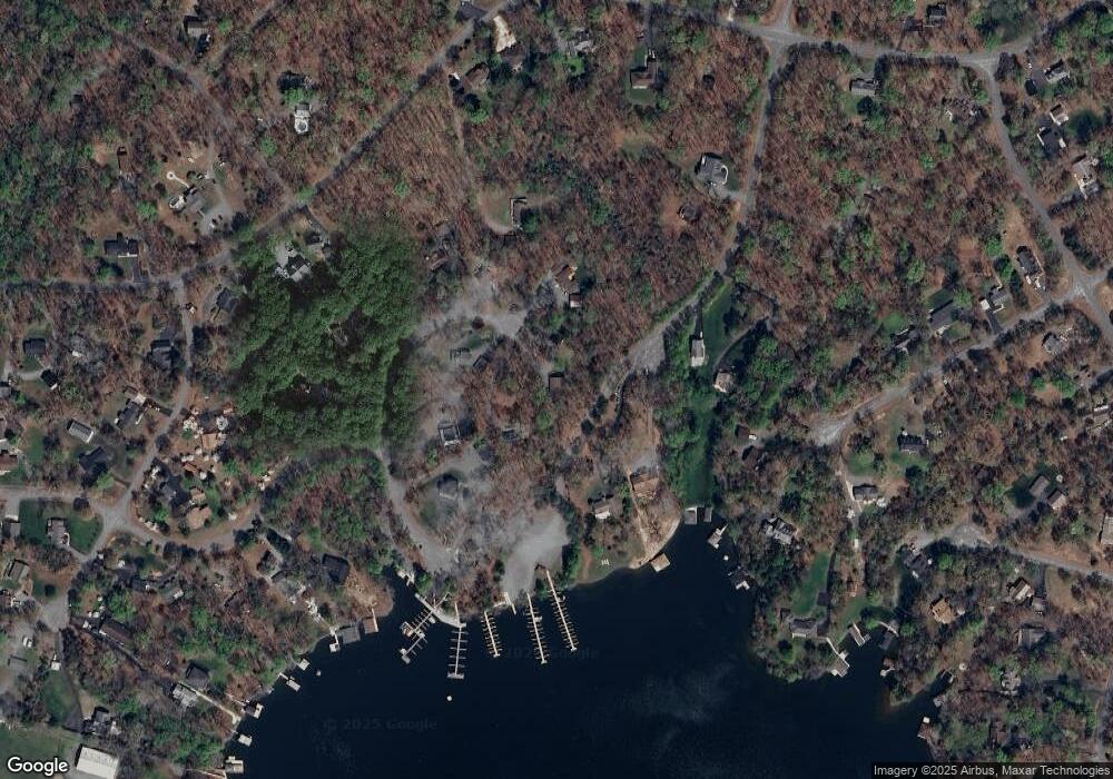
Map
Nearby Homes
- Lot 17 Mary Wayne Ln
- Lot 72 Madeline Ln
- Lot 28 Turkey Trail
- 0 (Lot 5) New Bridge Rd
- 40 Grandview Dr
- Lot 11 Park Run
- Lot 7 Pinewood Dr
- 0 Laurelwood Dr Unit VALA2008522
- 41 Lakeshore Ln
- 60 Laurelwood Dr
- 219 Oakwood Dr
- Lot 76 Centerville Rd
- 315 Lakewood Cir
- 184 Anna Coves Blvd
- Lot 2 & 6 New Bridge Rd
- 373 Hemlock Ln
- 358 Hemlock Ln
- 115 Forest Ln
- TBD Tall Pines Dr
- 5 Hunt Haven
- 174 Acorn Cir
- 0 Mark Wayne Ln Unit 1003278148
- 0 Mark Wayne Ln Unit 1007077820
- 0 Mark Wayne Ln Unit LA8344325
- 0 Mark Wayne Ln Unit VALA2000144
- 0 Mark Wayne Ln Unit VALA120936
- 181 Acorn Cir
- 162 Acorn Cir
- 211 Mark Wayne Ln
- Lot 16 Mark Wayne Ln
- 84 Acorn Cir
- 213 Mark Wayne Ln
- 161 Mark Wayne Ln
- 36 Acorn Cir
- 125 Mark Wayne Ln
- 149 Acorn Cir
- 646 Mitchell Point Rd
- 0 Acorn Dr Unit 1000091561
- 0 Acorn Dr Unit 1006784540
- 0 Acorn Dr Unit 1006483612