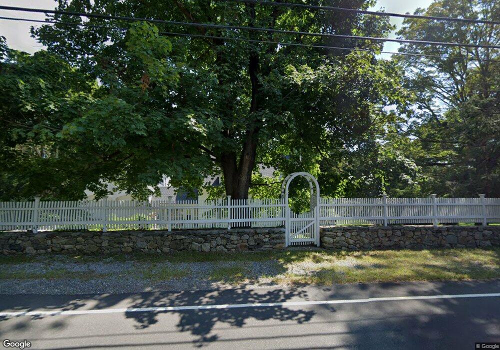
182 Chestnut Hill Rd Wilton, CT 06897
Estimated Value: $894,364 - $1,251,000
4
Beds
2
Baths
1,929
Sq Ft
$516/Sq Ft
Est. Value
About This Home
This home is located at 182 Chestnut Hill Rd, Wilton, CT 06897 and is currently estimated at $995,341, approximately $515 per square foot. 182 Chestnut Hill Rd is a home located in Fairfield County with nearby schools including Miller-Driscoll School, Cider Mill School, and Middlebrook School.
Ownership History
Date
Name
Owned For
Owner Type
Purchase Details
Closed on
Jan 1, 1993
Sold by
Pierson Aimee and Pierson Kristin
Bought by
Robertson Neil and Robertson Kathleen
Current Estimated Value
Create a Home Valuation Report for This Property
The Home Valuation Report is an in-depth analysis detailing your home's value as well as a comparison with similar homes in the area
Home Values in the Area
Average Home Value in this Area
Purchase History
| Date | Buyer | Sale Price | Title Company |
|---|---|---|---|
| Robertson Neil | $389,000 | -- |
Source: Public Records
Mortgage History
| Date | Status | Borrower | Loan Amount |
|---|---|---|---|
| Open | Robertson Neil | $75,000 | |
| Open | Robertson Neil | $160,000 | |
| Closed | Robertson Neil | $186,000 | |
| Closed | Robertson Neil | $199,000 |
Source: Public Records
Tax History Compared to Growth
Tax History
| Year | Tax Paid | Tax Assessment Tax Assessment Total Assessment is a certain percentage of the fair market value that is determined by local assessors to be the total taxable value of land and additions on the property. | Land | Improvement |
|---|---|---|---|---|
| 2025 | $11,942 | $489,230 | $302,960 | $186,270 |
| 2024 | $11,712 | $489,230 | $302,960 | $186,270 |
| 2023 | $14,030 | $375,830 | $280,910 | $94,920 |
| 2022 | $10,610 | $375,830 | $280,910 | $94,920 |
| 2021 | $10,474 | $375,830 | $280,910 | $94,920 |
| 2020 | $7,685 | $375,830 | $280,910 | $94,920 |
| 2019 | $10,726 | $375,830 | $280,910 | $94,920 |
| 2018 | $7,203 | $371,560 | $295,540 | $76,020 |
| 2017 | $10,318 | $371,560 | $295,540 | $76,020 |
| 2016 | $10,158 | $371,560 | $295,540 | $76,020 |
| 2015 | $9,969 | $371,560 | $295,540 | $76,020 |
| 2014 | $9,850 | $371,560 | $295,540 | $76,020 |
Source: Public Records
Map
Nearby Homes
- 93 E Meadow Rd
- 10 Wilton Hunt Rd
- 110 Dudley Rd
- 4A Newtown Turnpike
- 25 Hermit Ln
- 29 Grumman Ave
- 40 Hermit Ln
- 6 Tulip Tree Ln
- 28 Village Ct
- 76 Sturges Ridge Rd
- 105 Danbury Rd
- 4 Good Hill Rd
- 30 Cavalry Rd
- 17 Huckleberry Ln
- 55 Liberty St
- 32 Kettle Creek Rd
- 31 Riverfield Dr
- 81 Norfield Rd
- 84 Wilton Crest Rd Unit 84
- 20 Wilton Crest Unit 20
- 174 Chestnut Hill Rd
- 188 Chestnut Hill Rd
- 38 Blue Ridge Ln
- 171 Chestnut Hill Rd
- 181 Chestnut Hill Rd
- 198 Chestnut Hill Rd
- 187 Chestnut Hill Rd
- 162 Chestnut Hill Rd
- 161 Chestnut Hill Rd
- 19 Blue Ridge Ln
- 30 Blue Ridge Ln
- 208 Chestnut Hill Rd
- 156 Chestnut Hill Rd
- 3 Thistle Ln
- 11 Thistle Ln
- 17 Thistle Ln
- 14 Blue Ridge Ln
- 20 Blue Ridge Ln
- 18 Spoonwood Rd
- 4 Thistle Ln