182 Plum Tree Ln Denison, TX 75021
Estimated Value: $446,183 - $540,000
2
Beds
2
Baths
1,939
Sq Ft
$254/Sq Ft
Est. Value
About This Home
This home is located at 182 Plum Tree Ln, Denison, TX 75021 and is currently estimated at $493,092, approximately $254 per square foot. 182 Plum Tree Ln is a home located in Grayson County with nearby schools including Terrell Elementary School, Scott Middle School, and Denison High School.
Ownership History
Date
Name
Owned For
Owner Type
Purchase Details
Closed on
Jul 25, 2016
Sold by
Cleveland Gerald F and Cleveland Larne
Bought by
Goodman Michael L
Current Estimated Value
Home Financials for this Owner
Home Financials are based on the most recent Mortgage that was taken out on this home.
Original Mortgage
$215,750
Outstanding Balance
$172,476
Interest Rate
3.54%
Mortgage Type
New Conventional
Estimated Equity
$320,616
Create a Home Valuation Report for This Property
The Home Valuation Report is an in-depth analysis detailing your home's value as well as a comparison with similar homes in the area
Home Values in the Area
Average Home Value in this Area
Purchase History
| Date | Buyer | Sale Price | Title Company |
|---|---|---|---|
| Goodman Michael L | -- | None Available |
Source: Public Records
Mortgage History
| Date | Status | Borrower | Loan Amount |
|---|---|---|---|
| Open | Goodman Michael L | $215,750 |
Source: Public Records
Tax History
| Year | Tax Paid | Tax Assessment Tax Assessment Total Assessment is a certain percentage of the fair market value that is determined by local assessors to be the total taxable value of land and additions on the property. | Land | Improvement |
|---|---|---|---|---|
| 2025 | $1,211 | $175,471 | $13,411 | $162,060 |
| 2024 | $2,738 | $169,557 | $0 | $0 |
| 2023 | $1,005 | $154,254 | $10,523 | $143,731 |
| 2022 | $3,102 | $179,528 | $0 | $0 |
| 2021 | $3,061 | $163,256 | $5,908 | $157,348 |
| 2020 | $3,238 | $162,657 | $6,295 | $156,362 |
| 2019 | $3,293 | $155,059 | $19,514 | $135,545 |
| 2018 | $3,281 | $152,843 | $16,397 | $136,446 |
| 2017 | $3,221 | $149,102 | $15,981 | $133,121 |
| 2016 | $3,231 | $149,555 | $22,846 | $126,709 |
Source: Public Records
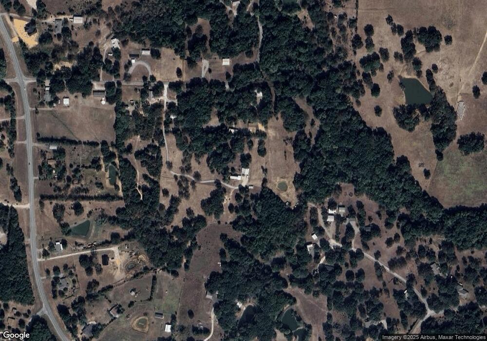
Map
Nearby Homes
- TBD NE Fm 1753 & Singletree
- TBD Singletree Rd
- 2757 Fm 1753
- TBD E Fm 120
- 1846 Richerson Rd
- Vacant Land Ledbetter Ln
- 1838 Richerson Rd
- TBD Ledbetter Ln
- 5.92 Rd
- 566 Mccraw Ln
- 1549 Starr Rd
- 4822 Fm 1753
- 194 Middle Rd
- 40 Cumberland Cir
- TBD Johnson Rd
- 3467 E Fm 120
- TBD Cross Timber Estates Dr
- 2550 Farm To Market Road 120
- 492 Richerson Rd
- 4019 E Fm 120
- 648 Singletree Rd
- 594 Singletree Rd
- 351 Smith Creek Rd
- 621 Singletree Rd
- 21 Plum Tree Ln
- 349 Smith Creek Rd
- 318 Smith Creek Rd
- 761 Singletree Rd
- 515 Singletree Rd
- 3095 Farm To Market Road 1753
- 495 Singletree Rd
- .15 AC Houston St
- TBD S Fannin Ave
- tbd Coffin St
- TBD Oak Ridge Rd
- 2945 Fm 1753
- 827 Singletree Rd
- 141 Smith Creek Rd
- 3275 Fm 1753
- 3041 Fm 1753
Your Personal Tour Guide
Ask me questions while you tour the home.