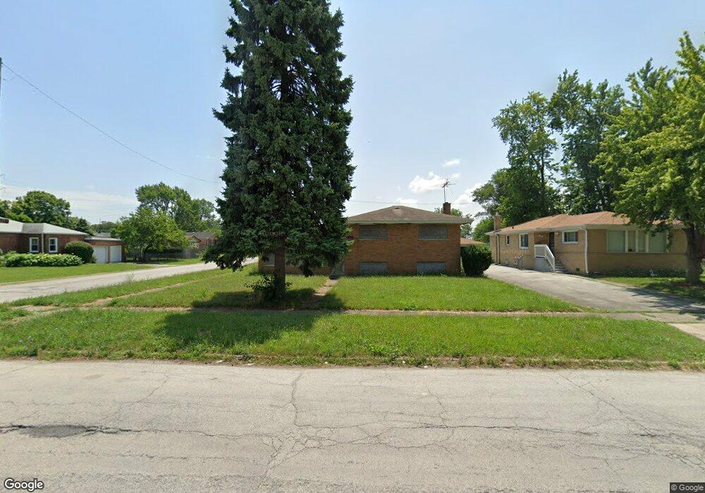
182 W 150th St Harvey, IL 60426
Estimated Value: $94,000 - $140,000
3
Beds
2
Baths
1,150
Sq Ft
$102/Sq Ft
Est. Value
About This Home
This home is located at 182 W 150th St, Harvey, IL 60426 and is currently estimated at $117,418, approximately $102 per square foot. 182 W 150th St is a home located in Cook County with nearby schools including Bryant Elementary School, Brooks Middle School, and Thornton Township High School.
Ownership History
Date
Name
Owned For
Owner Type
Purchase Details
Closed on
Feb 17, 2000
Sold by
Hud
Bought by
Whitted Donald and Whitted Dorothy
Current Estimated Value
Home Financials for this Owner
Home Financials are based on the most recent Mortgage that was taken out on this home.
Original Mortgage
$44,000
Interest Rate
8.22%
Purchase Details
Closed on
Jun 20, 1997
Sold by
Wilson Mary Ann
Bought by
Eaves Barbara
Home Financials for this Owner
Home Financials are based on the most recent Mortgage that was taken out on this home.
Original Mortgage
$68,900
Interest Rate
7.81%
Mortgage Type
FHA
Create a Home Valuation Report for This Property
The Home Valuation Report is an in-depth analysis detailing your home's value as well as a comparison with similar homes in the area
Home Values in the Area
Average Home Value in this Area
Purchase History
| Date | Buyer | Sale Price | Title Company |
|---|---|---|---|
| Whitted Donald | -- | Stewart Title | |
| Eaves Barbara | $69,000 | Attorneys Natl Title Network |
Source: Public Records
Mortgage History
| Date | Status | Borrower | Loan Amount |
|---|---|---|---|
| Previous Owner | Whitted Donald | $44,000 | |
| Previous Owner | Eaves Barbara | $68,900 |
Source: Public Records
Tax History Compared to Growth
Tax History
| Year | Tax Paid | Tax Assessment Tax Assessment Total Assessment is a certain percentage of the fair market value that is determined by local assessors to be the total taxable value of land and additions on the property. | Land | Improvement |
|---|---|---|---|---|
| 2024 | $4,682 | $6,600 | $2,273 | $4,327 |
| 2023 | $3,693 | $6,600 | $2,273 | $4,327 |
| 2022 | $3,693 | $4,265 | $2,273 | $1,992 |
| 2021 | $3,611 | $4,264 | $2,272 | $1,992 |
| 2020 | $3,504 | $4,264 | $2,272 | $1,992 |
| 2019 | $6,747 | $8,320 | $2,066 | $6,254 |
| 2018 | $6,533 | $8,320 | $2,066 | $6,254 |
| 2017 | $6,424 | $8,320 | $2,066 | $6,254 |
| 2016 | $5,288 | $7,319 | $1,859 | $5,460 |
| 2015 | $5,087 | $7,319 | $1,859 | $5,460 |
| 2014 | $5,061 | $7,319 | $1,859 | $5,460 |
| 2013 | $4,953 | $7,774 | $1,859 | $5,915 |
Source: Public Records
Map
Nearby Homes
- 173 E 151st St
- 14817 Lexington Ave
- 14725 Turlington Ave
- 15240 Turlington Ave
- 15018 Myrtle Ave
- 15246 Lexington Ave
- 296 E 148th St
- 14637 Center Ave
- 14637 Vincennes Rd
- 14631 Vincennes Rd
- 36 E 151st St
- 14622 Vincennes Rd
- 14900 Vine Ave
- 14735 Myrtle Ave
- 15211 Vincennes Rd
- 14600 Loomis Ave
- 14601 Des Plaines St
- 15239 Vincennes Rd
- 14523 Lexington Ave
- 15032 Marshfield Ave
- 15016 Broadway Ave
- 15022 Broadway Ave
- 15021 Center Ave
- 15024 Broadway Ave
- 15025 Center Ave
- 15026 Broadway Ave
- 181 E 150th St
- 185 E 150th St
- 15028 Broadway Ave
- 175 E 150th St
- 187 E 150th St
- 171 E 150th St
- 173 E 150th St
- 15030 Broadway Ave
- 15035 Center Ave
- 14935 Center Ave
- 15032 Broadway Ave
- 165 E 150th St
- 185 E 151st St
- 189 E 151st St