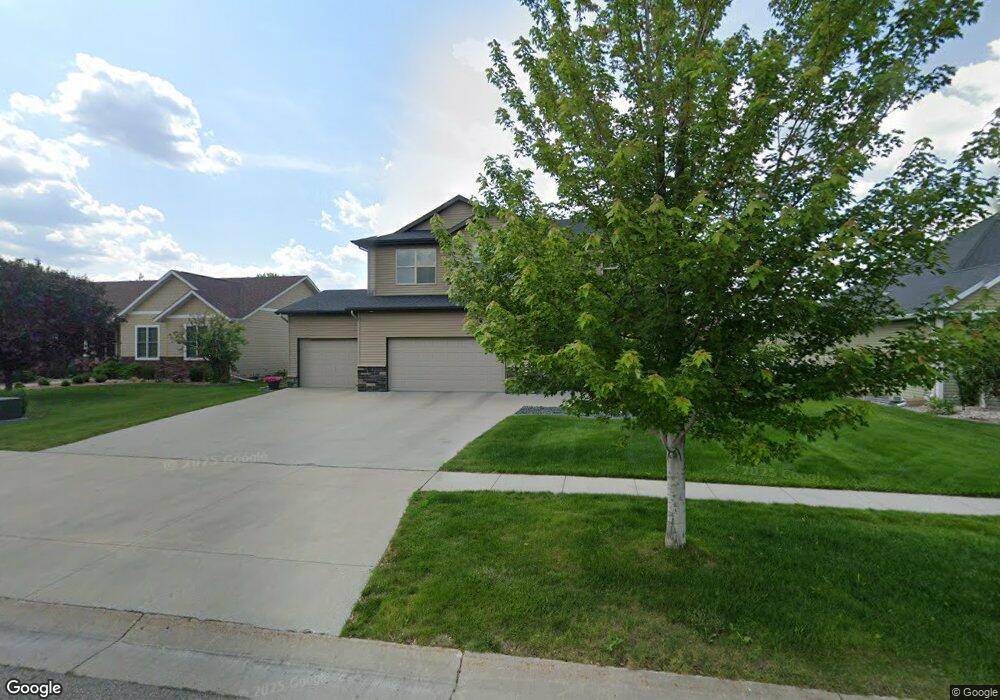
1820 7th St E West Fargo, ND 58078
Charleswood NeighborhoodEstimated Value: $659,000 - $766,135
4
Beds
3
Baths
2,588
Sq Ft
$275/Sq Ft
Est. Value
About This Home
This home is located at 1820 7th St E, West Fargo, ND 58078 and is currently estimated at $712,568, approximately $275 per square foot. 1820 7th St E is a home located in Cass County with nearby schools including South Elementary School, Cheney Middle School, and West Fargo High School.
Ownership History
Date
Name
Owned For
Owner Type
Purchase Details
Closed on
Feb 24, 2012
Sold by
Heritage Homes Llc
Bought by
Holstad Chris and Holstad Amy
Current Estimated Value
Home Financials for this Owner
Home Financials are based on the most recent Mortgage that was taken out on this home.
Original Mortgage
$280,000
Outstanding Balance
$192,340
Interest Rate
3.87%
Mortgage Type
New Conventional
Estimated Equity
$520,228
Create a Home Valuation Report for This Property
The Home Valuation Report is an in-depth analysis detailing your home's value as well as a comparison with similar homes in the area
Home Values in the Area
Average Home Value in this Area
Purchase History
| Date | Buyer | Sale Price | Title Company |
|---|---|---|---|
| Holstad Chris | $360,514 | None Available |
Source: Public Records
Mortgage History
| Date | Status | Borrower | Loan Amount |
|---|---|---|---|
| Open | Holstad Chris | $280,000 |
Source: Public Records
Tax History
| Year | Tax Paid | Tax Assessment Tax Assessment Total Assessment is a certain percentage of the fair market value that is determined by local assessors to be the total taxable value of land and additions on the property. | Land | Improvement |
|---|---|---|---|---|
| 2024 | $6,623 | $253,950 | $44,050 | $209,900 |
| 2023 | $6,814 | $241,150 | $44,050 | $197,100 |
| 2022 | $6,949 | $235,850 | $44,050 | $191,800 |
| 2021 | $6,157 | $199,300 | $39,400 | $159,900 |
| 2020 | $5,790 | $193,500 | $39,400 | $154,100 |
| 2019 | $5,789 | $200,400 | $39,400 | $161,000 |
| 2018 | $5,499 | $198,750 | $39,400 | $159,350 |
| 2017 | $5,367 | $200,350 | $39,400 | $160,950 |
| 2016 | $4,804 | $196,750 | $39,400 | $157,350 |
| 2015 | $5,132 | $195,100 | $32,800 | $162,300 |
| 2014 | $2,859 | $182,350 | $32,800 | $149,550 |
| 2013 | $2,905 | $107,350 | $32,800 | $74,550 |
Source: Public Records
Map
Nearby Homes
- 1811 7th St E
- 1827 7th St E
- 1929 Pentland St
- 715 Northridge Way
- 790 Lakeridge Dr
- 868 Lakeridge Place
- 118 W Beaton Dr
- 722 14 1 2 Ave E
- 783 14 1 2 Ave E
- 1755 Huntington Dr
- 1409 Heatherwood Ct
- 1829 13th St E
- 1550 Sheyenne St
- 306 13th Ave E
- 1884 Huntington Ln
- 602 12 1 2 Ave E Unit 5
- 430 19th Ave W Unit A
- 245 12th Ave E
- 2432 Mcleod Dr E
- 622 12th Ave E
- 1828 7th St E
- 1812 7th St E
- 1817 Pentland St
- 1825 Pentland St
- 1836 7th St E
- 1833 Pentland St
- 1819 7th St E
- 1844 7th St E
- 1811 7 St
- 676 18th Ave E
- 670 18th Ave E
- 682 18th Ave E
- 664 18th Ave E
- 1841 Pentland St
- 1843 7th St E
- 686 18th Ave E
- 658 18th Ave E
- TEST Test Ct S
- TEST Test Ct S Unit B
- 1908 7th St E
Your Personal Tour Guide
Ask me questions while you tour the home.