Estimated Value: $169,000 - $194,000
3
Beds
1
Bath
1,650
Sq Ft
$111/Sq Ft
Est. Value
About This Home
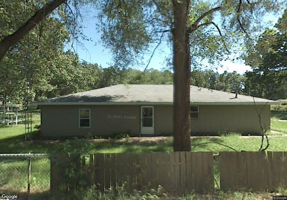
This home is located at 1820 E Bertrand Rd, Niles, MI 49120 and is currently estimated at $182,517, approximately $110 per square foot. 1820 E Bertrand Rd is a home located in Berrien County with nearby schools including Merritt Elementary School, Brandywine Elementary School, and Brandywine Middle School.
Ownership History
Date
Name
Owned For
Owner Type
Purchase Details
Closed on
Dec 4, 2008
Sold by
Salfer Eric L
Bought by
Federal Home Loan Mortgage Corp
Current Estimated Value
Purchase Details
Closed on
Jul 6, 2006
Sold by
Blake George Alan
Bought by
Jpmorgan Chase Bank
Purchase Details
Closed on
Dec 12, 2003
Sold by
Blake George A
Bought by
Ewert Maynard
Purchase Details
Closed on
May 19, 2003
Sold by
Hart Danny and Hart Katherine E
Bought by
Blake George Alan
Create a Home Valuation Report for This Property
The Home Valuation Report is an in-depth analysis detailing your home's value as well as a comparison with similar homes in the area
Home Values in the Area
Average Home Value in this Area
Purchase History
| Date | Buyer | Sale Price | Title Company |
|---|---|---|---|
| Federal Home Loan Mortgage Corp | $77,202 | None Available | |
| Jpmorgan Chase Bank | $56,000 | None Available | |
| Ewert Maynard | -- | -- | |
| Blake George Alan | -- | -- |
Source: Public Records
Tax History Compared to Growth
Tax History
| Year | Tax Paid | Tax Assessment Tax Assessment Total Assessment is a certain percentage of the fair market value that is determined by local assessors to be the total taxable value of land and additions on the property. | Land | Improvement |
|---|---|---|---|---|
| 2025 | $2,307 | $72,700 | $0 | $0 |
| 2024 | $1,845 | $74,300 | $0 | $0 |
| 2023 | $1,758 | $66,800 | $0 | $0 |
| 2022 | $1,678 | $61,400 | $0 | $0 |
| 2021 | $1,972 | $54,700 | $10,100 | $44,600 |
| 2020 | $1,956 | $51,200 | $0 | $0 |
| 2019 | $2,266 | $44,700 | $10,100 | $34,600 |
| 2018 | $2,195 | $44,700 | $0 | $0 |
| 2017 | $2,171 | $42,600 | $0 | $0 |
| 2016 | $2,147 | $41,300 | $0 | $0 |
| 2015 | $2,104 | $38,700 | $0 | $0 |
| 2014 | $1,483 | $39,000 | $0 | $0 |
Source: Public Records
Map
Nearby Homes
- 2751 West St
- 2711 Sugarberry Ln
- 2723 Sugarberry Ln
- 2801 Primrose Ct
- 2762 Sugarberry Ln Unit 84
- 70700 Ironwood Dr
- 2006 Ontario Rd Unit 78
- 2408 S 16th St
- VL Washington St
- 70170 Ironwood Dr
- 0 Fulkerson Rd
- VL Fulkerson Rd
- 33764 Judy Ln
- 1110 Dewitt Ave
- 33363 Bertrand St
- 3030 S 13th St
- 70661 Dennis Dr
- 321 E Bertrand Rd
- 2639 S 3rd St
- 50539 Parian Ave
- 1816 E Bertrand Rd
- 1900 E Bertrand Rd
- 2713 Inez Ct
- 1810 E Bertrand Rd
- 1908 E Bertrand Rd
- 1903 E Bertrand Rd
- 1825 E Bertrand Rd
- 1804 E Bertrand Rd
- 1912 E Bertrand Rd
- 1804 B__1x Bertrand
- 1811 E Bertrand Rd
- 2708 Reynolds St
- 1807 E Bertrand Rd
- 2712 Reynolds St
- 1916 E Bertrand Rd
- 2714 Reynolds St
- 1913 E Bertrand Rd
- 1724 E Bertrand Rd
- 2718 Reynolds St
- 0 Reynolds St