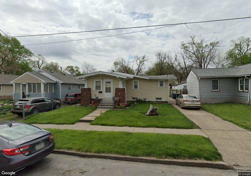
1820 Franklin Ave Des Moines, IA 50314
Mondamin Presidential NeighborhoodEstimated Value: $79,000 - $131,000
2
Beds
1
Bath
799
Sq Ft
$137/Sq Ft
Est. Value
About This Home
This home is located at 1820 Franklin Ave, Des Moines, IA 50314 and is currently estimated at $109,719, approximately $137 per square foot. 1820 Franklin Ave is a home located in Polk County with nearby schools including Monroe Elementary School, Meredith Middle School, and Hoover High School.
Ownership History
Date
Name
Owned For
Owner Type
Purchase Details
Closed on
Feb 13, 2003
Sold by
Steele James B
Bought by
Steele Claudia M
Current Estimated Value
Purchase Details
Closed on
Jul 18, 2001
Sold by
Hod Zeev and Hod Nava
Bought by
Steele James B and Steele Claudie M
Home Financials for this Owner
Home Financials are based on the most recent Mortgage that was taken out on this home.
Original Mortgage
$40,500
Outstanding Balance
$15,698
Interest Rate
7.22%
Estimated Equity
$94,021
Create a Home Valuation Report for This Property
The Home Valuation Report is an in-depth analysis detailing your home's value as well as a comparison with similar homes in the area
Home Values in the Area
Average Home Value in this Area
Purchase History
| Date | Buyer | Sale Price | Title Company |
|---|---|---|---|
| Steele Claudia M | -- | -- | |
| Steele James B | $40,500 | -- |
Source: Public Records
Mortgage History
| Date | Status | Borrower | Loan Amount |
|---|---|---|---|
| Open | Steele James B | $40,500 |
Source: Public Records
Tax History Compared to Growth
Tax History
| Year | Tax Paid | Tax Assessment Tax Assessment Total Assessment is a certain percentage of the fair market value that is determined by local assessors to be the total taxable value of land and additions on the property. | Land | Improvement |
|---|---|---|---|---|
| 2025 | $1,036 | $74,000 | $13,700 | $60,300 |
| 2024 | $1,036 | $63,100 | $11,700 | $51,400 |
| 2023 | $864 | $63,100 | $11,700 | $51,400 |
| 2022 | $854 | $45,500 | $8,900 | $36,600 |
| 2021 | $1,004 | $45,500 | $8,900 | $36,600 |
| 2020 | $1,042 | $40,200 | $7,900 | $32,300 |
| 2019 | $980 | $40,200 | $7,900 | $32,300 |
| 2018 | $972 | $36,500 | $7,100 | $29,400 |
| 2017 | $988 | $36,500 | $7,100 | $29,400 |
| 2016 | $962 | $36,500 | $7,100 | $29,400 |
| 2015 | $962 | $36,500 | $7,100 | $29,400 |
| 2014 | $986 | $38,500 | $8,200 | $30,300 |
Source: Public Records
Map
Nearby Homes
- 1946 Franklin Ave
- 1716 Mondamin Ave
- 1656 Martin Luther King Junior Pkwy
- 1902 Francis Ave
- 1608 Mondamin Ave
- 1622 Martin Luther King Junior Pkwy
- 2103 Washington Ave
- 1925 Francis Ave
- 1915 22nd St
- 1534 18th St
- 1334 Washington Ave
- 1605 22nd St
- 1603 Clark St
- 2014 23rd St
- 1457 17th St
- 1559 23rd St
- 00 24th St
- 1434 Martin Luther King Junior Pkwy
- 1429 Martin Luther King jr Pkwy
- 1341 Clark St
- 1824 Franklin Ave
- 1818 Franklin Ave
- 1814 Franklin Ave
- 1828 Franklin Ave
- 1821 Jefferson Ave
- 1900 Franklin Ave
- 1806 Franklin Ave
- 1827 Jefferson Ave
- 1819 Jefferson Ave
- 1901 Jefferson Ave
- 1815 Jefferson Ave
- 1823 Franklin Ave
- 1825 Franklin Ave
- 1819 Franklin Ave
- 1902 Franklin Ave
- 1804 Franklin Ave
- 1827 Franklin Ave
- 1817 Franklin Ave
- 1905 Jefferson Ave
- 1811 Jefferson Ave