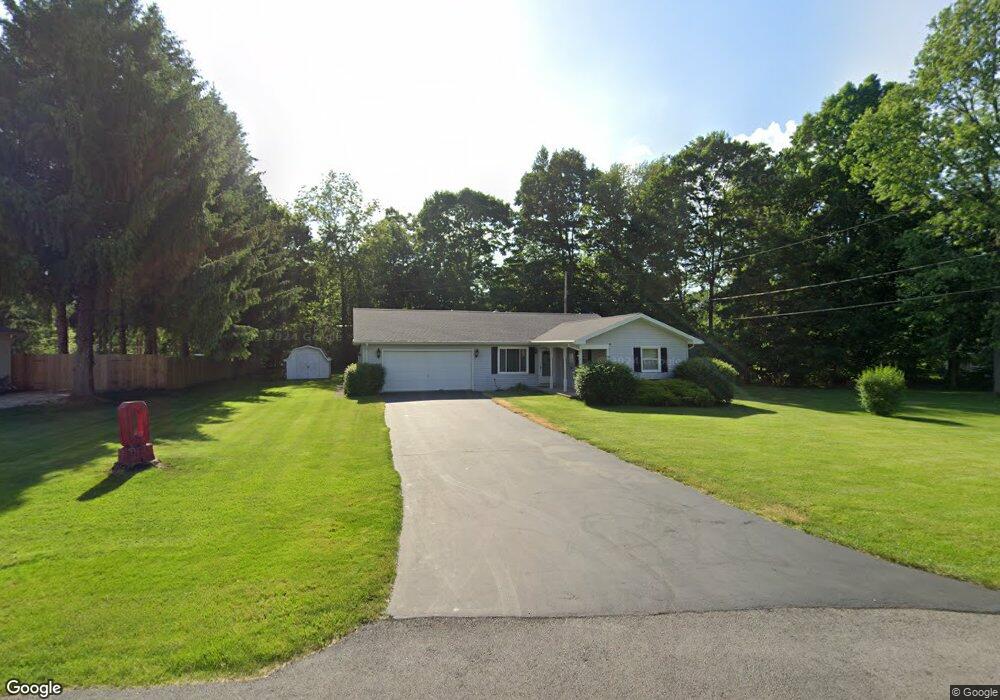
1820 Guernsey Dr Fremont, OH 43420
Estimated Value: $209,000 - $243,905
3
Beds
2
Baths
1,490
Sq Ft
$155/Sq Ft
Est. Value
About This Home
This home is located at 1820 Guernsey Dr, Fremont, OH 43420 and is currently estimated at $231,476, approximately $155 per square foot. 1820 Guernsey Dr is a home located in Sandusky County with nearby schools including Fremont Ross High School, Bishop Hoffman Catholic School - This is St Joe's School now, and St. Joseph School.
Ownership History
Date
Name
Owned For
Owner Type
Purchase Details
Closed on
Apr 24, 1995
Sold by
Miller Francis D
Bought by
Walter Jane L
Current Estimated Value
Home Financials for this Owner
Home Financials are based on the most recent Mortgage that was taken out on this home.
Original Mortgage
$70,000
Interest Rate
8.64%
Mortgage Type
New Conventional
Create a Home Valuation Report for This Property
The Home Valuation Report is an in-depth analysis detailing your home's value as well as a comparison with similar homes in the area
Home Values in the Area
Average Home Value in this Area
Purchase History
| Date | Buyer | Sale Price | Title Company |
|---|---|---|---|
| Walter Jane L | $93,000 | -- |
Source: Public Records
Mortgage History
| Date | Status | Borrower | Loan Amount |
|---|---|---|---|
| Previous Owner | Walter Jane L | $70,000 |
Source: Public Records
Tax History Compared to Growth
Tax History
| Year | Tax Paid | Tax Assessment Tax Assessment Total Assessment is a certain percentage of the fair market value that is determined by local assessors to be the total taxable value of land and additions on the property. | Land | Improvement |
|---|---|---|---|---|
| 2024 | $2,382 | $71,050 | $17,080 | $53,970 |
| 2023 | $2,382 | $49,670 | $11,940 | $37,730 |
| 2022 | $1,699 | $49,670 | $11,940 | $37,730 |
| 2021 | $1,751 | $49,670 | $11,940 | $37,730 |
| 2020 | $1,696 | $47,570 | $11,940 | $35,630 |
| 2019 | $1,694 | $47,570 | $11,940 | $35,630 |
| 2018 | $1,648 | $47,570 | $11,940 | $35,630 |
| 2017 | $1,459 | $42,920 | $11,940 | $30,980 |
| 2016 | $1,279 | $42,920 | $11,940 | $30,980 |
| 2015 | $1,258 | $42,920 | $11,940 | $30,980 |
| 2014 | $1,255 | $41,410 | $10,750 | $30,660 |
| 2013 | $1,228 | $41,410 | $10,750 | $30,660 |
Source: Public Records
Map
Nearby Homes
- 350 Conner Dr
- 1818 Finley Dr
- 1970 Morrison Rd
- 135 Briarwood Cir
- 1832 Myrtle St
- 10 Meadowbrook Ln
- 10 Meadowbrook Dr
- 64 River Run Dr Unit J
- 1420 Center St
- 18 Katlyn Dr
- 933 E Cole Rd
- 1013 Whittlesey St
- 905 Twinn St
- 1485 Autumn Woods Dr
- 1719 Buckland Ave
- 625 Bush Place
- 1028 June St
- 815 South St
- 616 S Wood St
- 2484 Buckland Ave
- 1840 Guernsey Dr
- 600 Guernsey Dr
- 1837 Guernsey Dr
- 1850 Guernsey Dr
- 701 W Cole Rd
- 1849 Guernsey Dr
- 809 W Cole Rd
- 512 Guernsey Dr
- 509 Guernsey Dr
- 1904 Guernsey Dr
- 512 Conner Dr
- 603 W Cole Rd
- 603 W Cole Rd
- 503 Guernsey Dr
- 1908 Guernsey Dr
- 513 W Cole Rd
- 621 Conner Dr
- 500 Guernsey Dr
- 502 Conner Dr
- 1810 Edgeworth Dr