1820 Minebank Rd Strasburg, VA 22657
Estimated Value: $247,000 - $387,000
2
Beds
1
Bath
2,261
Sq Ft
$141/Sq Ft
Est. Value
About This Home
This home is located at 1820 Minebank Rd, Strasburg, VA 22657 and is currently estimated at $317,824, approximately $140 per square foot. 1820 Minebank Rd is a home located in Shenandoah County with nearby schools including Sandy Hook Elementary School, Signal Knob Middle School, and Strasburg High School.
Ownership History
Date
Name
Owned For
Owner Type
Purchase Details
Closed on
Jan 25, 2022
Sold by
Dorick Stephen J and Dorick Lucy B
Bought by
Helsley Wayne and Helsley Dorie
Current Estimated Value
Home Financials for this Owner
Home Financials are based on the most recent Mortgage that was taken out on this home.
Original Mortgage
$223,850
Outstanding Balance
$207,016
Interest Rate
3.22%
Mortgage Type
New Conventional
Estimated Equity
$110,808
Create a Home Valuation Report for This Property
The Home Valuation Report is an in-depth analysis detailing your home's value as well as a comparison with similar homes in the area
Home Values in the Area
Average Home Value in this Area
Purchase History
| Date | Buyer | Sale Price | Title Company |
|---|---|---|---|
| Helsley Wayne | $220,000 | Keith Richards Pc |
Source: Public Records
Mortgage History
| Date | Status | Borrower | Loan Amount |
|---|---|---|---|
| Open | Helsley Wayne | $223,850 |
Source: Public Records
Tax History Compared to Growth
Tax History
| Year | Tax Paid | Tax Assessment Tax Assessment Total Assessment is a certain percentage of the fair market value that is determined by local assessors to be the total taxable value of land and additions on the property. | Land | Improvement |
|---|---|---|---|---|
| 2025 | $1,603 | $250,500 | $100,000 | $150,500 |
| 2024 | $1,603 | $250,500 | $100,000 | $150,500 |
| 2023 | $1,503 | $250,500 | $100,000 | $150,500 |
| 2022 | $1,453 | $250,500 | $100,000 | $150,500 |
| 2021 | $1,089 | $157,800 | $76,700 | $81,100 |
| 2020 | $1,010 | $157,800 | $76,700 | $81,100 |
| 2019 | $1,010 | $157,800 | $76,700 | $81,100 |
| 2018 | $1,010 | $157,800 | $76,700 | $81,100 |
| 2017 | $947 | $157,800 | $76,700 | $81,100 |
| 2016 | $947 | $157,800 | $76,700 | $81,100 |
| 2015 | -- | $153,800 | $76,700 | $77,100 |
| 2014 | -- | $153,800 | $76,700 | $77,100 |
Source: Public Records
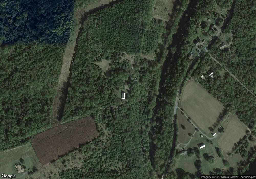
Map
Nearby Homes
- 1115 Chapel Rd
- 190 Newell Dr
- Lot 2, 3, 13 Radio Station Rd
- 572 Red Bud Rd
- 7189 Middle Rd
- The Cleveland Plan at Winchester
- The Rockford Plan at Winchester
- 77 Signal Knob Cottage Dr
- 2432 Laurel Ln
- 2085 Chapel Rd
- 2425 Third St
- 102 Midsummer Ln
- 100 Midsummer Ln
- Onyx Plan at Middletown Place - Seasons
- Coral Plan at Middletown Place - Seasons
- 177 Oxbow Dr
- 33407 Old Valley Pike
- 104 Midsummer Ln
- 106 Midsummer Ln
- 103 Williams St
- 1664 Minebank Rd
- 1603 Minebank Rd
- 1622 Minebank Rd
- 1691 Minebank Rd
- 1689 Minebank Rd
- 1595 Minebank Rd
- 1600 Minebank Rd
- 1895 Minebank Rd
- 1416 Minebank Road Parcel A
- 1528 Minebank Rd
- 1869 Minebank Rd
- 1601 Minebank Rd
- 1516 Minebank Rd
- 501 Cedar Berry Dr
- 185 Spiker Ln
- 1498 Minebank Rd
- 205 Spiker Ln
- 149 Spiker Ln
- 121 Spiker Ln
- 286 Spiker Ln