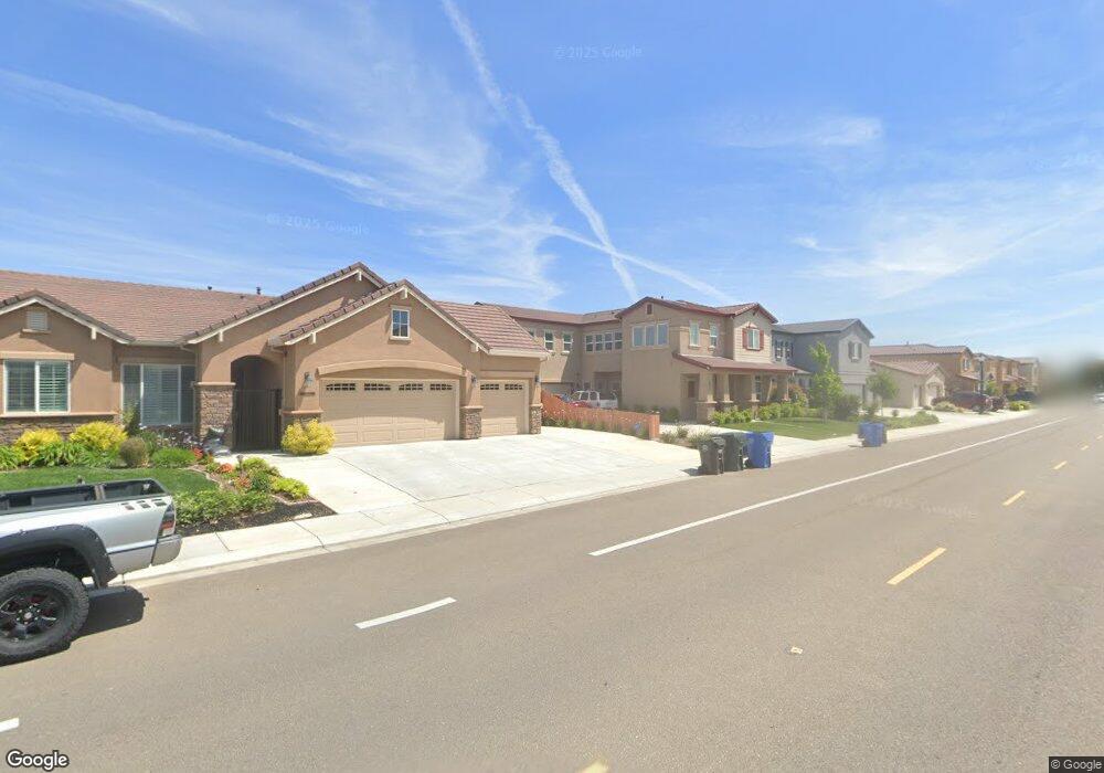
1820 Oleander Ave Manteca, CA 95337
Estimated Value: $593,160 - $669,000
4
Beds
2
Baths
1,928
Sq Ft
$328/Sq Ft
Est. Value
About This Home
This home is located at 1820 Oleander Ave, Manteca, CA 95337 and is currently estimated at $631,790, approximately $327 per square foot. 1820 Oleander Ave is a home with nearby schools including Nile Garden Elementary School and Sierra High School.
Ownership History
Date
Name
Owned For
Owner Type
Purchase Details
Closed on
Oct 13, 2025
Sold by
Manongsong Roy R and Manongsong Marizel C
Bought by
Manongsong Family Trust and Manongsong
Current Estimated Value
Purchase Details
Closed on
Jun 11, 2015
Sold by
Oleander Lp
Bought by
Manongsong Roy R and Manongsong Marizel
Home Financials for this Owner
Home Financials are based on the most recent Mortgage that was taken out on this home.
Original Mortgage
$299,509
Interest Rate
3.64%
Mortgage Type
FHA
Create a Home Valuation Report for This Property
The Home Valuation Report is an in-depth analysis detailing your home's value as well as a comparison with similar homes in the area
Purchase History
| Date | Buyer | Sale Price | Title Company |
|---|---|---|---|
| Manongsong Family Trust | -- | None Listed On Document | |
| Manongsong Roy R | $369,500 | Placer Title Company |
Source: Public Records
Mortgage History
| Date | Status | Borrower | Loan Amount |
|---|---|---|---|
| Previous Owner | Manongsong Roy R | $299,509 |
Source: Public Records
Tax History
| Year | Tax Paid | Tax Assessment Tax Assessment Total Assessment is a certain percentage of the fair market value that is determined by local assessors to be the total taxable value of land and additions on the property. | Land | Improvement |
|---|---|---|---|---|
| 2025 | $5,222 | $449,171 | $155,314 | $293,857 |
| 2024 | $5,085 | $440,365 | $152,269 | $288,096 |
| 2023 | $4,909 | $426,530 | $149,284 | $277,246 |
| 2022 | $4,810 | $418,167 | $146,357 | $271,810 |
| 2021 | $4,747 | $409,969 | $143,488 | $266,481 |
| 2020 | $4,565 | $405,766 | $142,017 | $263,749 |
| 2019 | $4,498 | $397,811 | $139,233 | $258,578 |
| 2018 | $4,452 | $390,011 | $136,503 | $253,508 |
| 2017 | $4,383 | $382,365 | $133,827 | $248,538 |
| 2016 | $4,275 | $374,870 | $131,204 | $243,666 |
| 2014 | -- | $17,700 | $17,700 | $0 |
Source: Public Records
Map
Nearby Homes
- 1730 W Woodward Ave
- 1676 Red Ribbons Ln
- 1808 Tiki Ave
- 2883 Pixley Ct
- 3095 Tower St
- 3052 Russos Dr
- 2004 Ravine Ln
- 1444 Meridian St
- 1432 Meridian St
- 1957 W Woodward Ave
- 1290 Nascimento Ct
- 2178 Al Fonseca Ln
- 1852 Lovejoy Ave
- 1818 Lovejoy Ave
- 1887 Lovejoy Ave
- 1836 Lovejoy Ave
- 1903 Lovejoy Ave
- 1980 Carogold Ln
- 1025 Barbados St
- 1176 Junction Dr
- 1836 Oleander Ave
- 1692 W Woodward Ave
- 1850 Oleander Ave
- 1839 Keppel Way
- 1676 W Woodward Ave
- 1675 Toy St
- 1821 Oleander Ave
- 1837 Oleander Ave
- 1853 Keppel Way
- 1864 Oleander Ave
- 1660 W Woodward Ave
- 1706 W Woodward Ave
- 1851 Oleander Ave
- 1653 Toy St
- 1871 Keppel Way
- 1714 W Woodward Ave
- 1880 Oleander Ave
- 1865 Oleander Ave
- 1644 W Woodward Ave
- 1637 Toy St
Your Personal Tour Guide
Ask me questions while you tour the home.