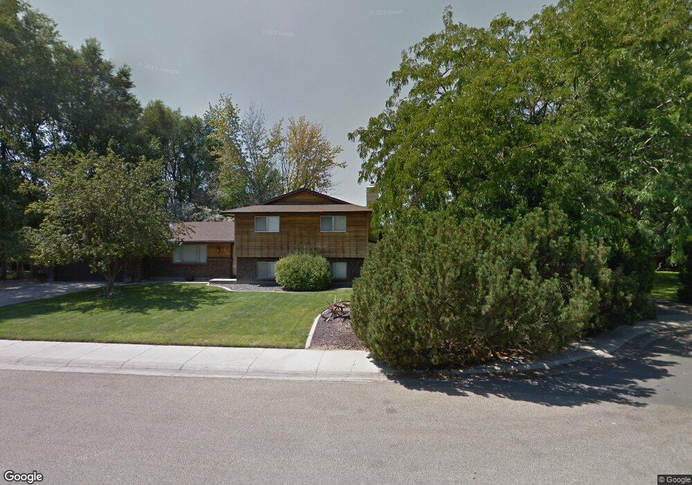
1820 S Mayflower Way Boise, ID 83709
Southwest Boise NeighborhoodEstimated Value: $551,000 - $665,000
3
Beds
2
Baths
1,954
Sq Ft
$321/Sq Ft
Est. Value
About This Home
This home is located at 1820 S Mayflower Way, Boise, ID 83709 and is currently estimated at $627,011, approximately $320 per square foot. 1820 S Mayflower Way is a home located in Ada County with nearby schools including Pepper Ridge Elementary, Lewis & Clark Middle School, and Mountain View High School.
Ownership History
Date
Name
Owned For
Owner Type
Purchase Details
Closed on
May 7, 1999
Sold by
Shyrer Stephan C and Shyrer Maria S
Bought by
Wright Cliff M and Shryer Stephanie L
Current Estimated Value
Home Financials for this Owner
Home Financials are based on the most recent Mortgage that was taken out on this home.
Original Mortgage
$110,000
Outstanding Balance
$28,234
Interest Rate
6.96%
Mortgage Type
Purchase Money Mortgage
Estimated Equity
$598,777
Create a Home Valuation Report for This Property
The Home Valuation Report is an in-depth analysis detailing your home's value as well as a comparison with similar homes in the area
Home Values in the Area
Average Home Value in this Area
Purchase History
| Date | Buyer | Sale Price | Title Company |
|---|---|---|---|
| Wright Cliff M | -- | Pioneer Title Company |
Source: Public Records
Mortgage History
| Date | Status | Borrower | Loan Amount |
|---|---|---|---|
| Open | Wright Cliff M | $110,000 |
Source: Public Records
Tax History Compared to Growth
Tax History
| Year | Tax Paid | Tax Assessment Tax Assessment Total Assessment is a certain percentage of the fair market value that is determined by local assessors to be the total taxable value of land and additions on the property. | Land | Improvement |
|---|---|---|---|---|
| 2025 | $3,116 | $630,700 | -- | -- |
| 2024 | $3,001 | $594,300 | -- | -- |
| 2023 | $3,001 | $554,300 | $0 | $0 |
| 2022 | $3,826 | $689,800 | $0 | $0 |
| 2021 | $2,915 | $456,200 | $0 | $0 |
| 2020 | $2,944 | $394,100 | $0 | $0 |
| 2019 | $3,357 | $361,500 | $0 | $0 |
| 2018 | $3,042 | $313,600 | $0 | $0 |
| 2017 | $2,800 | $283,900 | $0 | $0 |
| 2016 | $2,563 | $258,900 | $0 | $0 |
| 2015 | $2,391 | $250,300 | $0 | $0 |
| 2012 | -- | $187,500 | $0 | $0 |
Source: Public Records
Map
Nearby Homes
- 12158 W Silverking Ct
- 4216 Woodmurra St
- 4202 Woodmurra St
- 4187 E Blueberry St
- 4132 E Silverking Ln
- 4498 E Goldstone Dr
- 4140 E Goldstone Dr
- 11899 W Blueberry Ct
- 12410 W Lewisburg Dr
- 3970 E Overland Rd
- 12152 W Lewisburg Ct
- 4535 E Copper Point Dr
- 3820 E Overland Rd
- 1400 S Jade Ave
- 11829 W Camas St
- 1340 Jade Ave
- 2359 S Rushmore Ct
- 11505 W Baserri Dr
- 2679 S Tristram Way
- 1285 S Jade Ave
- 1860 S Mayflower Way
- 1780 S Mayflower Way
- 1865 S Mayflower Way
- 1740 S Mayflower Way
- 1920 S Mayflower Way
- 12342 W Armga Dr
- 1905 S Mayflower Way
- 1944 S Mayflower Way
- 12303 W Armga Dr
- 12306 W Armga Dr
- 12535 & 12319 W Overland Rd
- 12460 W Silverking St
- 12448 W Silverking St
- 12400 W Silverking St
- 1945 S Mayflower Way
- 12466 W Silverking St
- 12376 W Silverking St
- 4266 W Silverking St
- 4231 W Silverking St
- 12352 W Silverking St