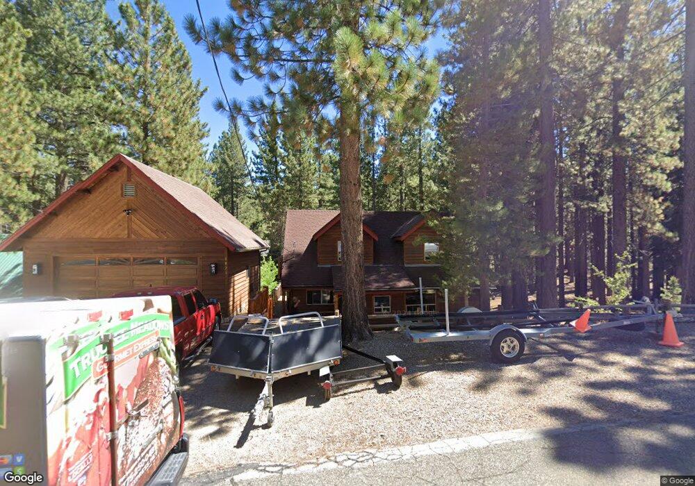
1821 Grizzly Mountain Dr South Lake Tahoe, CA 96150
Estimated Value: $936,794 - $1,071,000
4
Beds
3
Baths
3,064
Sq Ft
$326/Sq Ft
Est. Value
About This Home
This home is located at 1821 Grizzly Mountain Dr, South Lake Tahoe, CA 96150 and is currently estimated at $997,949, approximately $325 per square foot. 1821 Grizzly Mountain Dr is a home located in El Dorado County with nearby schools including Tahoe Valley Elementary School, South Tahoe Middle School, and South Tahoe High School.
Ownership History
Date
Name
Owned For
Owner Type
Purchase Details
Closed on
Jan 18, 1994
Sold by
Sproul Richard G
Bought by
Dean Michael and Cullen Tina Ann
Current Estimated Value
Home Financials for this Owner
Home Financials are based on the most recent Mortgage that was taken out on this home.
Original Mortgage
$133,951
Interest Rate
7.21%
Mortgage Type
FHA
Create a Home Valuation Report for This Property
The Home Valuation Report is an in-depth analysis detailing your home's value as well as a comparison with similar homes in the area
Home Values in the Area
Average Home Value in this Area
Purchase History
| Date | Buyer | Sale Price | Title Company |
|---|---|---|---|
| Dean Michael | $137,000 | Placer Title Company |
Source: Public Records
Mortgage History
| Date | Status | Borrower | Loan Amount |
|---|---|---|---|
| Closed | Dean Michael | $133,951 |
Source: Public Records
Tax History Compared to Growth
Tax History
| Year | Tax Paid | Tax Assessment Tax Assessment Total Assessment is a certain percentage of the fair market value that is determined by local assessors to be the total taxable value of land and additions on the property. | Land | Improvement |
|---|---|---|---|---|
| 2025 | $3,073 | $291,573 | $51,988 | $239,585 |
| 2024 | $3,073 | $285,857 | $50,969 | $234,888 |
| 2023 | $3,019 | $280,253 | $49,970 | $230,283 |
| 2022 | $2,988 | $274,759 | $48,991 | $225,768 |
| 2021 | $2,938 | $269,373 | $48,031 | $221,342 |
| 2020 | $2,899 | $266,612 | $47,539 | $219,073 |
| 2019 | $2,883 | $261,385 | $46,607 | $214,778 |
| 2018 | $2,819 | $256,261 | $45,694 | $210,567 |
| 2017 | $2,774 | $251,238 | $44,799 | $206,439 |
| 2016 | $2,717 | $246,313 | $43,921 | $202,392 |
| 2015 | $2,579 | $242,614 | $43,262 | $199,352 |
| 2014 | $2,579 | $237,863 | $42,415 | $195,448 |
Source: Public Records
Map
Nearby Homes
- 1836 Grizzly Mountain Dr
- 928 Kiowa Dr
- 715 Shoshone St
- 712 Seneca Dr
- 577 Cochise Cir
- 742 Kiowa Dr Unit 22
- 654 Tehama Dr
- 1741 Delaware St
- 1774 Delaware St
- 1820 Nez Perce Dr
- 1581 Estate Ct
- 1832 Nez Perce Dr
- 1828 Toppewetah St
- 511 Little Mountain Ln
- 1871 Normuk St
- 1894 Normuk St
- 1879 Pima St
- 1889 Normuk St
- 1885 Mewuk Dr
- 1966 Nez Perce Dr
- 1815 Grizzly Mountain Dr
- 1833 Grizzly Mountain Dr
- 1805 Grizzly Mountain Dr
- 888 Kiowa Dr
- 896 Kiowa Dr
- 1816 Grizzly Mountain Dr
- 1820 Grizzly Mountain Dr
- 1830 Grizzly Mountain Dr
- 1840 Grizzly Mountain Dr
- 1841 Grizzly Mountain Dr
- 1804 Grizzly Mountain Dr
- 686 Cayuga St
- 661 Cayuga Ct
- 891 Kiowa Dr
- 676 Cayuga St
- 1848 Grizzly Mountain Dr
- 899 Kiowa Dr
- 916 Kiowa Dr
- 907 Kiowa Dr
- 1854 Grizzly Mountain Dr