Estimated Value: $299,000 - $317,000
3
Beds
2
Baths
1,664
Sq Ft
$185/Sq Ft
Est. Value
About This Home
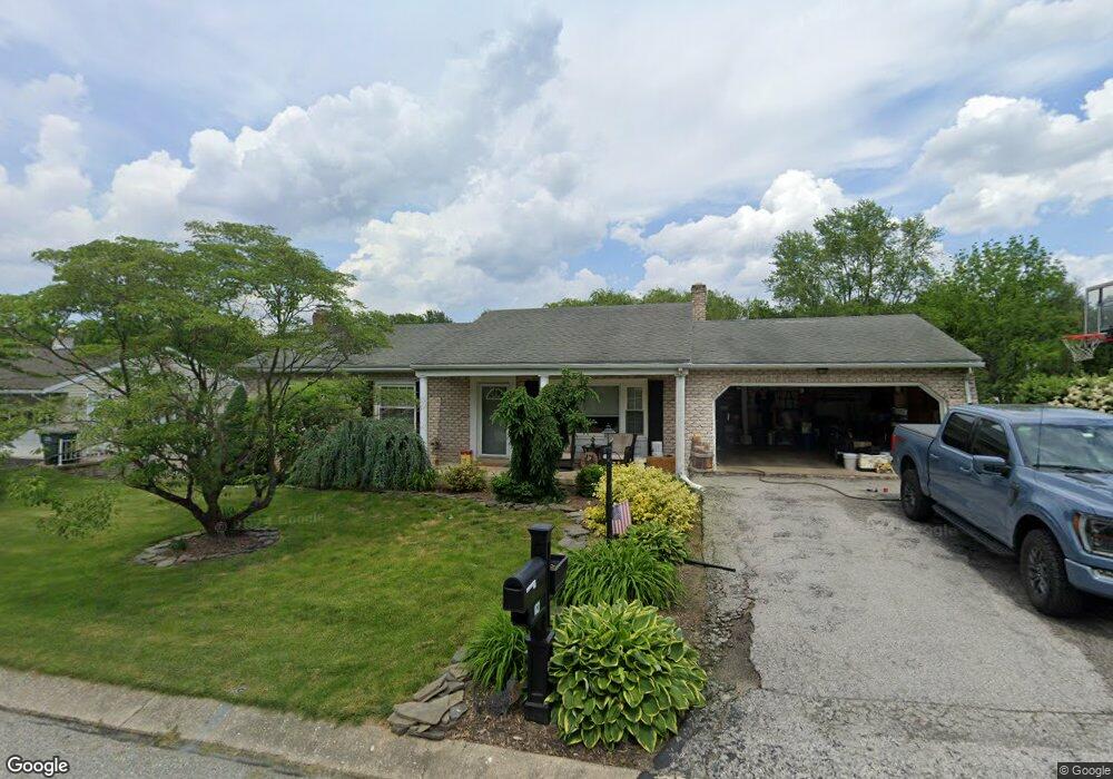
This home is located at 1821 Saratoga Rd, York, PA 17402 and is currently estimated at $307,775, approximately $184 per square foot. 1821 Saratoga Rd is a home located in York County with nearby schools including Leaders Heights Elementary School, Dallastown Area Middle School, and Dallastown Area High School.
Ownership History
Date
Name
Owned For
Owner Type
Purchase Details
Closed on
Apr 27, 2009
Sold by
Landis George E and Landis George E
Bought by
Engles Douglas G and Engles Shannon
Current Estimated Value
Home Financials for this Owner
Home Financials are based on the most recent Mortgage that was taken out on this home.
Original Mortgage
$169,005
Outstanding Balance
$107,240
Interest Rate
4.93%
Mortgage Type
Purchase Money Mortgage
Estimated Equity
$200,535
Purchase Details
Closed on
Apr 17, 1979
Bought by
Landis George E
Create a Home Valuation Report for This Property
The Home Valuation Report is an in-depth analysis detailing your home's value as well as a comparison with similar homes in the area
Home Values in the Area
Average Home Value in this Area
Purchase History
| Date | Buyer | Sale Price | Title Company |
|---|---|---|---|
| Engles Douglas G | $177,900 | None Available | |
| Landis George E | $68,500 | -- |
Source: Public Records
Mortgage History
| Date | Status | Borrower | Loan Amount |
|---|---|---|---|
| Open | Engles Douglas G | $169,005 |
Source: Public Records
Tax History Compared to Growth
Tax History
| Year | Tax Paid | Tax Assessment Tax Assessment Total Assessment is a certain percentage of the fair market value that is determined by local assessors to be the total taxable value of land and additions on the property. | Land | Improvement |
|---|---|---|---|---|
| 2025 | $4,595 | $133,860 | $39,390 | $94,470 |
| 2024 | $4,528 | $133,860 | $39,390 | $94,470 |
| 2023 | $4,528 | $133,860 | $39,390 | $94,470 |
| 2022 | $4,380 | $133,860 | $39,390 | $94,470 |
| 2021 | $4,172 | $133,860 | $39,390 | $94,470 |
| 2020 | $4,172 | $133,860 | $39,390 | $94,470 |
| 2019 | $4,159 | $133,860 | $39,390 | $94,470 |
| 2018 | $4,131 | $133,860 | $39,390 | $94,470 |
| 2017 | $3,966 | $133,860 | $39,390 | $94,470 |
| 2016 | $0 | $133,860 | $39,390 | $94,470 |
| 2015 | -- | $133,860 | $39,390 | $94,470 |
| 2014 | -- | $133,860 | $39,390 | $94,470 |
Source: Public Records
Map
Nearby Homes
- 119 Lexington Rd
- 1818 Roxboro Rd
- 146 Lexington Rd
- 30 Fox Run Dr
- 114 Dew Drop Ct Unit 114
- 1899 Powder Mill Rd Unit B
- 2214 S Queen St
- 2458 Schultz Way Unit 30
- 224 Wheatfield Way Unit 71D
- 229 Wheatfield Way Unit 76C
- 2505 Joppa Rd
- 245 Leaders Heights Rd
- 189 Tuscarora Dr
- 553 Green Spring Rd
- 110 Oak Ridge Ln Unit 110
- 109 Lyle Cir
- 1903 Woodland Rd
- 2415 Emiray Ct
- 215 Wyntre Brooke Dr Unit 1
- 519 Middleview Dr
- 1817 Saratoga Rd
- 167 Walter Rd
- 1813 Saratoga Rd
- 1818 Saratoga Rd
- 1814 Saratoga Rd
- 163 Walter Rd
- 168 Walter Rd
- 1810 Saratoga Rd
- 170 Walter Rd
- 1811 Saratoga Rd
- 122 Lexington Rd
- 162 Walter Rd
- 120 Lexington Rd
- 1806 Saratoga Rd
- 1821 Roxboro Rd
- 1817 Roxboro Rd
- 1809 Saratoga Rd
- 118 Lexington Rd
- 1825 Roxboro Rd
- 109 Townsend Ct