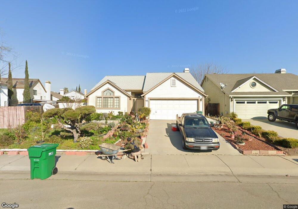
1821 Whitney St Stockton, CA 95210
Valley Oak NeighborhoodEstimated Value: $209,000 - $434,000
3
Beds
2
Baths
1,293
Sq Ft
$267/Sq Ft
Est. Value
About This Home
This home is located at 1821 Whitney St, Stockton, CA 95210 and is currently estimated at $344,882, approximately $266 per square foot. 1821 Whitney St is a home located in San Joaquin County with nearby schools including George W. Bush Elementary School, Rio Calaveras Elementary School, and Valentine Peyton Elementary School.
Ownership History
Date
Name
Owned For
Owner Type
Purchase Details
Closed on
Jul 2, 2019
Sold by
Elgar Emma Sajuela and Elgar Heldelita Sajula
Bought by
Sajuela Elgar Emma and Sajuela Emma Elgar Revocable T
Current Estimated Value
Home Financials for this Owner
Home Financials are based on the most recent Mortgage that was taken out on this home.
Original Mortgage
$48,851
Interest Rate
3.9%
Mortgage Type
Seller Take Back
Create a Home Valuation Report for This Property
The Home Valuation Report is an in-depth analysis detailing your home's value as well as a comparison with similar homes in the area
Home Values in the Area
Average Home Value in this Area
Purchase History
| Date | Buyer | Sale Price | Title Company |
|---|---|---|---|
| Sajuela Elgar Emma | -- | None Available | |
| Sajuela Elgar Emma | -- | None Available |
Source: Public Records
Mortgage History
| Date | Status | Borrower | Loan Amount |
|---|---|---|---|
| Closed | Sajuela Elgar Emma | $48,851 |
Source: Public Records
Tax History Compared to Growth
Tax History
| Year | Tax Paid | Tax Assessment Tax Assessment Total Assessment is a certain percentage of the fair market value that is determined by local assessors to be the total taxable value of land and additions on the property. | Land | Improvement |
|---|---|---|---|---|
| 2025 | $2,415 | $202,792 | $82,760 | $120,032 |
| 2024 | $2,376 | $198,817 | $81,138 | $117,679 |
| 2023 | $2,321 | $194,920 | $79,548 | $115,372 |
| 2022 | $2,303 | $191,099 | $77,989 | $113,110 |
| 2021 | $2,211 | $187,353 | $76,460 | $110,893 |
| 2020 | $2,253 | $185,432 | $75,676 | $109,756 |
| 2019 | $2,242 | $181,797 | $74,193 | $107,604 |
| 2018 | $2,199 | $178,234 | $72,739 | $105,495 |
| 2017 | $2,082 | $174,740 | $71,313 | $103,427 |
| 2016 | $2,118 | $171,315 | $69,915 | $101,400 |
| 2014 | $1,807 | $149,000 | $45,000 | $104,000 |
Source: Public Records
Map
Nearby Homes
- 1864 Caleb Cir
- 1926 Shameran St
- 5831 Caribbean Cir
- 2208 Shameran St
- 6706 Tam o Shanter Dr Unit 66
- 6706 Tam o Shanter Dr Unit 61
- 6706 Tam O'Shanter Dr Unit 72
- 6706 Tam o Shanter Dr Unit 126
- 6706 Tam o Shanter Dr Unit 34
- 6706 Tam O'Shanter Dr Unit 58
- 6706 Tam o Shanter Dr Unit 45
- 6706 Tam O'Shanter Dr Unit 112
- 7238 Sharkon Ln
- 5816 Caribbean Cir
- 7028 Tristan Cir
- 1657 Knickerbocker Dr
- 1122 Morning Dew Place
- 7112 Tristan Cir
- 2442 Brandywine Ct
- 8110 Rouen Ct
- 1829 Whitney St
- 6604 Signal Peak Ct
- 6701 Saddle Rock Ct
- 6632 Signal Peak Ct
- 1837 Whitney St
- 6680 Signal Peak Ct
- 6702 Saddle Rock Ct
- 6747 Saddle Rock Ct
- 1814 Whitney St
- 1845 Whitney St
- 1822 Whitney St
- 1830 Whitney St
- 1806 Whitney St
- 6728 Saddle Rock Ct
- 1853 Whitney St
- 1838 Whitney St
- 6773 Saddle Rock Ct
- 1794 Whitney St
- 6603 Signal Peak Ct
- 1846 Whitney St