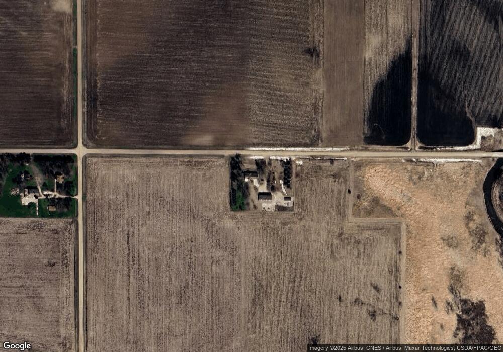
1822 620th St Newell, IA 50568
Estimated Value: $323,000 - $424,267
4
Beds
3
Baths
2,704
Sq Ft
$139/Sq Ft
Est. Value
About This Home
This home is located at 1822 620th St, Newell, IA 50568 and is currently estimated at $375,317, approximately $138 per square foot. 1822 620th St is a home located in Buena Vista County with nearby schools including Newell-Fonda Elementary School, Newell-Fonda Middle School, and Newell-Fonda High School.
Ownership History
Date
Name
Owned For
Owner Type
Purchase Details
Closed on
Jun 23, 2023
Sold by
Fletcher Family Living Trust
Bought by
Terry And Trudy Pedersen Trust and Pedersen
Current Estimated Value
Purchase Details
Closed on
May 16, 2012
Sold by
Fletcher Burdette G and Fletcher Karen D
Bought by
Fletcher Family Living Trust
Purchase Details
Closed on
Feb 1, 2001
Sold by
Fletcher Matt E and Fletcher Carol M
Bought by
Fletcher Family Revocable Trust
Create a Home Valuation Report for This Property
The Home Valuation Report is an in-depth analysis detailing your home's value as well as a comparison with similar homes in the area
Home Values in the Area
Average Home Value in this Area
Purchase History
| Date | Buyer | Sale Price | Title Company |
|---|---|---|---|
| Terry And Trudy Pedersen Trust | $395,000 | None Listed On Document | |
| Fletcher Family Living Trust | -- | None Available | |
| Fletcher Family Revocable Trust | -- | Gartin Timothy L |
Source: Public Records
Tax History Compared to Growth
Tax History
| Year | Tax Paid | Tax Assessment Tax Assessment Total Assessment is a certain percentage of the fair market value that is determined by local assessors to be the total taxable value of land and additions on the property. | Land | Improvement |
|---|---|---|---|---|
| 2024 | $4,362 | $340,150 | $26,330 | $313,820 |
| 2023 | $3,795 | $341,330 | $26,330 | $315,000 |
| 2022 | $3,486 | $261,000 | $26,330 | $234,670 |
| 2021 | $3,486 | $261,000 | $26,330 | $234,670 |
| 2020 | $3,215 | $231,150 | $20,250 | $210,900 |
| 2019 | $2,854 | $231,150 | $20,250 | $210,900 |
| 2018 | $2,850 | $209,040 | $21,060 | $187,980 |
| 2017 | $2,850 | $209,040 | $21,060 | $187,980 |
| 2016 | $2,710 | $199,730 | $21,060 | $178,670 |
| 2015 | $2,710 | $192,050 | $0 | $0 |
| 2014 | $2,564 | $192,050 | $0 | $0 |
Source: Public Records
Map
Nearby Homes
- 136 Cedar St
- 410 W 4th St
- 310 S Howard St
- 6057 210th Ave
- 110 Park St
- 108 Park St
- 201 Sunrise Park Rd Unit 104
- 201 Sunrise Park Rd Unit 308
- 201 Sunrise Park Rd Unit 101
- 201 Sunrise Park Rd Unit 202
- 201 Sunrise Park Rd Unit 312
- 201 Sunrise Park Rd Unit 116
- 201 Sunrise Park Rd Unit 211
- 616 Lakeshore Dr
- 1745 555th St
- 1711 Tulip Ln
- 114 Mallard Ave
- 0 120th Ave
- 121 Mallard Ave
- 1311 E 7th St