1822 County Road 1035 Ashland, OH 44805
Estimated Value: $398,000 - $454,000
4
Beds
4
Baths
2,158
Sq Ft
$199/Sq Ft
Est. Value
About This Home
This home is located at 1822 County Road 1035, Ashland, OH 44805 and is currently estimated at $429,916, approximately $199 per square foot. 1822 County Road 1035 is a home located in Ashland County with nearby schools including Hillsdale Elementary School, Hillsdale Middle School, and Hillsdale High School.
Ownership History
Date
Name
Owned For
Owner Type
Purchase Details
Closed on
Sep 3, 2014
Sold by
Kramer Deborah H
Bought by
Fox Adam D and Schlingman Megan N
Current Estimated Value
Home Financials for this Owner
Home Financials are based on the most recent Mortgage that was taken out on this home.
Original Mortgage
$127,000
Outstanding Balance
$41,805
Interest Rate
4.1%
Mortgage Type
New Conventional
Estimated Equity
$388,111
Purchase Details
Closed on
Aug 30, 1991
Bought by
Kramer Deborah H
Create a Home Valuation Report for This Property
The Home Valuation Report is an in-depth analysis detailing your home's value as well as a comparison with similar homes in the area
Home Values in the Area
Average Home Value in this Area
Purchase History
| Date | Buyer | Sale Price | Title Company |
|---|---|---|---|
| Fox Adam D | $177,000 | Barrister Title | |
| Kramer Deborah H | $17,400 | -- |
Source: Public Records
Mortgage History
| Date | Status | Borrower | Loan Amount |
|---|---|---|---|
| Open | Fox Adam D | $127,000 |
Source: Public Records
Tax History Compared to Growth
Tax History
| Year | Tax Paid | Tax Assessment Tax Assessment Total Assessment is a certain percentage of the fair market value that is determined by local assessors to be the total taxable value of land and additions on the property. | Land | Improvement |
|---|---|---|---|---|
| 2024 | $3,738 | $114,910 | $19,670 | $95,240 |
| 2023 | $3,738 | $114,910 | $19,670 | $95,240 |
| 2022 | $3,368 | $82,080 | $14,050 | $68,030 |
| 2021 | $3,373 | $82,080 | $14,050 | $68,030 |
| 2020 | $3,157 | $82,080 | $14,050 | $68,030 |
| 2019 | $2,777 | $70,780 | $12,940 | $57,840 |
| 2018 | $2,760 | $70,780 | $12,940 | $57,840 |
| 2017 | $2,412 | $70,780 | $12,940 | $57,840 |
| 2016 | $2,412 | $61,550 | $11,250 | $50,300 |
| 2015 | $2,381 | $61,550 | $11,250 | $50,300 |
| 2013 | $2,660 | $67,440 | $11,680 | $55,760 |
Source: Public Records
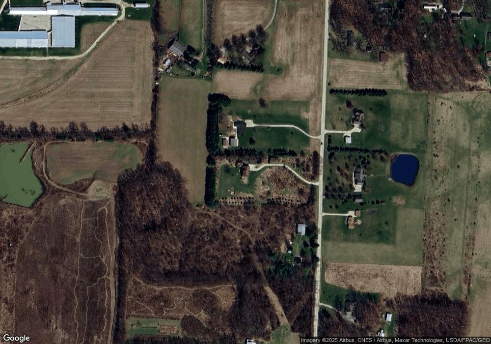
Map
Nearby Homes
- 1015 Township Road 1696
- 1690 County Road 995
- 1106 County Road 30a
- 0 Twp Rd 1806 Unit 11591470
- 1183 County Road 30a
- 19 Maine St
- 1581 County Road 995
- 820 County Road 30a
- 1653 Ohio 60
- 1653 State Route 60
- 1048 Township Road 2156
- 945 Pike Dr
- 3290 Shad Dr W
- 1706 Kingwood Ct
- 1111 Columbus Cir N
- 963 Avalon Dr
- 1696 Township Road 1419
- 150 E Main St
- 1822 Co Rd 1035
- 1816 County Road 1035
- 1830 County Road 1035
- 1825 County Road 1035
- 1041 Township Road 1806
- 1827 County Road 1035
- 1817 County Road 1035
- 1049 Township Road 1806
- 1805 County Road 1035
- 1835 County Road 1035
- 1013 1806
- 1017 Township Road 1806
- 1843 County Road 1035
- 1013 Township Road 1806
- 1001 Township Road 1806
- 1864 County Road 1035
- 1771 County Road 1035
- 1863 County Road 1035
- 1083 Twp Rd 1806
- 1083 Township Road 1806