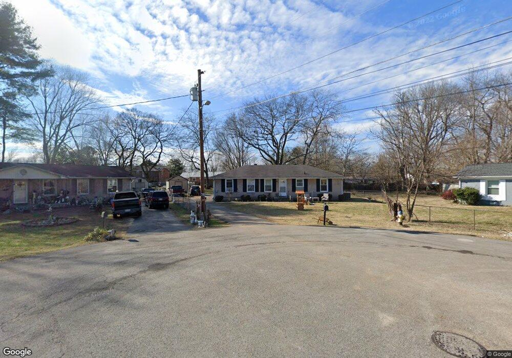
1822 Greerson Ct Murfreesboro, TN 37130
Estimated Value: $261,307 - $317,000
--
Bed
2
Baths
1,525
Sq Ft
$191/Sq Ft
Est. Value
About This Home
This home is located at 1822 Greerson Ct, Murfreesboro, TN 37130 and is currently estimated at $290,827, approximately $190 per square foot. 1822 Greerson Ct is a home located in Rutherford County with nearby schools including Black Fox Elementary School, Whitworth-Buchanan Middle School, and Riverdale High School.
Ownership History
Date
Name
Owned For
Owner Type
Purchase Details
Closed on
Feb 12, 2024
Sold by
Lines Ashley Nichole
Bought by
Bowman Barbara L and Guthrie Nicole L
Current Estimated Value
Purchase Details
Closed on
Sep 11, 2020
Sold by
Bowman Barbara L
Bought by
Bowman Barbara L and Guthrie Nicole
Purchase Details
Closed on
Sep 28, 2001
Sold by
Eades Michael S and Eades Susan S
Bought by
Bowman Johnny P and Bowman Barbara
Home Financials for this Owner
Home Financials are based on the most recent Mortgage that was taken out on this home.
Original Mortgage
$78,376
Interest Rate
6.89%
Purchase Details
Closed on
Jun 1, 1999
Sold by
Turner Jack J
Bought by
Eades Michael C and Eades Susan S
Home Financials for this Owner
Home Financials are based on the most recent Mortgage that was taken out on this home.
Original Mortgage
$48,800
Interest Rate
6.94%
Create a Home Valuation Report for This Property
The Home Valuation Report is an in-depth analysis detailing your home's value as well as a comparison with similar homes in the area
Home Values in the Area
Average Home Value in this Area
Purchase History
| Date | Buyer | Sale Price | Title Company |
|---|---|---|---|
| Bowman Barbara L | -- | None Listed On Document | |
| Bowman Barbara L | -- | None Listed On Document | |
| Bowman Barbara L | -- | American Title & Escrow Llc | |
| Bowman Johnny P | $80,800 | -- | |
| Eades Michael C | $61,000 | -- |
Source: Public Records
Mortgage History
| Date | Status | Borrower | Loan Amount |
|---|---|---|---|
| Previous Owner | Eades Michael C | $78,376 | |
| Previous Owner | Eades Michael C | $48,800 |
Source: Public Records
Tax History Compared to Growth
Tax History
| Year | Tax Paid | Tax Assessment Tax Assessment Total Assessment is a certain percentage of the fair market value that is determined by local assessors to be the total taxable value of land and additions on the property. | Land | Improvement |
|---|---|---|---|---|
| 2025 | $1,642 | $58,025 | $13,750 | $44,275 |
| 2024 | $1,642 | $58,025 | $13,750 | $44,275 |
| 2023 | $1,097 | $58,450 | $13,750 | $44,700 |
| 2022 | $945 | $58,450 | $13,750 | $44,700 |
| 2021 | $854 | $38,500 | $9,375 | $29,125 |
| 2020 | $854 | $38,500 | $9,375 | $29,125 |
| 2019 | $854 | $38,500 | $9,375 | $29,125 |
| 2018 | $1,174 | $38,500 | $0 | $0 |
| 2017 | $1,043 | $26,825 | $0 | $0 |
| 2016 | $1,043 | $26,825 | $0 | $0 |
| 2015 | $1,043 | $26,825 | $0 | $0 |
| 2014 | $667 | $26,825 | $0 | $0 |
| 2013 | -- | $28,400 | $0 | $0 |
Source: Public Records
Map
Nearby Homes
- 1834 Greerson Ct
- 1806 Greerson Dr
- 1819 Greerson Dr
- 1919 Bradyville Pike
- 2010 Olympia Place
- 2002 Obrien Dr
- 2010 Bartway Dr Unit 2012
- 1518 Cameron Ct
- 1214 Rutherford St
- 1602 Cypress Dr
- 1951 Russell Ct
- 1030 Hunt St
- 1519 Kensington Dr
- 1811 Meadowgreen Dr
- 2131 S Rutherford Blvd
- 2010 S Rutherford Blvd
- 1906 Gardner Dr
- 914 Kay St
- 2209 Seahunter Ct
- 2210 Seahunter Ct
- 1818 Greerson Ct
- 1815 Foxdale Dr
- 1826 Greerson Ct
- 1903 Foxdale Dr
- 1811 Foxdale Dr
- 1810 Greerson Dr
- 1830 Greerson Ct
- 1807 Foxdale Dr
- 1907 Foxdale Dr
- 1827 Greerson Dr
- 1823 Greerson Dr
- 1810 Foxdale Dr
- 1903 Greerson Dr
- 1803 Foxdale Dr
- 1811 Bartway Dr
- 1807 Bartway Dr
- 1906 Greerson Dr
- 1718 Clydeway Dr
- 1815 Bartway Dr
- 1806 Foxdale Dr