1822 Mill Creek Rd Laurel, MS 39443
Estimated Value: $200,000 - $388,000
5
Beds
4
Baths
4,490
Sq Ft
$71/Sq Ft
Est. Value
About This Home
This home is located at 1822 Mill Creek Rd, Laurel, MS 39443 and is currently estimated at $320,710, approximately $71 per square foot. 1822 Mill Creek Rd is a home located in Jones County.
Ownership History
Date
Name
Owned For
Owner Type
Purchase Details
Closed on
Aug 22, 2013
Sold by
Regions Bank
Bought by
White Clifton W and White Terri R
Current Estimated Value
Purchase Details
Closed on
Mar 19, 2013
Sold by
White Terri R and White Clifton W
Bought by
Williams Bryan K and Williams Selena E
Home Financials for this Owner
Home Financials are based on the most recent Mortgage that was taken out on this home.
Original Mortgage
$140,400
Interest Rate
3.57%
Mortgage Type
New Conventional
Purchase Details
Closed on
Feb 27, 2007
Sold by
Burkes Mavis E
Bought by
White Clifton W and White Terri R
Create a Home Valuation Report for This Property
The Home Valuation Report is an in-depth analysis detailing your home's value as well as a comparison with similar homes in the area
Home Values in the Area
Average Home Value in this Area
Purchase History
| Date | Buyer | Sale Price | Title Company |
|---|---|---|---|
| White Clifton W | -- | -- | |
| Williams Bryan K | -- | -- | |
| White Clifton W | -- | -- |
Source: Public Records
Mortgage History
| Date | Status | Borrower | Loan Amount |
|---|---|---|---|
| Previous Owner | Williams Bryan K | $140,400 |
Source: Public Records
Tax History Compared to Growth
Tax History
| Year | Tax Paid | Tax Assessment Tax Assessment Total Assessment is a certain percentage of the fair market value that is determined by local assessors to be the total taxable value of land and additions on the property. | Land | Improvement |
|---|---|---|---|---|
| 2025 | $2,503 | $22,490 | $0 | $0 |
| 2024 | $2,503 | $22,145 | $0 | $0 |
| 2023 | $2,503 | $22,148 | $0 | $0 |
| 2022 | $3,117 | $26,403 | $0 | $0 |
| 2021 | $3,131 | $26,407 | $0 | $0 |
| 2020 | $3,082 | $25,571 | $0 | $0 |
| 2019 | $3,108 | $25,673 | $0 | $0 |
| 2018 | $3,184 | $26,241 | $0 | $0 |
| 2017 | $3,178 | $26,229 | $0 | $0 |
| 2016 | $2,951 | $25,084 | $0 | $0 |
| 2015 | $2,799 | $25,057 | $0 | $0 |
| 2014 | $2,799 | $25,033 | $0 | $0 |
Source: Public Records
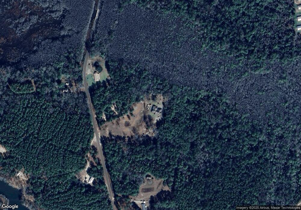
Map
Nearby Homes
- 117 Holifield Rd
- 7 G Morgan Rd
- 81 Mollie Boutwell Rd
- 43.16 Crooked Rd
- 44 Pine Lane Ranch Rd
- 0 Walt Culpepper Rd
- 00 N Forrest Road 205
- 72 Poole Creek Rd
- 12 Timber Ridge
- 215 Church Dr
- 101 Pearl Hodge Rd
- 18 Shadow Ridge Dr
- 19 Shadow Ridge Dr
- 22 Shadow Ridge Dr
- 16 Shadow Ridge Dr
- 30 Shadow Ridge Dr
- 17 Shadow Ridge Dr
- 00 Timber Ridge Dr
- 10 Shadow Ridge Dr
- 302 Freedom Rd
- 1845 Mill Creek Rd
- 1807 Mill Creek Rd
- 1792 Mill Creek Rd
- 1780 Mill Creek Rd
- 1928 Mill Creek Rd
- 1763 Mill Creek Rd
- 1946 Mill Creek Rd
- 1958 Mill Creek Rd
- 1962 Mill Creek Rd
- 1754 Mill Creek Rd
- 1749 Mill Creek Rd
- 78 Keyes Rd
- 1943 Mill Creek Rd
- 37 Pine Ln
- 0 Gatlin-Jordan Rd
- 1933 Mill Creek Rd
- 68 Sixteenth Section Rd
- 68 Sixteenth Section Rd
- 143 F L Pearson Rd
- 11 Gatlin Jordan Rd