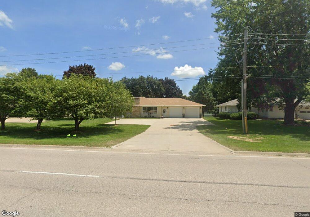
1822 N Us Highway 71 Carroll, IA 51401
Estimated Value: $235,000 - $367,000
3
Beds
2
Baths
2,046
Sq Ft
$135/Sq Ft
Est. Value
About This Home
This home is located at 1822 N Us Highway 71, Carroll, IA 51401 and is currently estimated at $276,435, approximately $135 per square foot. 1822 N Us Highway 71 is a home located in Carroll County with nearby schools including Fairview Elementary School, Adams Elementary School, and Carroll Middle School.
Ownership History
Date
Name
Owned For
Owner Type
Purchase Details
Closed on
Aug 17, 2016
Sold by
Simons Robert J and Simons Deborah K
Bought by
Simons Robert J and Simons Deborah K
Current Estimated Value
Purchase Details
Closed on
Jul 28, 2014
Sold by
Underberg Michael L and Underberg Marilyn N
Bought by
Simons Robert J
Purchase Details
Closed on
Nov 1, 2012
Sold by
Boyce John Larry
Bought by
Underberg Michael L and Underberg Marilyn N
Home Financials for this Owner
Home Financials are based on the most recent Mortgage that was taken out on this home.
Original Mortgage
$110,000
Interest Rate
3.51%
Mortgage Type
Future Advance Clause Open End Mortgage
Create a Home Valuation Report for This Property
The Home Valuation Report is an in-depth analysis detailing your home's value as well as a comparison with similar homes in the area
Home Values in the Area
Average Home Value in this Area
Purchase History
| Date | Buyer | Sale Price | Title Company |
|---|---|---|---|
| Simons Robert J | -- | None Available | |
| Simons Robert J | $172,000 | None Available | |
| Underberg Michael L | $110,000 | Security Title & Investment |
Source: Public Records
Mortgage History
| Date | Status | Borrower | Loan Amount |
|---|---|---|---|
| Previous Owner | Underberg Michael L | $110,000 |
Source: Public Records
Tax History Compared to Growth
Tax History
| Year | Tax Paid | Tax Assessment Tax Assessment Total Assessment is a certain percentage of the fair market value that is determined by local assessors to be the total taxable value of land and additions on the property. | Land | Improvement |
|---|---|---|---|---|
| 2025 | $2,416 | $228,050 | $35,350 | $192,700 |
| 2024 | $2,362 | $202,870 | $35,350 | $167,520 |
| 2023 | $2,587 | $202,870 | $35,350 | $167,520 |
| 2022 | $2,452 | $181,460 | $30,300 | $151,160 |
| 2021 | $2,452 | $181,460 | $30,300 | $151,160 |
| 2020 | $2,507 | $181,460 | $30,300 | $151,160 |
| 2019 | $2,606 | $181,460 | $30,300 | $151,160 |
| 2018 | $2,450 | $181,460 | $30,300 | $151,160 |
| 2017 | $2,450 | $183,055 | $31,340 | $151,715 |
| 2016 | $2,216 | $166,860 | $0 | $0 |
| 2015 | $2,216 | $183,280 | $0 | $0 |
| 2014 | $2,470 | $183,280 | $0 | $0 |
Source: Public Records
Map
Nearby Homes
- 1810 Crestview Dr
- 1852 Quint Ave
- 1608 Salinger Ave
- 711 W 21st St
- 631 W 17th St
- 611 W 21st St
- 0 E 10th St Unit 5423085
- 0 E 10th St Unit 6324630
- 0 E 10th St Unit 6319081
- 907 Salinger Ave
- 219 Windwood Dr
- 1509 Birch St
- 1601 N Main St
- 1515 N Main St
- 1320 N Adams St
- 1015 N Adams St
- 0 Deer Creek Ln Unit 6302348
- 1108 N Main St
- 1102 N Main St
- 727 N Adams St
- 1822 N Us Highway 71
- 1812 N Us Highway 71
- 1832 N Us Highway 71
- 1018 W 18th St
- 1821 Crestview Dr
- 1827 Crestview Dr
- 1813 Crestview Dr
- 1835 Crestview Dr
- 1006 W 18th St
- 1839 Crestview Dr
- 1019 W 19th St
- 1801 N Us Highway 71
- 1824 Crestview Dr
- 1847 Crestview Dr
- 1818 Crestview Dr
- 1832 Crestview Dr
- 1838 Crestview Dr
- 1835 N Us Highway 71
- 919 W 19th St
- 1001 W 18th St