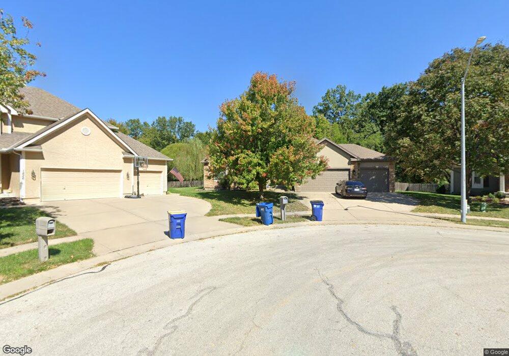
1822 Surrey St Liberty, MO 64068
Estimated Value: $462,000 - $482,920
3
Beds
3
Baths
2,057
Sq Ft
$229/Sq Ft
Est. Value
About This Home
This home is located at 1822 Surrey St, Liberty, MO 64068 and is currently estimated at $471,230, approximately $229 per square foot. 1822 Surrey St is a home located in Clay County with nearby schools including Alexander Doniphan Elementary School, Liberty Middle School, and Liberty High School.
Ownership History
Date
Name
Owned For
Owner Type
Purchase Details
Closed on
May 8, 2018
Sold by
Mcmorrow James C and Mcmorrow Dawn M
Bought by
Mcmorrow James C and Mcmorrow Dawn M
Current Estimated Value
Purchase Details
Closed on
Jul 14, 2005
Sold by
Jacobs Construction Llc
Bought by
Mcmorrow James C and Mcmorrow Dawn M
Home Financials for this Owner
Home Financials are based on the most recent Mortgage that was taken out on this home.
Original Mortgage
$257,900
Outstanding Balance
$127,696
Interest Rate
4.87%
Mortgage Type
Fannie Mae Freddie Mac
Estimated Equity
$343,534
Purchase Details
Closed on
Feb 9, 2005
Sold by
South Liberty Development Llc
Bought by
Jacobs Construction Llc
Home Financials for this Owner
Home Financials are based on the most recent Mortgage that was taken out on this home.
Original Mortgage
$260,675
Interest Rate
5.85%
Mortgage Type
Purchase Money Mortgage
Create a Home Valuation Report for This Property
The Home Valuation Report is an in-depth analysis detailing your home's value as well as a comparison with similar homes in the area
Home Values in the Area
Average Home Value in this Area
Purchase History
| Date | Buyer | Sale Price | Title Company |
|---|---|---|---|
| Mcmorrow James C | -- | None Available | |
| Mcmorrow James C | -- | Source One Title | |
| Jacobs Construction Llc | -- | Source One Title |
Source: Public Records
Mortgage History
| Date | Status | Borrower | Loan Amount |
|---|---|---|---|
| Open | Mcmorrow James C | $257,900 | |
| Previous Owner | Jacobs Construction Llc | $260,675 |
Source: Public Records
Tax History
| Year | Tax Paid | Tax Assessment Tax Assessment Total Assessment is a certain percentage of the fair market value that is determined by local assessors to be the total taxable value of land and additions on the property. | Land | Improvement |
|---|---|---|---|---|
| 2025 | $5,028 | $74,370 | -- | -- |
| 2024 | $5,028 | $65,380 | -- | -- |
| 2023 | $5,114 | $65,380 | $0 | $0 |
| 2022 | $4,463 | $56,340 | $0 | $0 |
| 2021 | $4,428 | $56,335 | $7,980 | $48,355 |
| 2020 | $4,379 | $52,310 | $0 | $0 |
| 2019 | $4,378 | $52,310 | $0 | $0 |
Source: Public Records
Map
Nearby Homes
- 1849 Arbor Trail
- 1845 Arbor Trail
- 1985 Longview Dr
- 1916 Longview Dr
- 1989 Longview Dr
- 1768 Homestead Dr
- 1836 Green Meadow Dr
- 1829 Green Meadow Dr
- 1975 Harvest Rd
- 1979 Harvest Rd
- 1971 Harvest Rd
- 1856 Arbor Trail
- 1561 Parkside Dr
- 405 Wherritt Ln
- 2153 Black Walnut Dr
- 2152 Black Walnut Dr
- 2157 Black Walnut Dr
- 2156 Black Walnut Dr
- 2181 Heritage Ct
- 1929 Longview Dr
- 1826 Surrey St
- 1821 Surrey St
- 1830 Surrey St
- 1829 Parkside Dr
- 1825 Surrey St
- 1833 Parkside Dr
- 1834 Surrey St
- 1827 Surrey St
- 1837 Parkside Dr
- 1838 Surrey St
- 1831 Surrey St
- 1841 Parkside Dr
- 1851 Buckingham Dr
- 1835 Surrey St
- 1844 Surrey St
- 1826 Parkside Dr
- 1830 Parkside Dr
- 1817 Parkside Dr
- 1822 Parkside Dr
- 1845 Parkside Dr
Your Personal Tour Guide
Ask me questions while you tour the home.