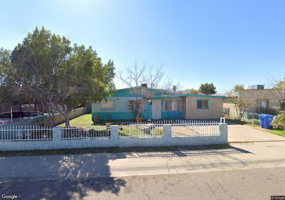
1822 W Carter Rd Phoenix, AZ 85041
South Mountain NeighborhoodEstimated Value: $237,587 - $278,000
Studio
1
Bath
936
Sq Ft
$266/Sq Ft
Est. Value
About This Home
This home is located at 1822 W Carter Rd, Phoenix, AZ 85041 and is currently estimated at $248,897, approximately $265 per square foot. 1822 W Carter Rd is a home located in Maricopa County with nearby schools including Ignacio Conchos School, Cesar Chavez High School, and Phoenix Coding Academy.
Ownership History
Date
Name
Owned For
Owner Type
Purchase Details
Closed on
Sep 22, 2025
Sold by
Guzman Manuel L
Bought by
Guzman Manuel L and Guzman Adrianna R
Current Estimated Value
Purchase Details
Closed on
Feb 5, 2002
Sold by
Cole Estella
Bought by
Guzman Manuel L
Home Financials for this Owner
Home Financials are based on the most recent Mortgage that was taken out on this home.
Original Mortgage
$78,300
Interest Rate
6.85%
Mortgage Type
FHA
Create a Home Valuation Report for This Property
The Home Valuation Report is an in-depth analysis detailing your home's value as well as a comparison with similar homes in the area
Home Values in the Area
Average Home Value in this Area
Purchase History
| Date | Buyer | Sale Price | Title Company |
|---|---|---|---|
| Guzman Manuel L | -- | None Listed On Document | |
| Guzman Manuel L | $79,000 | Fidelity National Title |
Source: Public Records
Mortgage History
| Date | Status | Borrower | Loan Amount |
|---|---|---|---|
| Previous Owner | Guzman Manuel L | $78,300 |
Source: Public Records
Tax History
| Year | Tax Paid | Tax Assessment Tax Assessment Total Assessment is a certain percentage of the fair market value that is determined by local assessors to be the total taxable value of land and additions on the property. | Land | Improvement |
|---|---|---|---|---|
| 2025 | $580 | $4,290 | -- | -- |
| 2024 | $548 | $4,086 | -- | -- |
| 2023 | $548 | $19,760 | $3,950 | $15,810 |
| 2022 | $537 | $14,560 | $2,910 | $11,650 |
| 2021 | $553 | $13,050 | $2,610 | $10,440 |
| 2020 | $546 | $11,550 | $2,310 | $9,240 |
| 2019 | $528 | $9,550 | $1,910 | $7,640 |
| 2018 | $513 | $8,180 | $1,630 | $6,550 |
| 2017 | $478 | $5,800 | $1,160 | $4,640 |
| 2016 | $453 | $4,770 | $950 | $3,820 |
| 2015 | $421 | $3,830 | $760 | $3,070 |
Source: Public Records
Map
Nearby Homes
- 1802 W Carter Rd
- 7014 S 17th Ave
- 1723 W Pollack St
- 1635 W Dunbar Dr
- 1824 W Lydia Ln
- 1550 W Saint Kateri Dr
- 1838 W Alta Vista Rd
- 7413 S 22nd Ave
- 2202 W Carter Rd
- 1917 W Burgess Ln
- 7433 S 22nd Ave
- 2224 W Minton St
- 6216 S 16th Ln
- 6610 S 22nd Dr
- 1822 W Lynne Ln
- 8020 S 19th Ave
- 2323 W Carson Rd
- 7331 S 23rd Dr
- 5926 S 16th Dr
- 2138 W Ian Dr
- 1818 W Carter Rd
- 1826 W Carter Rd
- 1821 W Carson Rd
- 1823 W Carson Rd
- 1812 W Carter Rd
- 1832 W Carter Rd
- 1827 W Carson Rd
- 1817 W Carson Rd
- 1821 W Carter Rd
- 1827 W Carter Rd
- 1831 W Carson Rd
- 1817 W Carter Rd
- 1811 W Carson Rd
- 1831 W Carter Rd
- 1808 W Carter Rd
- 1838 W Carter Rd
- 1811 W Carter Rd
- 1837 W Carson Rd
- 1837 W Carter Rd
- 1807 W Carson Rd
Your Personal Tour Guide
Ask me questions while you tour the home.