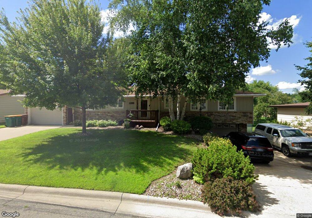
1823 Brookside Cir Albert Lea, MN 56007
Estimated Value: $328,000 - $389,000
About This Home
This home is located at 1823 Brookside Cir, Albert Lea, MN 56007 and is currently estimated at $352,703, approximately $107 per square foot. 1823 Brookside Cir is a home located in Freeborn County with nearby schools including Lakeview Elementary School, Southwest Middle School, and Albert Lea Senior High School.
Ownership History
We collect this data history from publicly available records. To have your information removed, we recommend requesting removal directly through your county’s website.
Purchase Details
Home Financials for this Owner
Home Financials are based on the most recent Mortgage that was taken out on this home.Purchase Details
Home Values in the Area
Average Home Value in this Area
Purchase History
We collect this data history from publicly available records. To have your information removed, we recommend requesting removal directly through your county’s website.
| Date | Buyer | Sale Price | Title Company |
|---|---|---|---|
| $210,000 | -- | ||
| -- | -- |
Mortgage History
We collect this data history from publicly available records. To have your information removed, we recommend requesting removal directly through your county’s website.
| Date | Status | Borrower | Loan Amount |
|---|---|---|---|
| Open | $209,700 |
Tax History
We collect this data history from publicly available records. To have your information removed, we recommend requesting removal directly through your county’s website.
| Year | Tax Paid | Tax Assessment Tax Assessment Total Assessment is a certain percentage of the fair market value that is determined by local assessors to be the total taxable value of land and additions on the property. | Land | Improvement |
|---|---|---|---|---|
| 2026 | $6,810 | $348,100 | $54,400 | $293,700 |
| 2025 | $6,462 | $348,100 | $54,400 | $293,700 |
| 2024 | $6,320 | $322,400 | $54,400 | $268,000 |
| 2023 | $5,816 | $325,200 | $54,400 | $270,800 |
| 2022 | $5,662 | $290,900 | $43,500 | $247,400 |
| 2021 | $5,574 | $243,800 | $43,500 | $200,300 |
| 2020 | $5,284 | $223,700 | $43,500 | $180,200 |
| 2019 | $4,928 | $208,000 | $43,500 | $164,500 |
| 2018 | $4,462 | $0 | $0 | $0 |
| 2016 | $3,566 | $0 | $0 | $0 |
| 2015 | $2,540 | $0 | $0 | $0 |
| 2014 | $2,588 | $0 | $0 | $0 |
| 2012 | $2,862 | $0 | $0 | $0 |
Map
- 1821 Brookside Cir
- 1902 Brookside Dr
- 1825 Bayview Dr
- 1918 Bayview Dr
- 1845 Greenwood Dr
- 1005 W Richway Dr
- 419 Ridge Rd
- 417 Meredith Rd
- 406 Ridge Cir
- 1815 Lakewood Ave
- 311 Meredith Rd
- 437 Crescent Dr
- 406 Robin Rd
- 314 Meredith Rd
- 314 Garden Rd
- 1933 Wilby Rd
- 1309 Oriole Dr
- 307 Channel Rd
- 1401 Martin Rd
- 202 North Ln
- 1819 Brookside Cir
- 1820 Brookside Cir
- 1825 Brookside Cir
- 1817 Brookside Cir
- 1824 Brookside Cir
- 1818 Brookside Cir
- 1815 Brookside Dr
- 1905 Brookside Dr
- 1816 Brookside Cir
- 1815 Brookside Cir
- 1811 Brookside Dr
- 1909 Brookside Dr
- 1822 Brookside Dr
- 1813 Brookside Cir
- 1818 Brookside Dr
- 1906 Brookside Dr
- 1810 Brookside Cir
- 1913 Brookside Dr
- 1814 Brookside Dr
- 1910 Brookside Dr
Ask me questions while you tour the home.